[Photos taken 26 July 2025, posted online 05 July 2026. Warm day today. Oh, what to do?… ]
The big hike of the ladies-trip was exploring Þakgil (“Thakgil” means “Roof-canyon”) and Remundargil, both a drive inland from Vík í Mýrdal, in Katla Geopark. The weather was excellent, and it was a fabulous day!
Saturday 26 July 2025
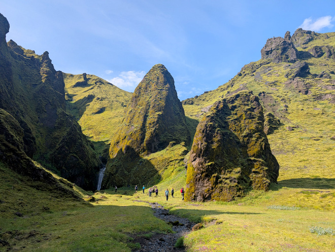
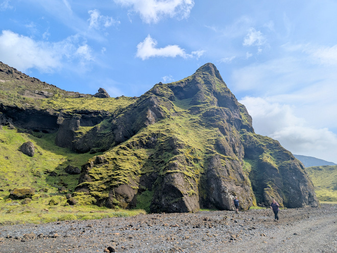
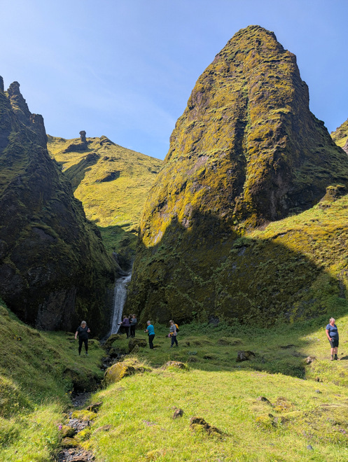
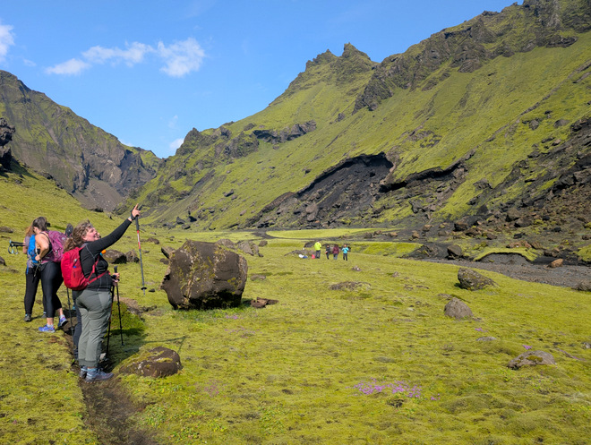
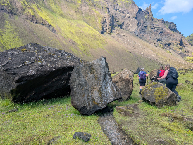
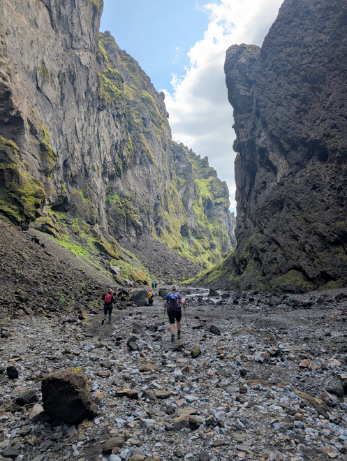
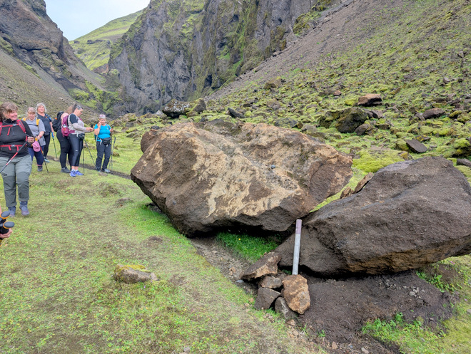
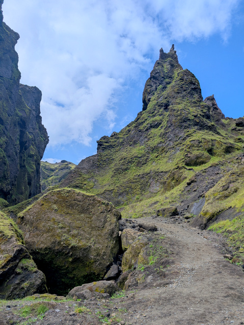
Dwarfed by nature. A couple of “boulders” at the mouth-section of Remundargil.
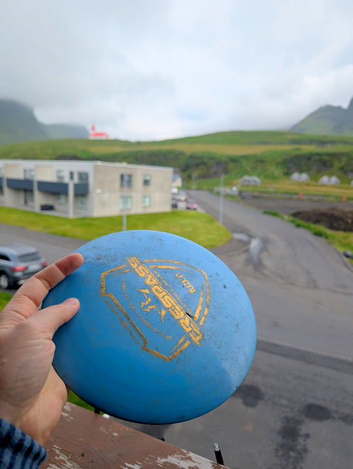
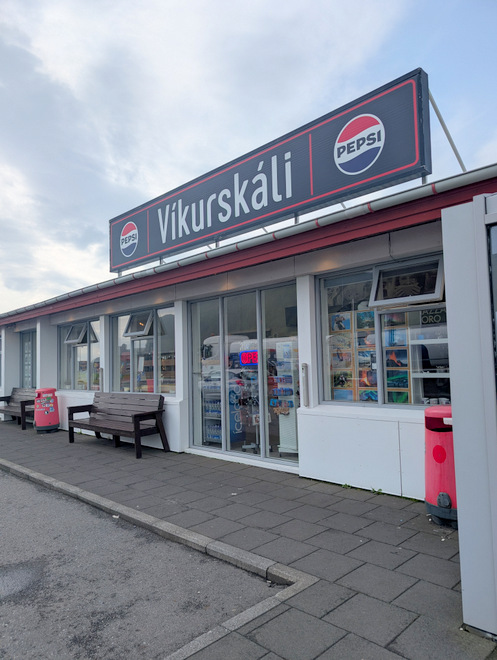
I started the day by returning the frisbee disc we’d rescued from the weeds the night before. It had a name and phone number on the underside, and the owner asked me to leave it at a gas station on the other side of the road. Always label your discs people!!
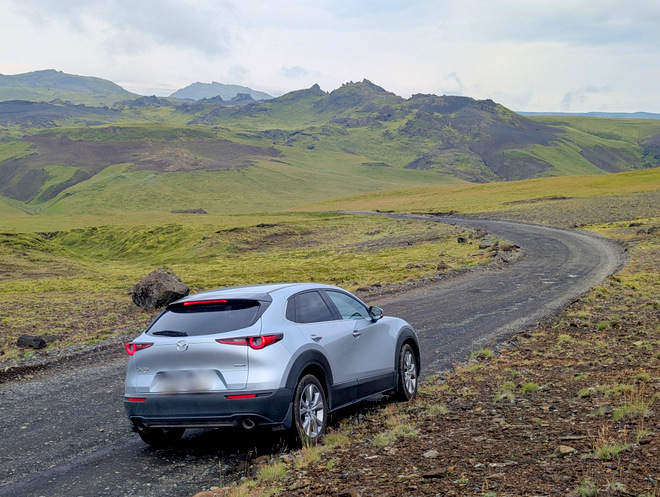
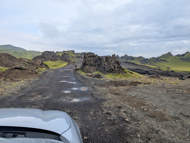
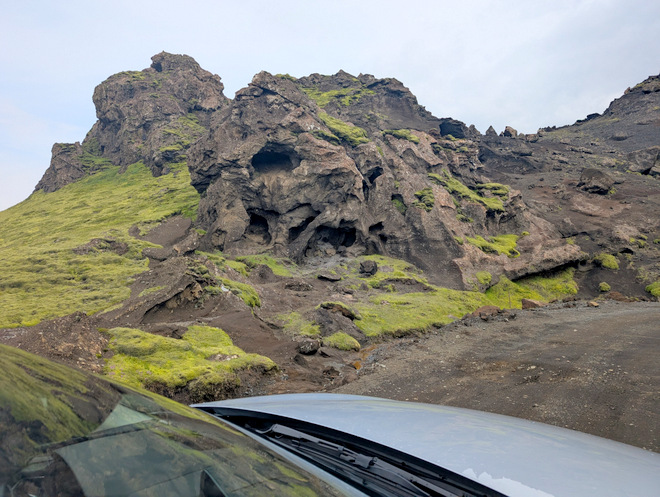
To get to the canyons, you must go over a low-ish-but-wide-ish mountain. In parts the surroundings get a bit surreal.
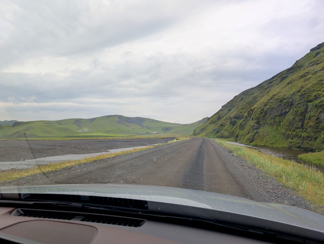
The road was mostly fine, but a bit choppy in places.
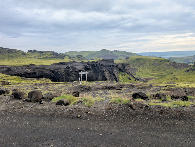
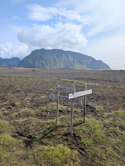
A sign for reference.
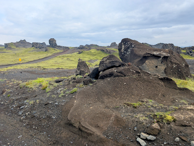
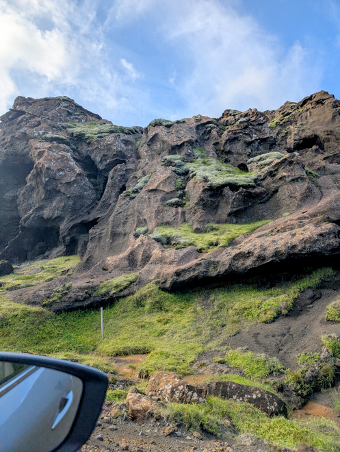
Random rocks protruding here and there.
The weather has had a lot of fun shaping these…
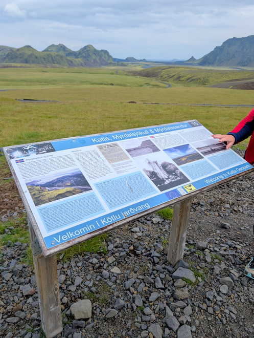
We stopped by the info-signs, welcoming us to Katla Geopark.
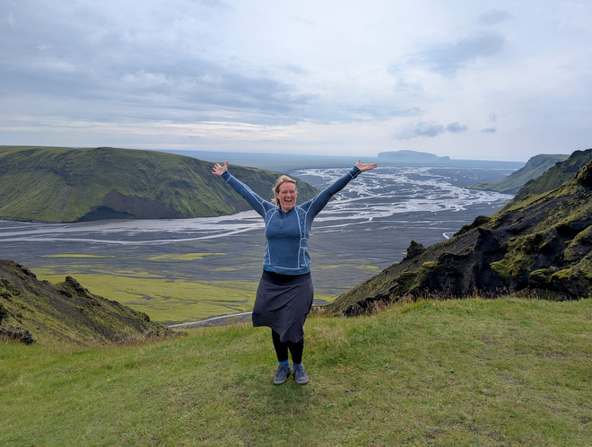
Excitement!!
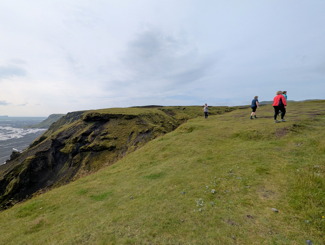
We managed to avoid tumbling down the hillside.
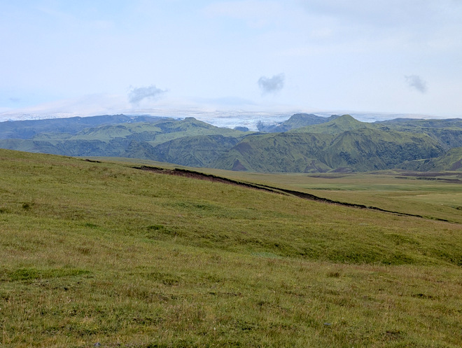
The glacier lurking behind the mountains.
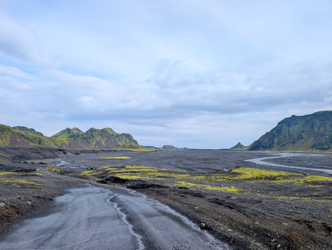
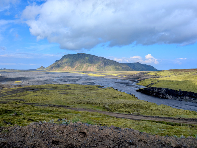
After the lookout point, the mountain ends somewhat abruptly, and you get plunged into a sandy wasteland (the glacier floodplain). I remember going over that bridge on my e-bike!
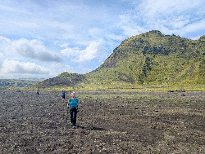
The entrance to Þakgil ahead.
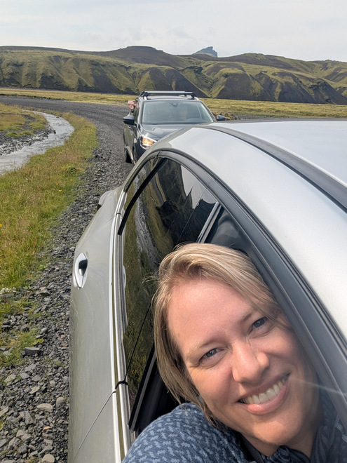
Busy oooh-ing and aaahhhh-ing over the view from the car.
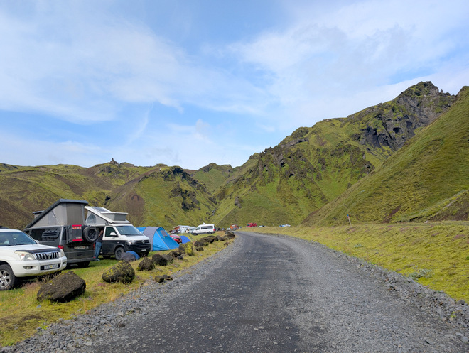
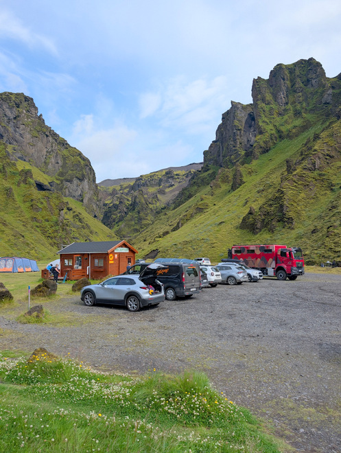
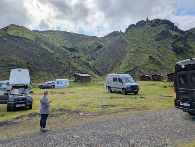
There is a lovely campground inside the canyon. It is circled by a ridge.
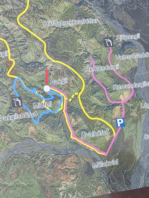
The only live-and-learn of the trip: Next time: park cars by the blue P, and then you can (probably) do both forks of the pink hike on the right. As it happened, there was some hope in the group to take the dashed part of the yellow path up, and perhaps into Remundargil proper (that path is on some maps), and thus walk in a loop, but we all balked at even attempting the steep incline when we found the yellow dashed fork, and were even happier when we saw how it rejoined the pink one below, en even happier still when we found the old entry down the ridiculously steep hill into Remundargil. The hike between Þakgil and Remundargil is lovely, but the way back is underwhelming after the spectacular Remundargil (left fork).
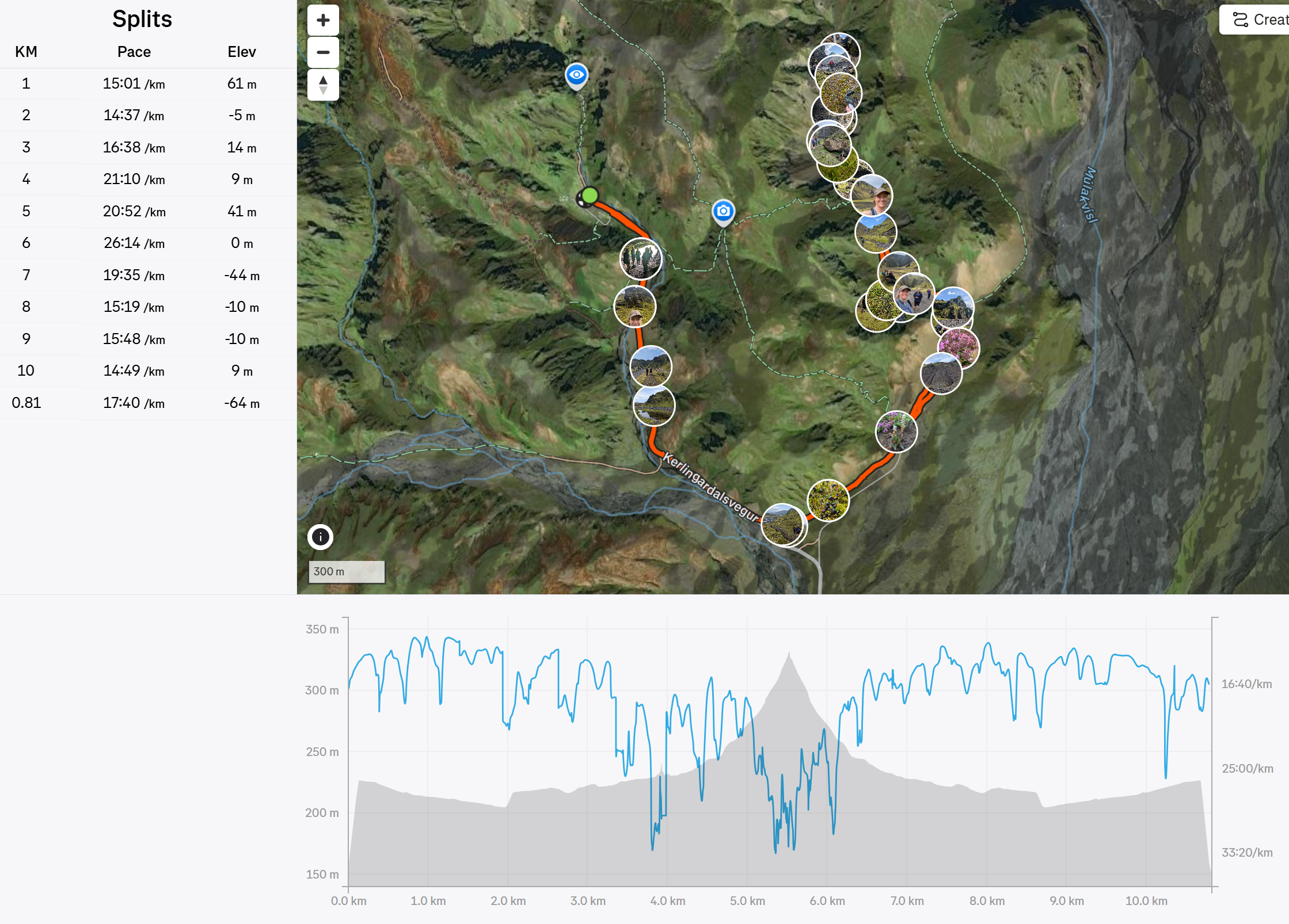
The path we took, 11 km in all, according to Strava.
Þakgil was pretty busy, helped by the lovely weather. (Anna had camped here with her friends the weekend before, in the rain.)
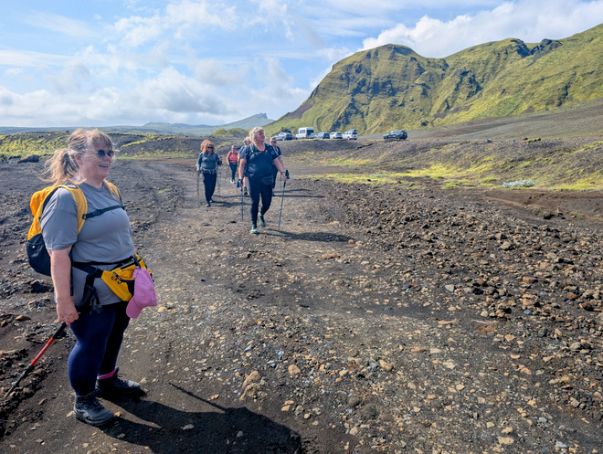
We set off at 11:30.
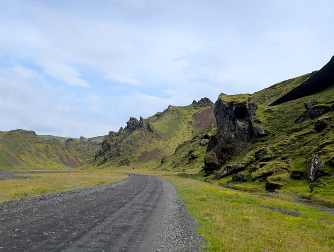
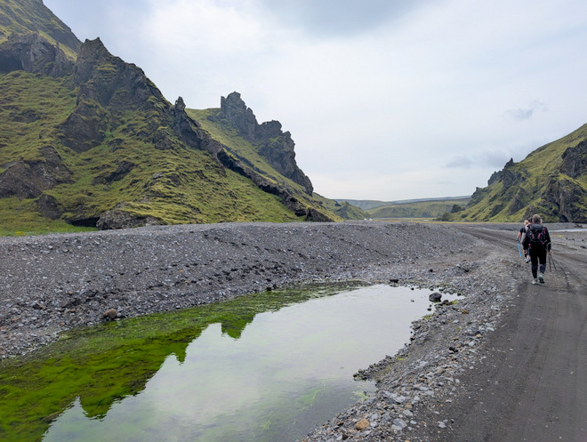
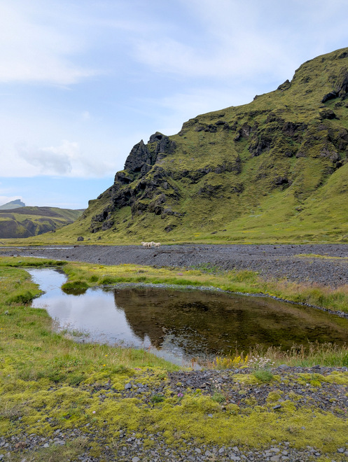
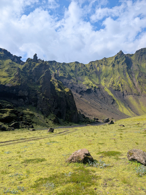
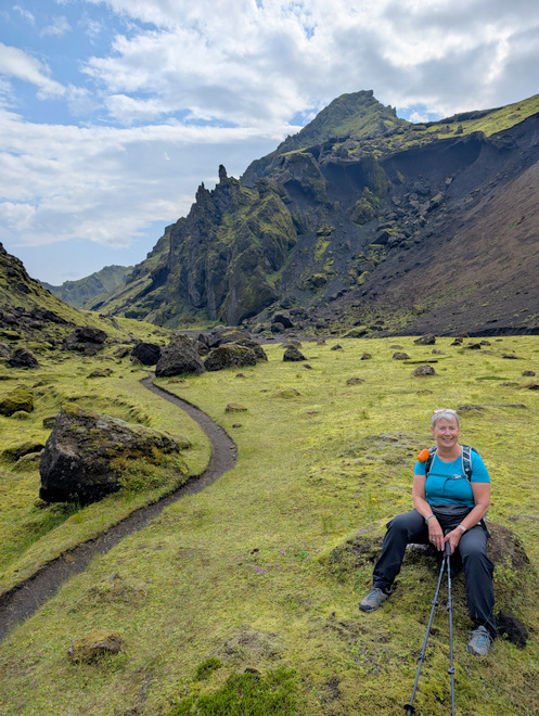
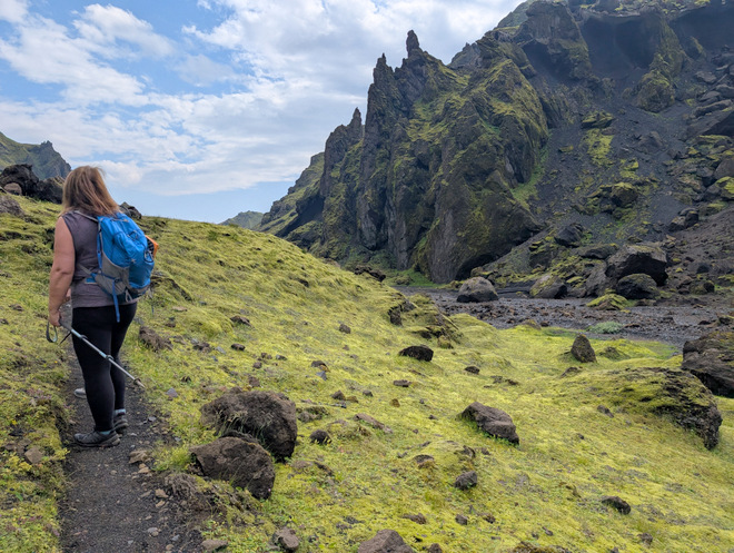
The area is a feast for the eyes.
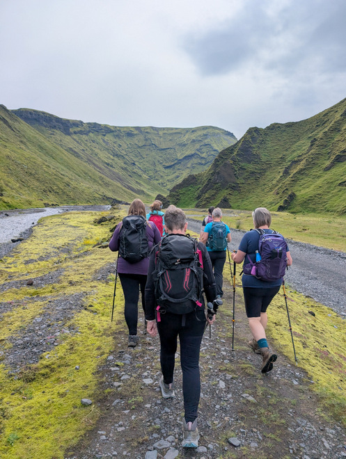
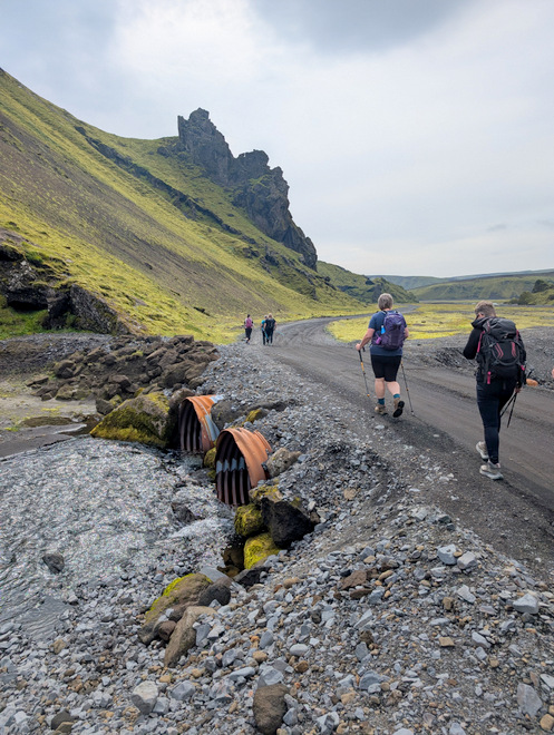
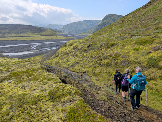
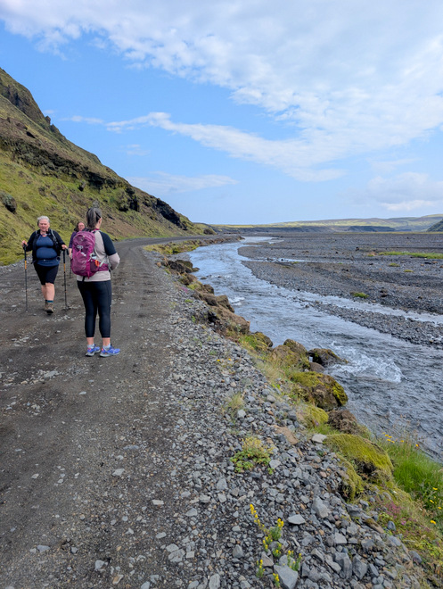
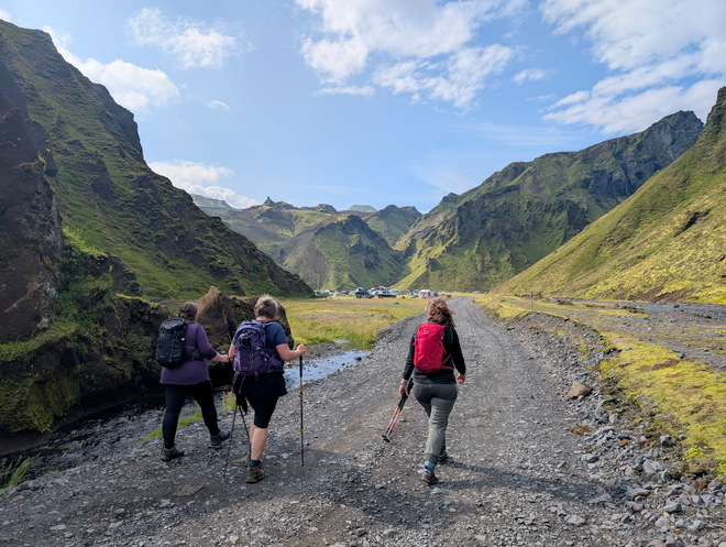
There’s not really a footpath out of the canyon, so we walked on the road itself for a while.
Is that a shrouded person lurking up there in the hill?
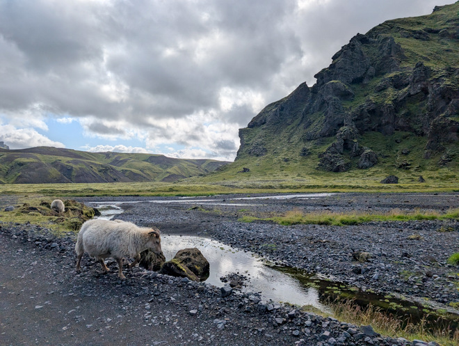
The sheep kept their distance.
At one point I sort of stumbled and discovered that my watch thought I’d keeled over, and wanted to send an emergency SMS. The phone reception was spotty, so I managed to thwart it.
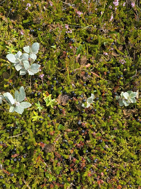
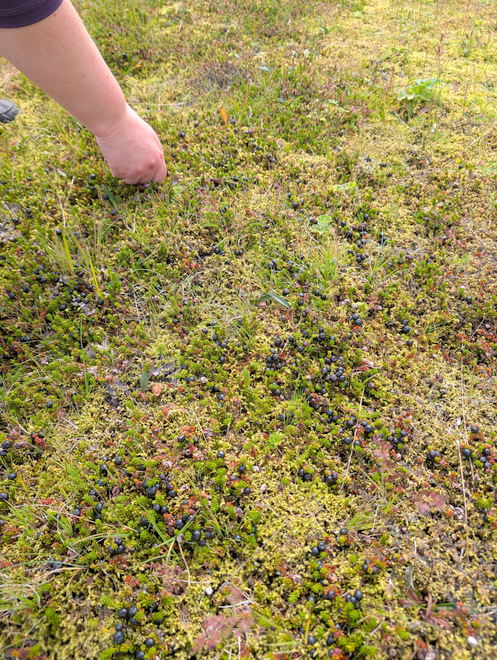
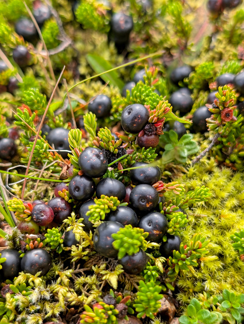
Crowberries!!
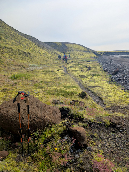
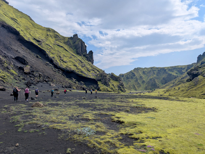
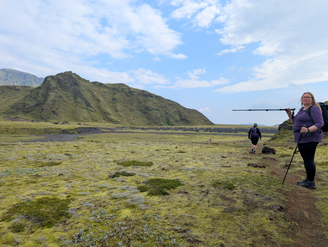
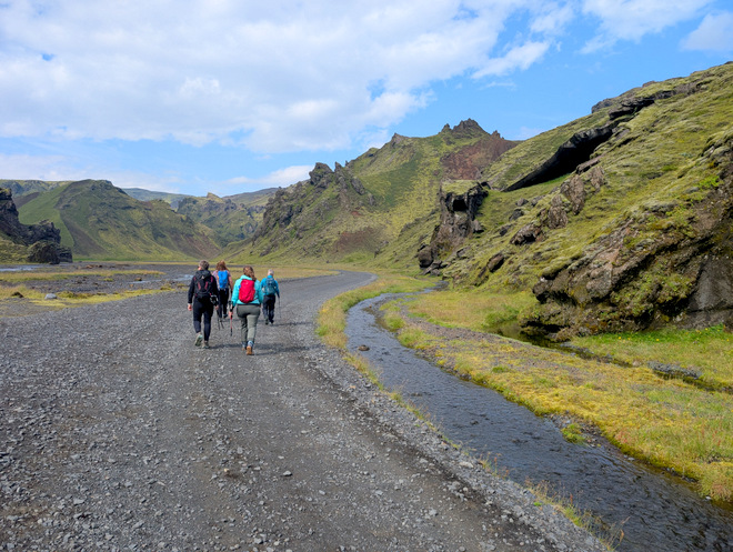
There a good path between the two canyons.
We found where the yellow path mergers with the other one. It was very steep!
The yellow path merges somewhere from that hill on the right.
It took us an hour to reach the blue P parking lot.
At the pink fork. We would turn left.
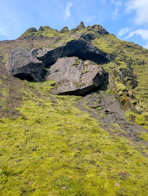
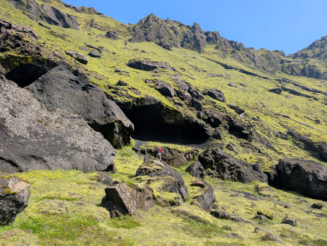
Caves up on the left.
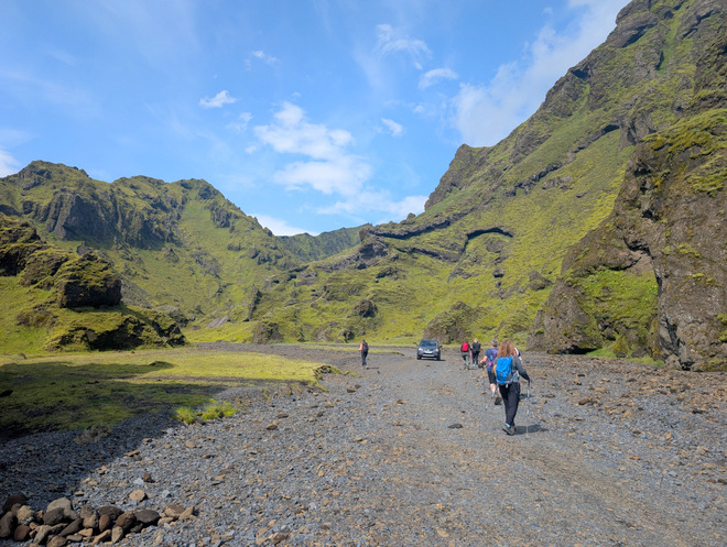
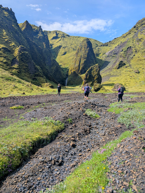
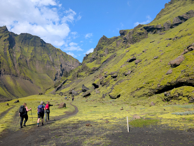
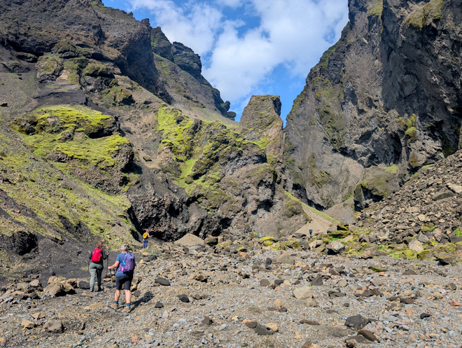
Entering Remundargil (Canyon of Remundur).
This reminded me of a ginormous animal paw.
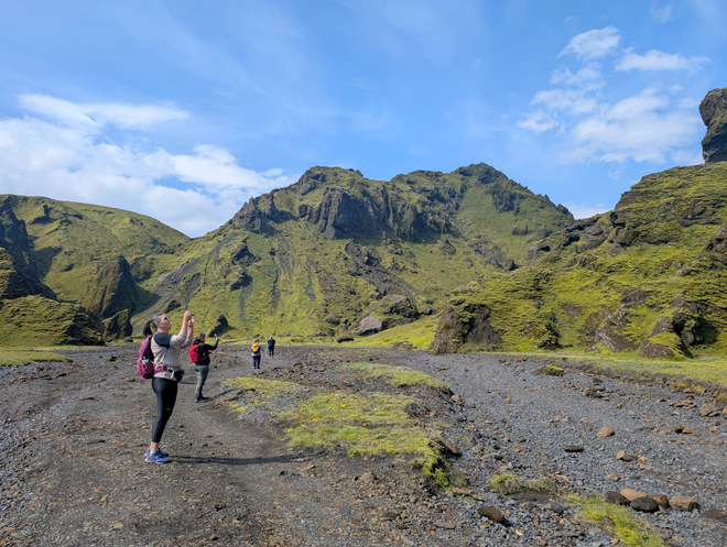
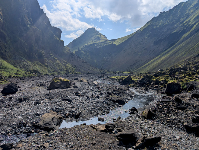
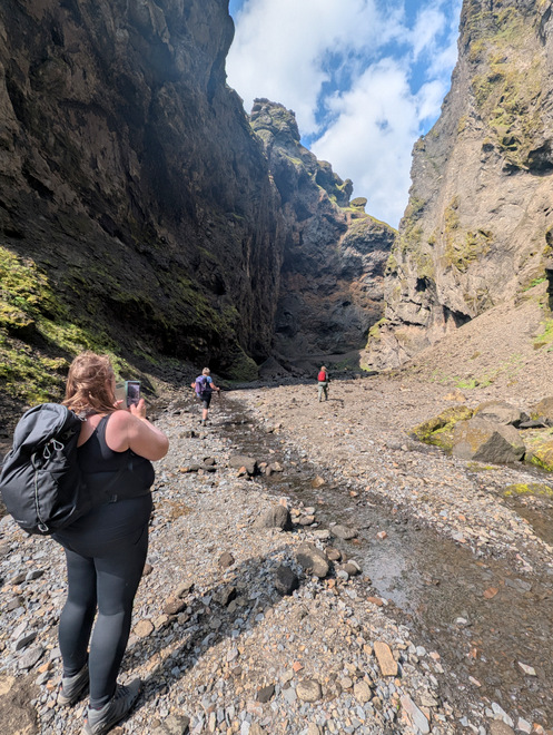
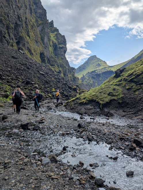
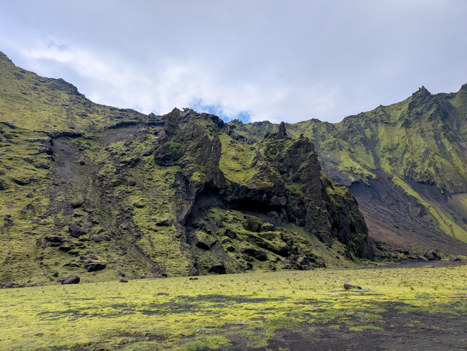
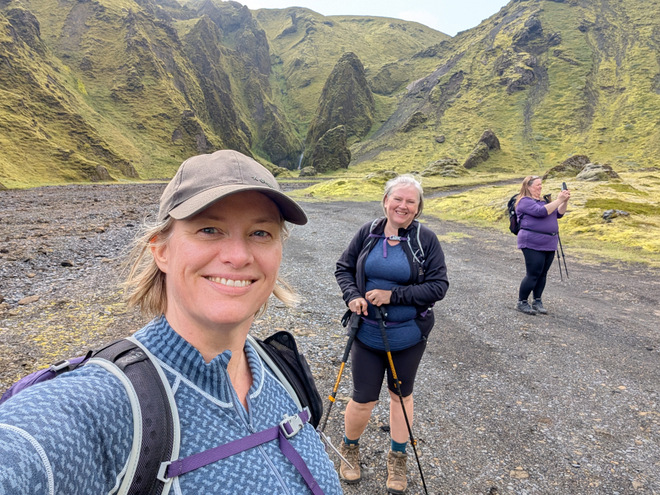
Photos really don’t do this place justice. It’s just weirdly beautiful. We still tried to capture a little bit of the magic.
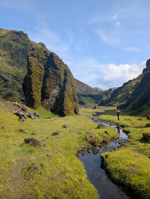
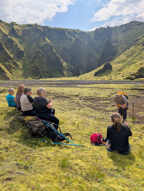
We decided to head for the visible waterfall, and sit down to eat a bit.
It was weirdly silent there, mostly due to the complete absence of birds.
It was a pretty waterfall.
Loooovely!
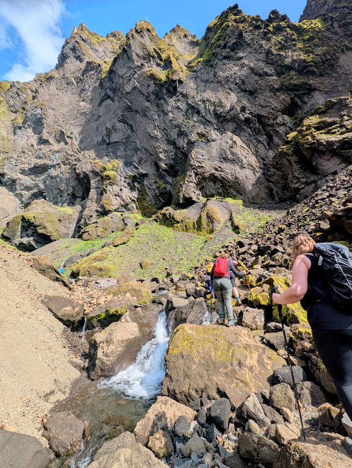
By 13:30 we were moving again. One could see the rock-falls from the canyon-walls.
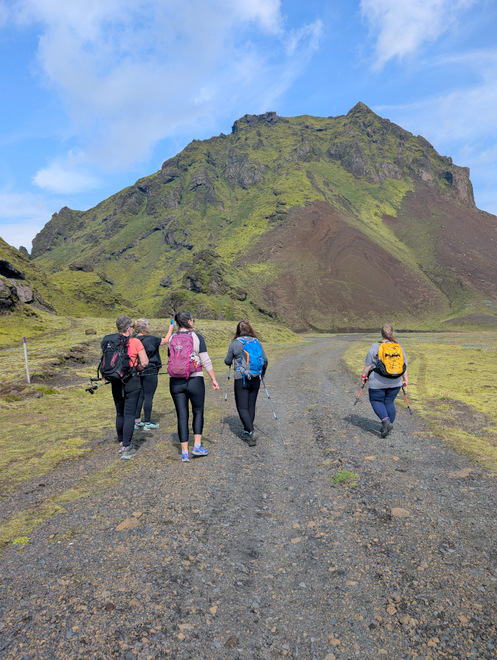
Onwards and upwards.
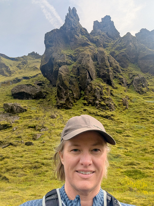
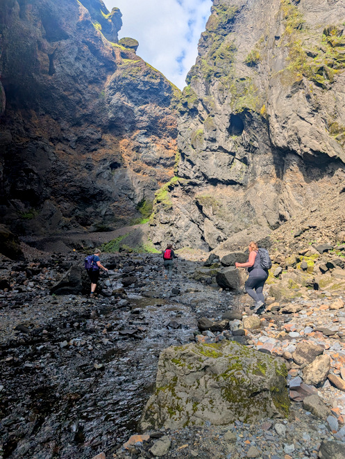
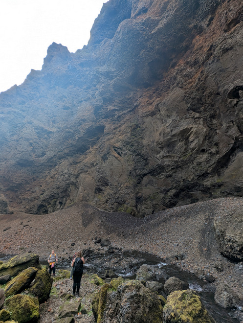
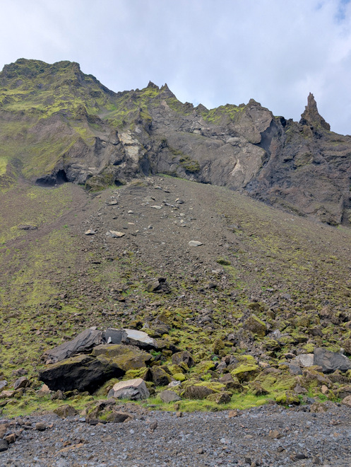
Jagged edges everywhere.
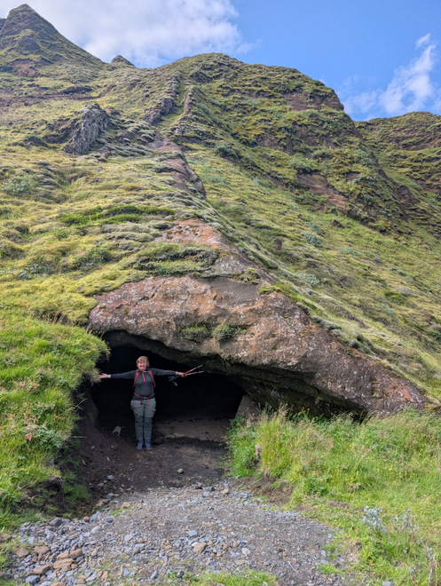
A quick side-quest to look inside a cave. I keep underestimating how big they are compared to humans.
A sign of life!
Erm… That happened recently enough that the path is still very clean underneath the rocks, and there is just an inkling of a new path past these.
The greenery level drops the further in you go.
Remembering to look back, once in a while.
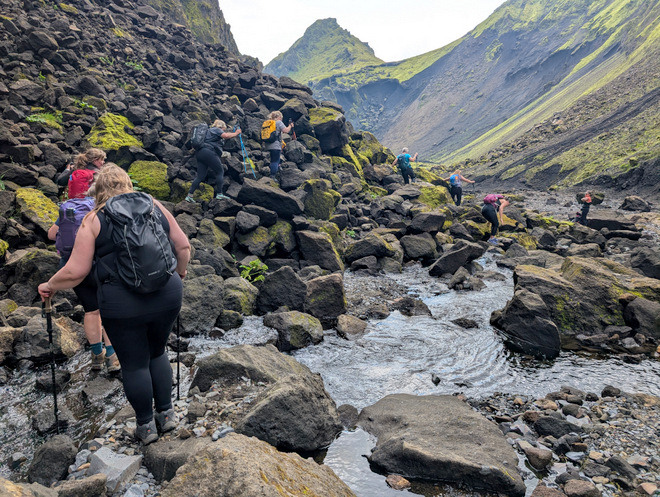
There was a bit of clambering involved, but we got up there unscathed.
The canyon getting quite canyon-y!
Slowly does it.
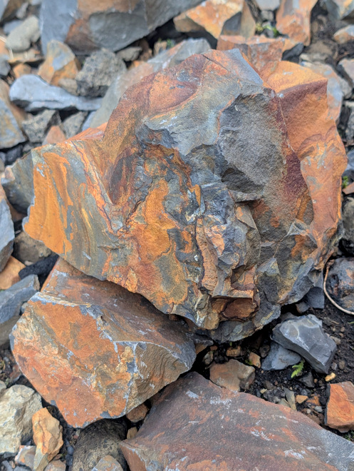
Rusty rocks.
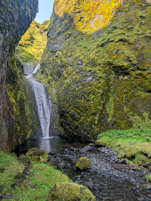
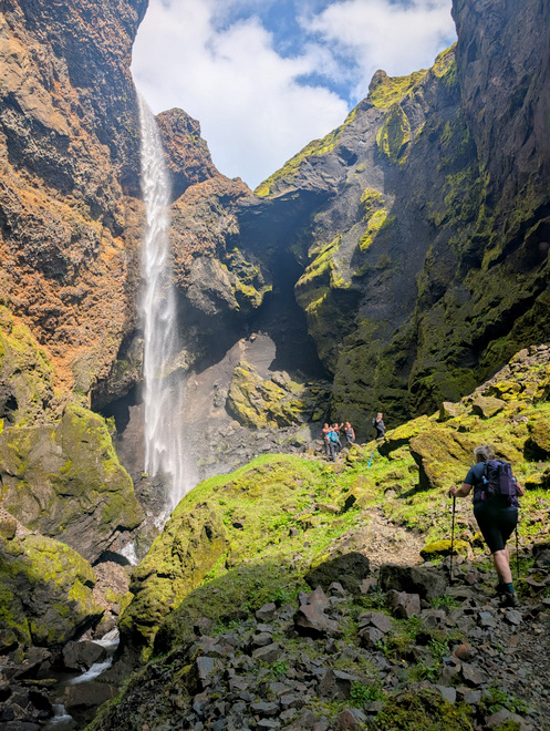
We found the waterfall!! (This is at 14)
The overhang above was a bit ominous, but no rocks fell. It was impossible to photograph.
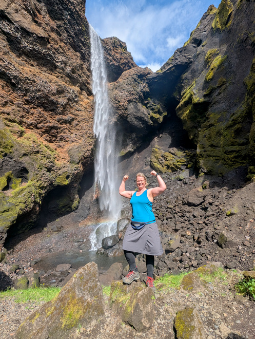
Not a bad showing for a middle-aged, overweight, perimenopausal 48-year old! (…and I’m pretty sure I’m the youngest of the group…!)
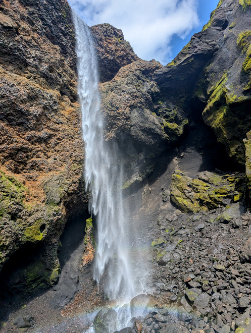
This waterfall is mesmerizing.
After oooh-ing and ahh-ing for as long as we needed, we started heading back.
How is a person supposed to make any kind of progress when one keeps stopping to oooh, and aah and take photos?!?!
Clambering…
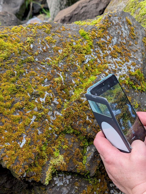
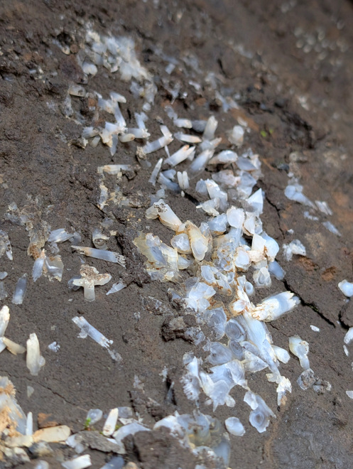
An interesting stone spotted.
Crystals!
All the jagged edges. Zero birds.
A quick rest as too many of us were busy taking photos.
Really??!
Like bad CGI in a movie!
If you look closely you can see a path snake down the near-vertical drop on the left there. This is probably the old path between the canyons, but apparently they’ve stopped maintaining that side. It looked mildly suicidal, at the very least probably done on hands and knees. The photos doesn’t do the slope justice. (There may be another path there on the far right side?)
Approaching the entry-point.
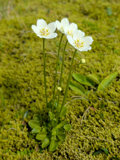
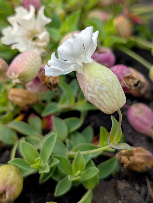
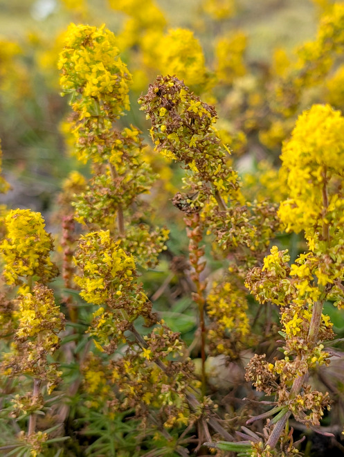
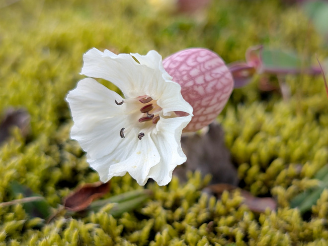
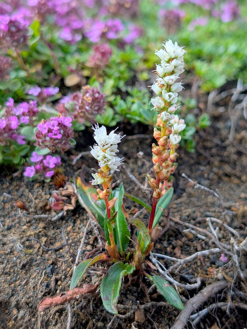
Side-view of a weird flower.
It was almost 15, and time to refuel a little bit.
It started getting little bit chillier, so we added a layer.
If we’d been less tired, we might have attempted the right fork of the pink-route, but it promised a bit of a climb, and we still had to make it all the way back to our starting point. Next time!
More vegitation.
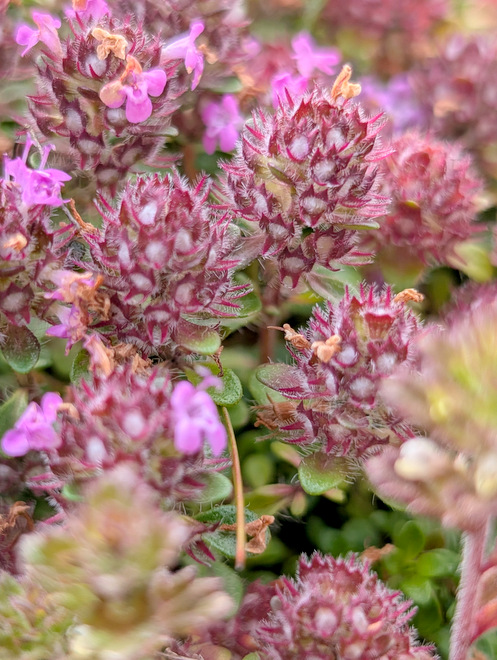
A close-up of the weird flower.
More excitement.
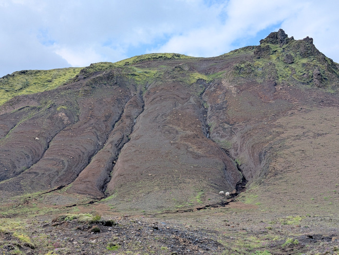
Some more sheep, eating what little greenery was there.
We reached the blue P parking lot at 15:15.
More hardy flowers.
We weren’t in a hurry to get back, so we stopped a few times to pick a few berries.
Nice and juicy!
About to round the corner back to Þakgil.
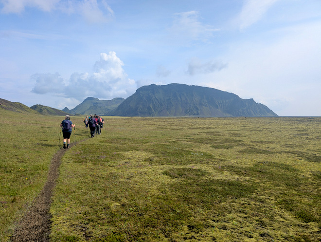
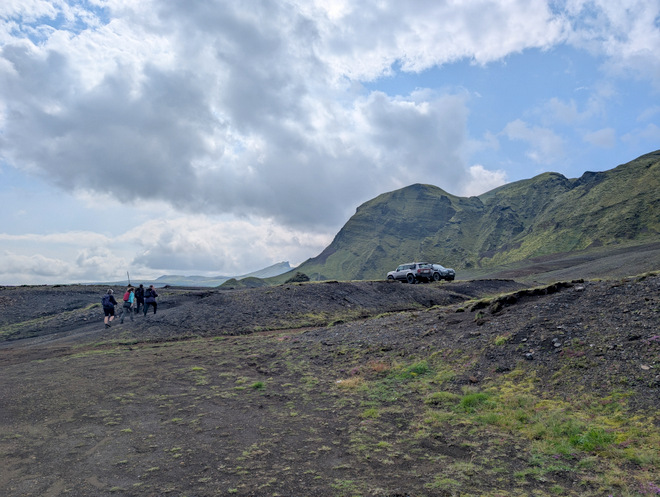
Back on the car-road.
Getting all the way into Þakgil takes a deceptively long time.
Our cave-side-quest-queen went to investigate a cave right by the camp-site and…
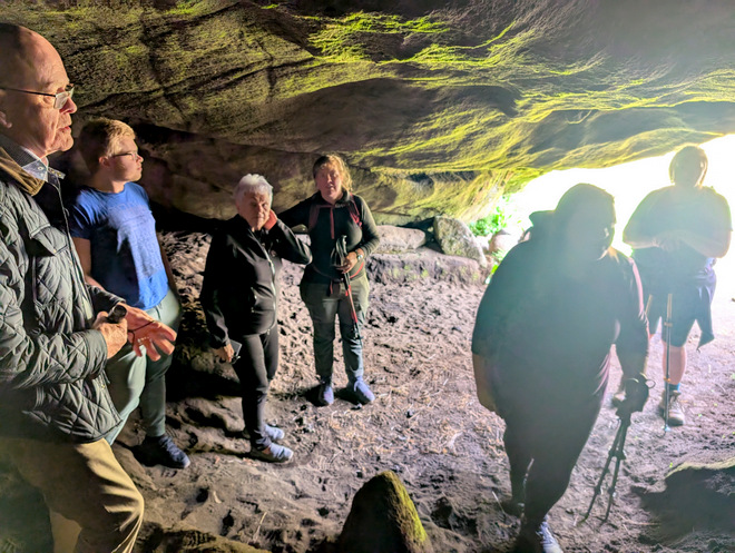
… found people she knew inside!! Iceland is so tiny.
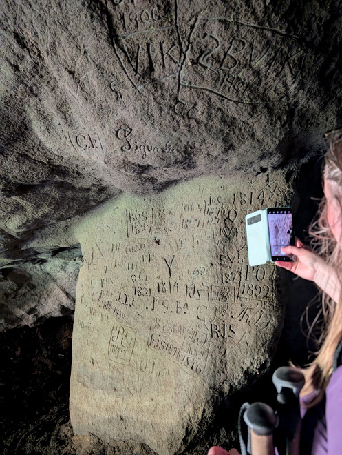
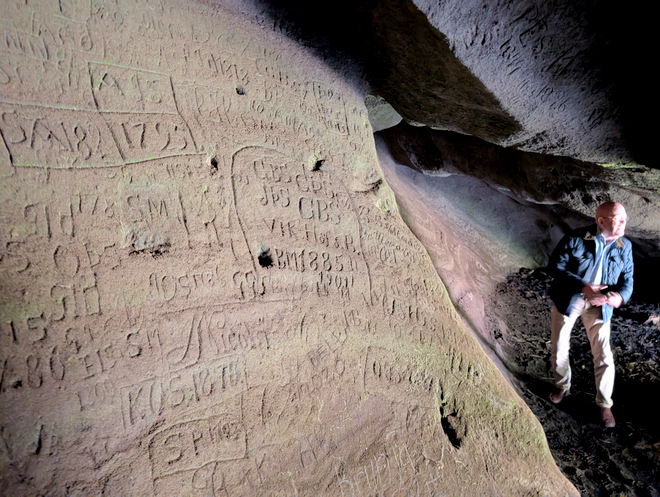
The cave was really cool. It was covered in “graffiti” from hundreds of years ago!
1725!
Rounding the corner into the campsite at 16:10.
I remembered the cool little walk up from the camp-site (the red route) from last time, so myself and one other went on a little mini-hike. It’s about 1 km in total.
A perfect spot to photoshop in the Eye of Sauron!
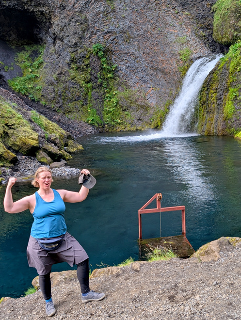
Flexing in front of waterfalls is apparently “my thing” now.
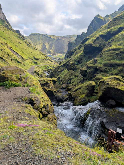
The view back down to the camping site.
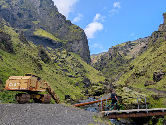
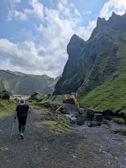
I wonder how long that excavator has been there, and if it still works?
Ahhh, civilization!
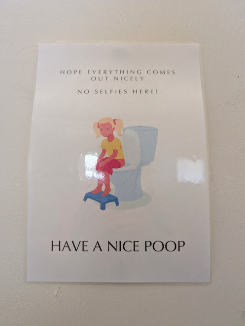
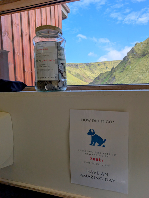
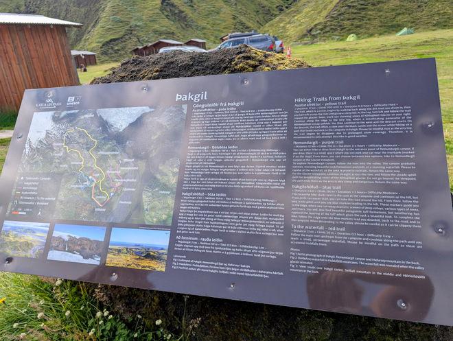
More fun signage.
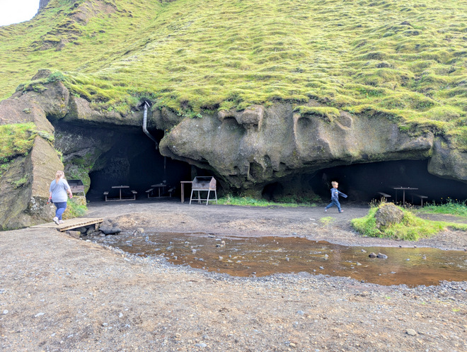
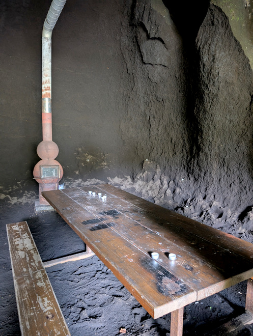
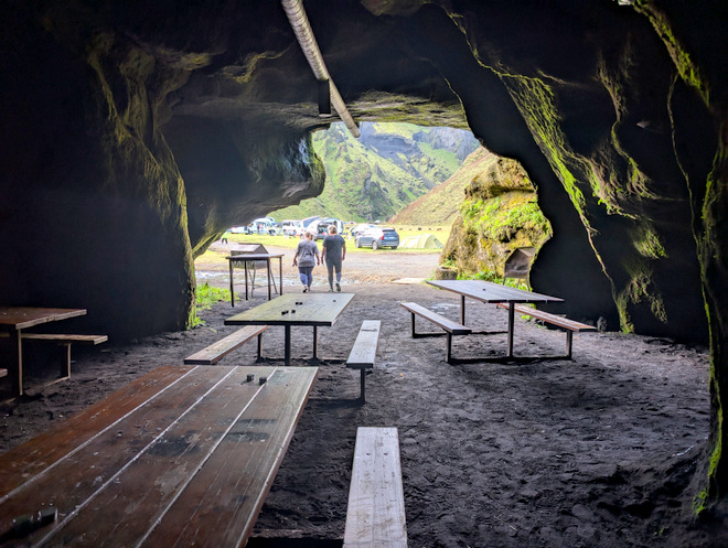
A few of us went to check out the dining-cave.
It’s got a stove!
Nice view!
There’s a path up there…
Goodbye info-sign!
At 17 we started our journey back to Vík. The sheep tried to avoid us, and we them.
Silly pretty.
Goodbye crazy rocks!
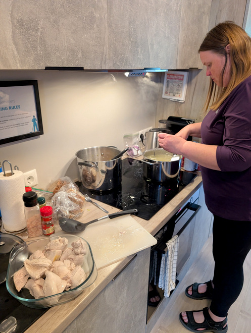
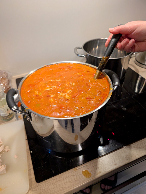
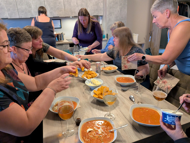
Some people have more stamina than others… I mostly wanted to crawl right into bed, but others went right to cooking Mexican chicken soup!
The pot nearly overflow-eth!
So lovely!
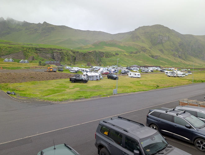
Outside the apartment, the camp-site had gotten a lot more busy.
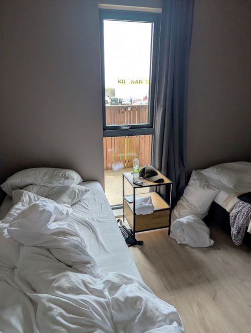
My very tempting bed…
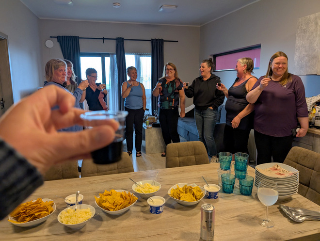
Cheers!!
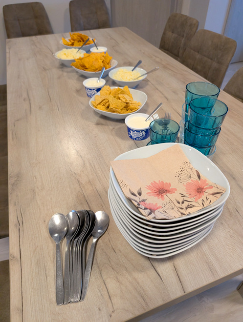
What a fantastic feast!!
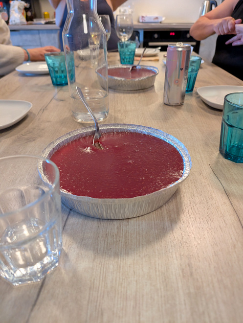
Cheese-cake for dessert. We may have attempted to play a game or two, but we were all tired, and we soon went to bed.