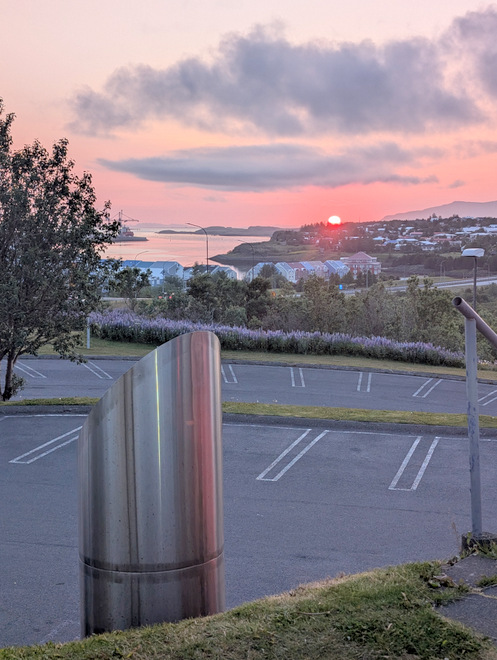
[Photos taken 12 June 2025, posted online 14 May 2026. The weather so far is staying “typical” for May, bright window-weather days (beautiful but very chilly), interspersed with rainy/cloudy milder days.]
My hiking group gathered after work to hike up Móskarðshnúkar (“brownish-grey-pass-peaks”), the Eastern-most part of Mount Esja easily visible from the capital area, one of the very few hikes on my “bucket list”. It’s a 2-3 (?) surprisingly lightly colored triangular peaks on top of a regularly colored base, often shrouded in clouds. Everytime I see them I now say to myself “I’ve been up there!”.
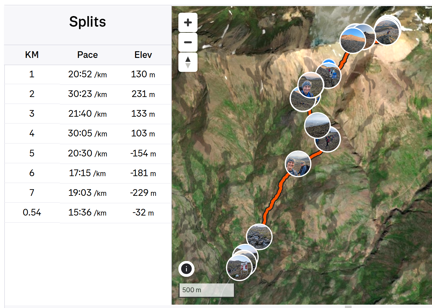
This hike was speed-controlled by the guide who is a physical therapist, and she kept the pace very slow and steady, which was great since it’s just up, up, and up. She also gave me the best technical hiking pointer I’ve ever gotten: it’s actually your back leg that should be doing all the work lifting you upwards. Take short steps, and use your rear-leg butt, back of leg, toes to lift yourself, so the front of the forward-foot thigh doesn’t have to do much except hold steady. This saves the front of the thighs for the descent.
Lo and behold, this was the first time ever that I wasn’t the last one off the mountain, since I still had some juice left in the front of the thighs! Totally blew my mind!
Thursday 12 June 2025
At the top of one of the Móskarðshnúkar! I made it! Bucket list item checked off!!
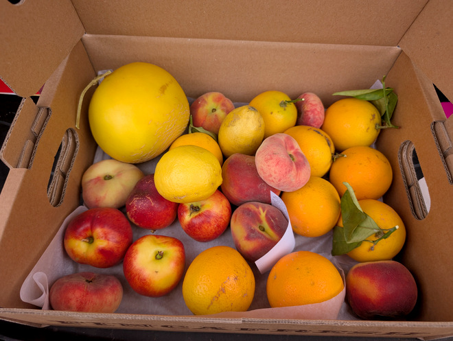
After work, I picked up some fancy fresh fruits, yay!
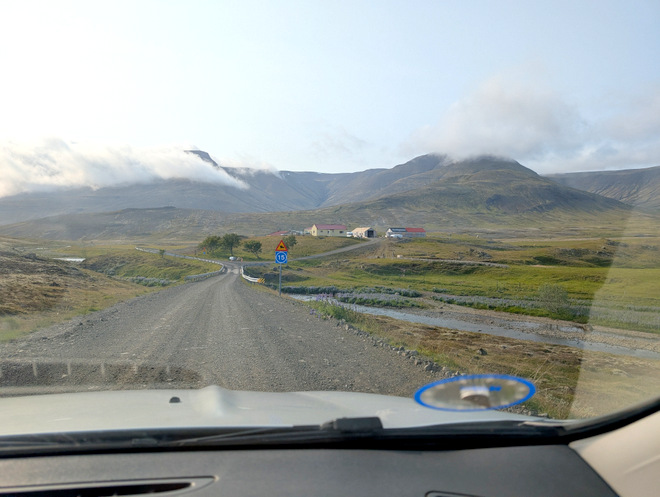
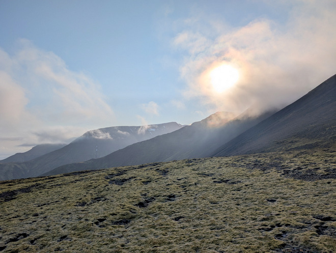
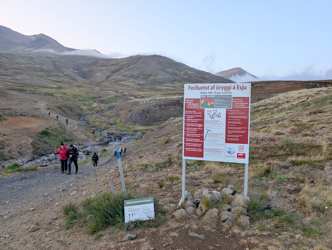
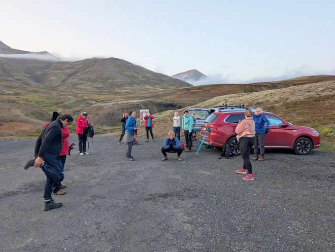
Driving to the starting hike-point at 18:20. The peaks were shrouded in clouds, but there was quite a bit of blue sky around, so, we crossed fingers and toes for the clouds to clear.
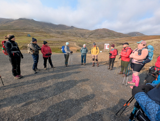
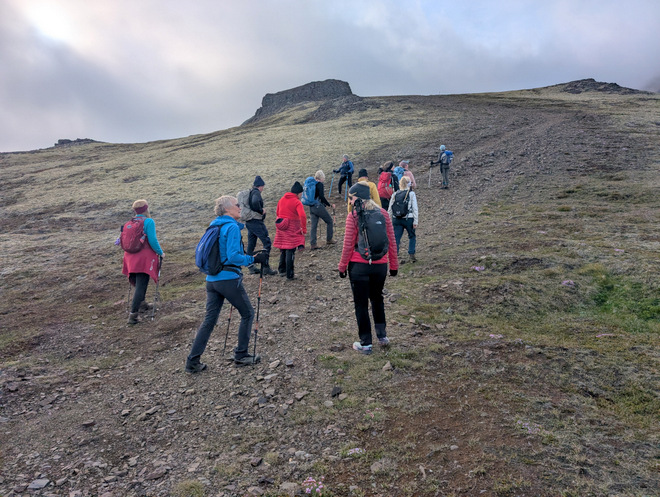
About to set out at 18:36. The peaks were still hidden in the clouds.
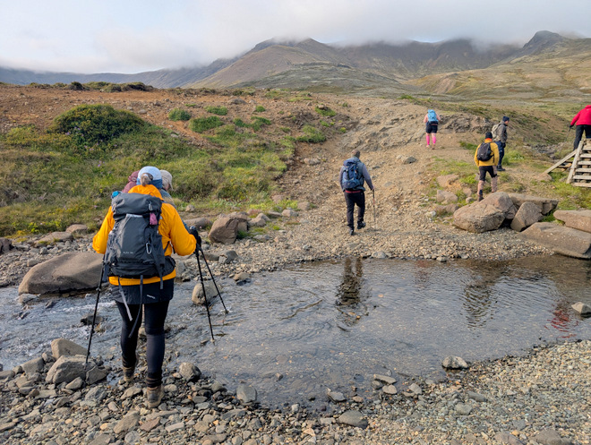
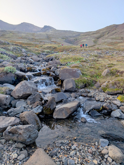
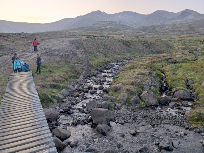
The stream was fordable, but some took the bridge on the right.
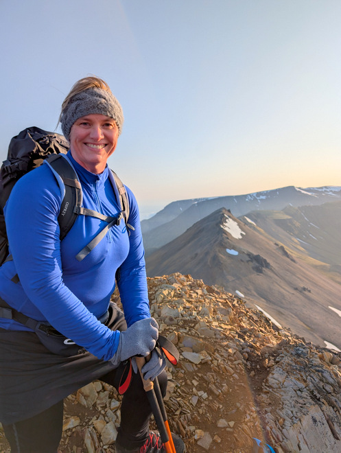
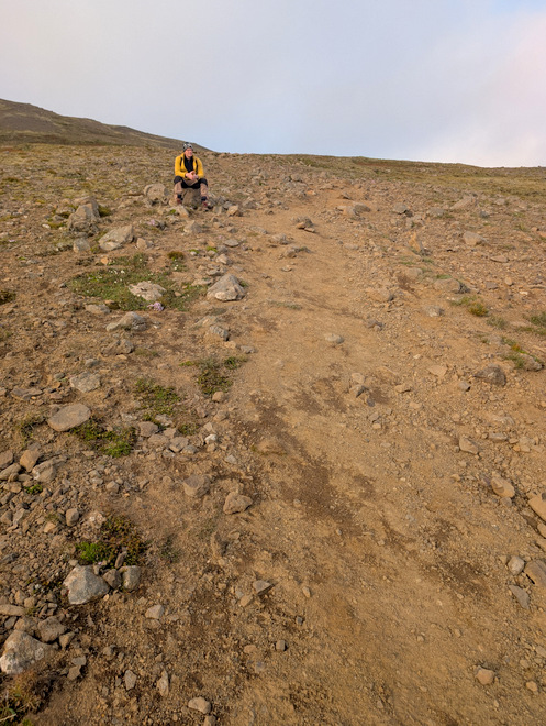
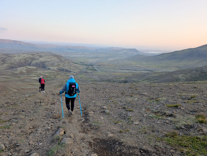
My loony self at 19:14.
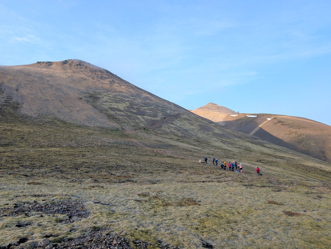
Enjoying the view at 19:32. The path is mostly just like that, non-offensive.
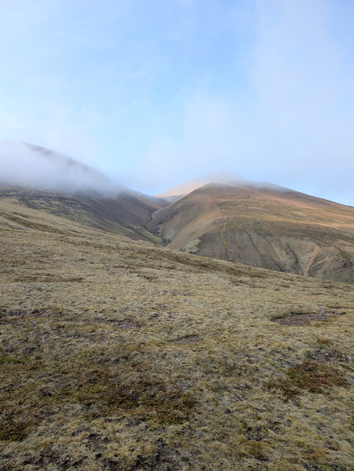
Up and to the right, the cloud surrounding the peak seemed to be thinning at 19:47…
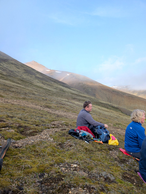
Approaching the designated snack stop, it’s just beyond that “fat pillar” up on the hill, at 19:47.
Two minutes later, the peak seemed to shake off the cloud!
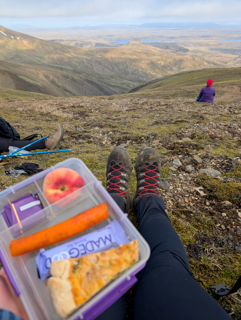
Snack time at 20:03 with a view! Homemade quiche is an excellent hiking food!
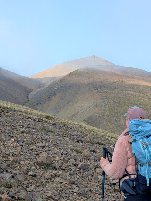
Eyeing the still-cloud-free peak at 20:05. It’s got a weird protrusion there at the “base”.
I snuck off a bit to answer the call of nature (aka go pee) and the view along the range was lovely.
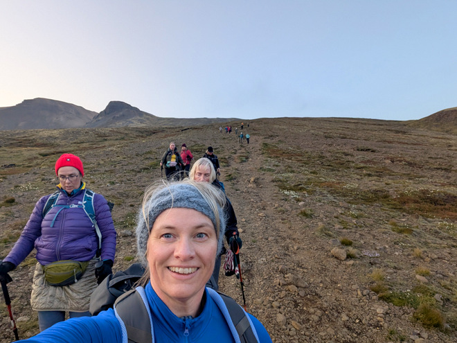
The group getting ready to keep going at 20:20. The peak was still cloud free!!
Back on the path at 20:35.
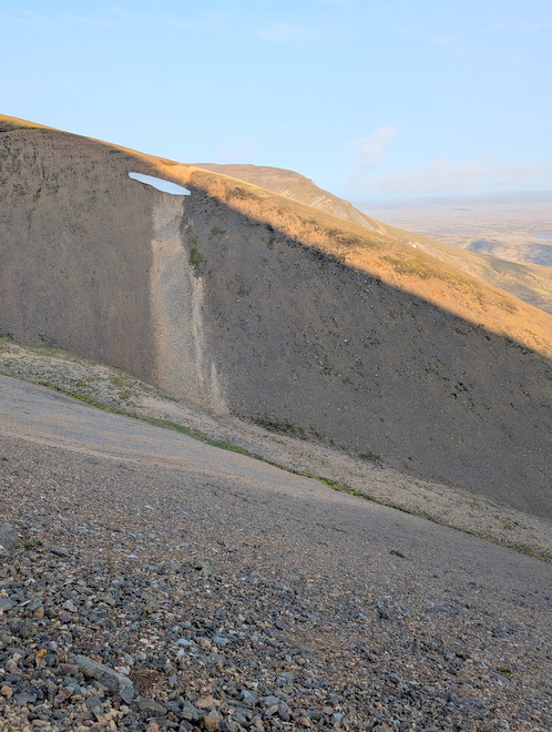
I initially thought that light streak was a trick of the light, but it’s a trick of the rocks at 20:39. Maybe it was related to the patch of snow, but it appears to start above that?
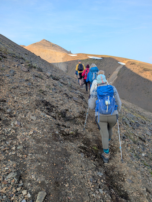
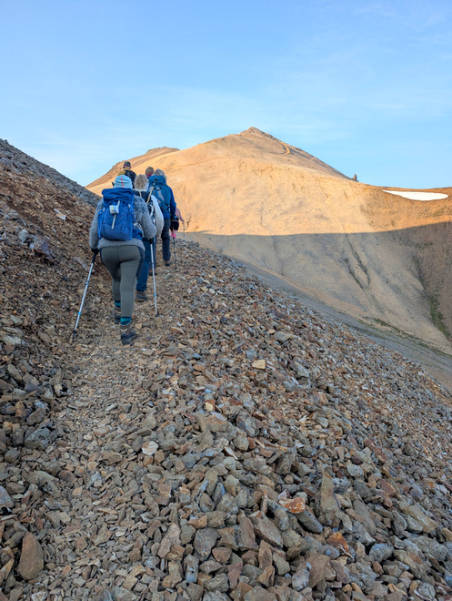
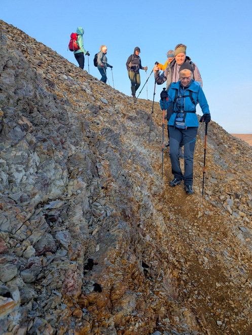
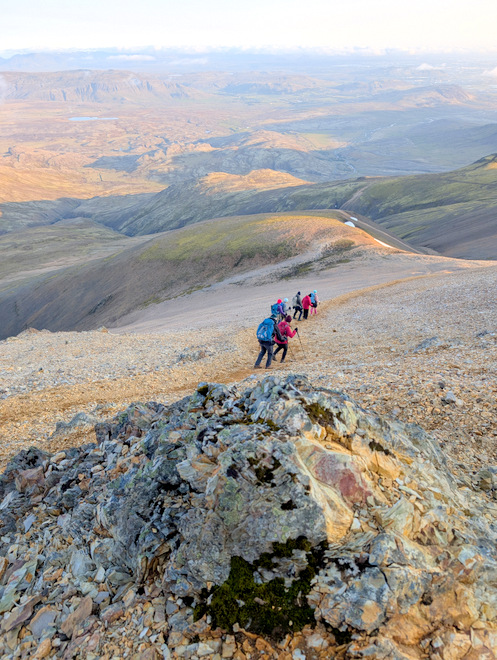
Suddenly, the ground stopped being ground, and became nothing but rocks. This path is so well traveled that the small sharp rocks make a very solid path (at 20:40).
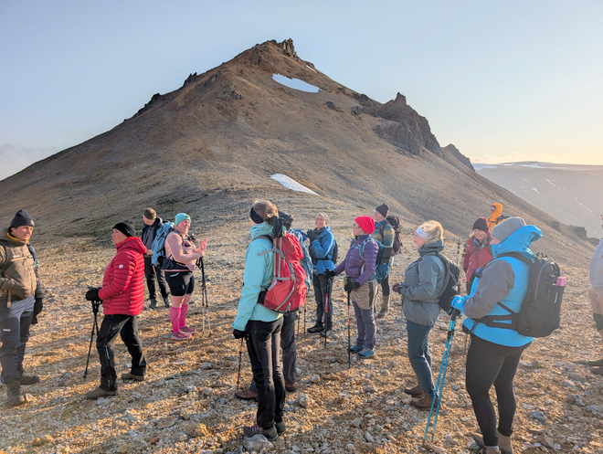
We arrived at the “pass” part of the peaks at 20:45. There was quite a bit of wind coming over it from the other side.
Looking back from where we’d come.
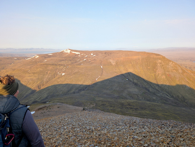
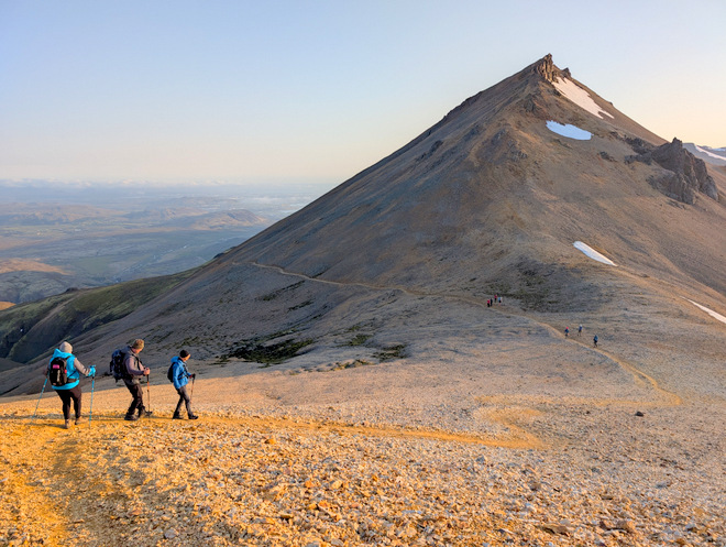
The other side of the pass. I think that’s technically Mr. Esja on the left, it’s a very large mountain area-wise.
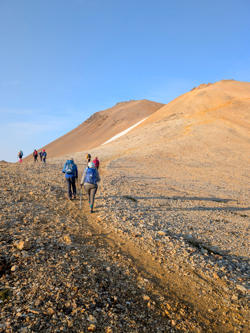
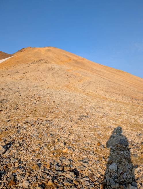
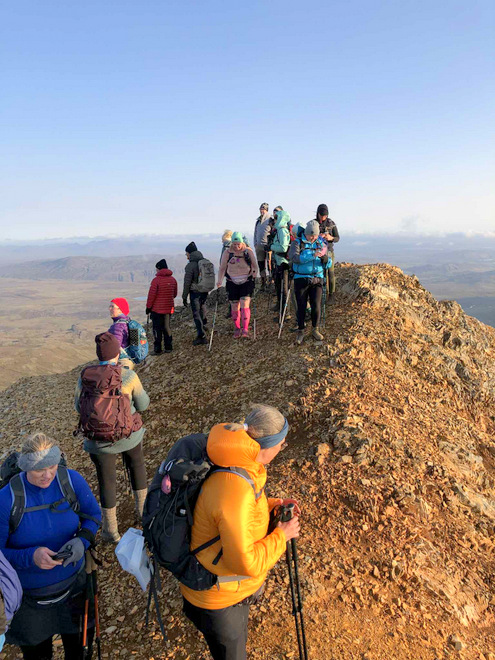
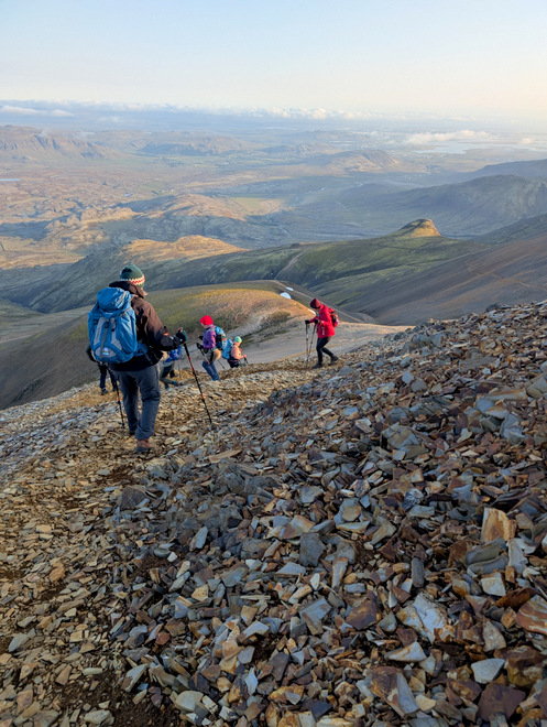
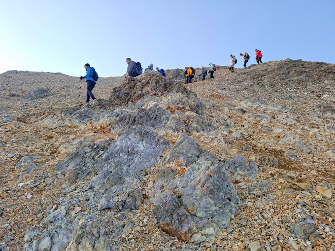
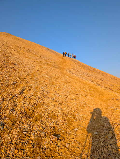
Where we were going at 20:49, notice the snake-like path.
Where we were not going at 20:49. Our guide had once gone up there, but didn’t recommend it, the path is apparently perilous.
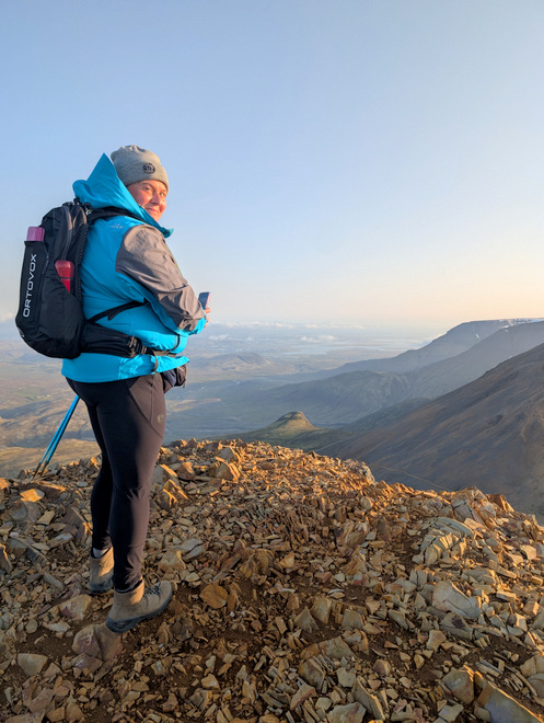
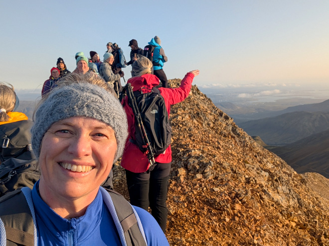
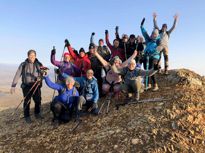
At the top at 21:07! It was a bit windy but not terribly so.
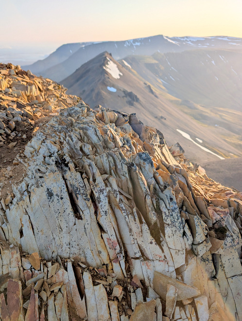
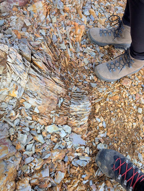
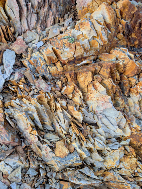
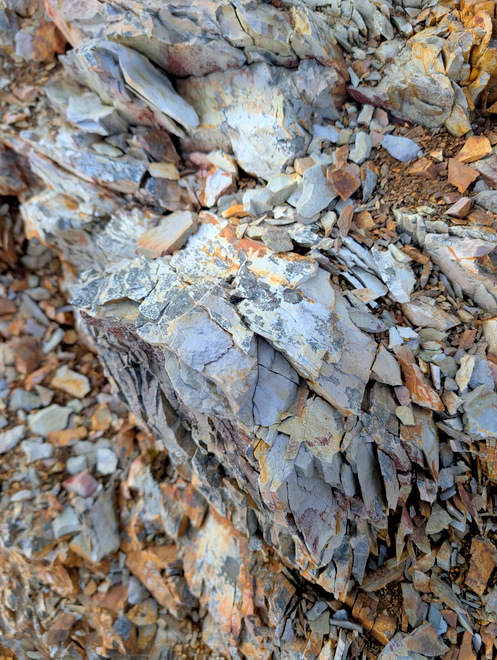
The rocks up there are something else! It’s all flaky light-to-orange-to-brown-colored stones.
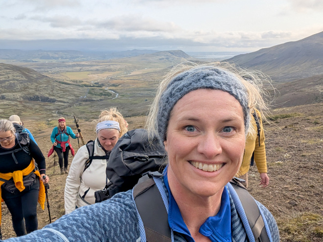
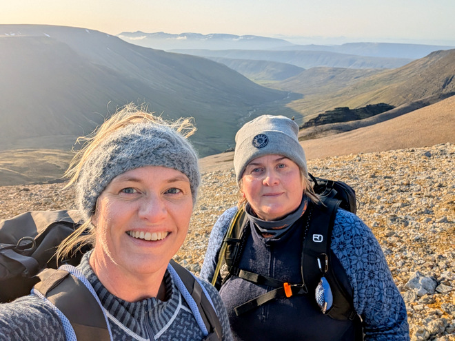
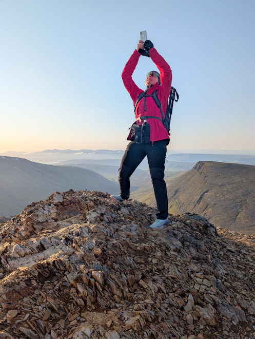
Selfie time! (Please don’t fall, at 21:12!)
Got this photo from another group member. That peak is not large in area!
The path is seemingly entirely comprised of rocks.
Hiking poles highly recommended at 21:22.
We stopped at one point to take photos of the gorgeous colors.
That’s got to be rust of some kind?
I borrowed this photo, you can see myself and my friend behind the big rock, taking photos.
Kind of reminded me of a rose.
A few protrusions dot the way at 21:24.
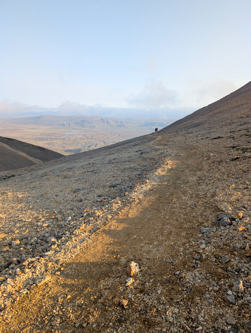
Looking back up at 21:35. This was a “slow and steady does it” descent.
Almost at the pass between the peaks at 21:36. The weather was amazing.
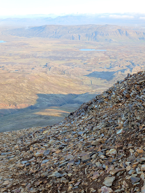
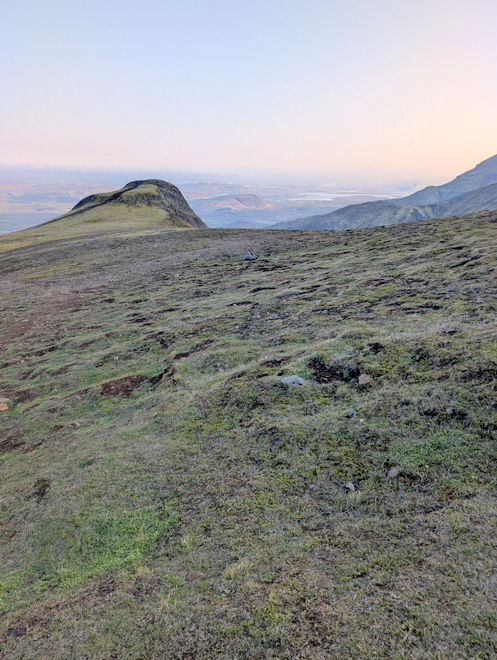
By 21:54 we’d made it down to where we’d snacked on the way up, and stopped to gather the group into one whole again. The capital area is down there in the haze.
Still going down, down, down at 22:31.
Happy to still have functioning thigh-muscles at 22:31.
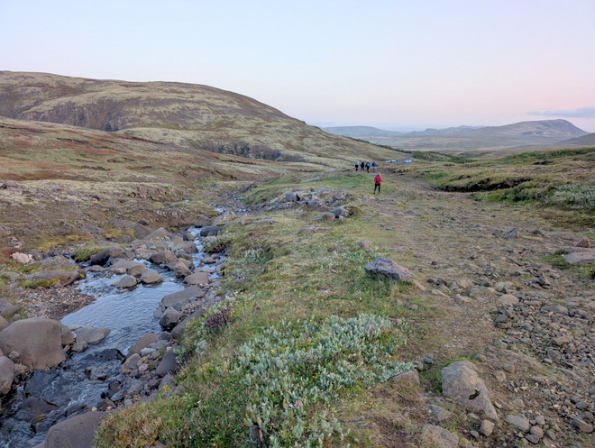
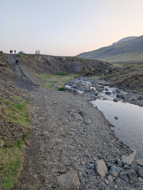
By 22:51 we’d reached the stream again. The peaks were still cloud-less.
The parking lot getting closer at 22:51
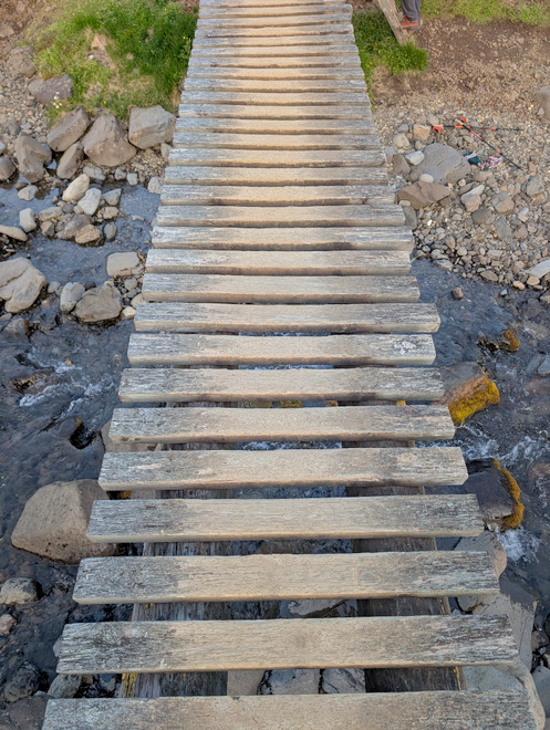
This time I took the bridge over the stream at 22:57.
So did others.
The parking lot was up that hill at 22:58.
Surprisingly, I was not dead-last off the mountain like usual, at 23:00! The peak was still cloudless, but they’d started arriving… We’d gotten so lucky!
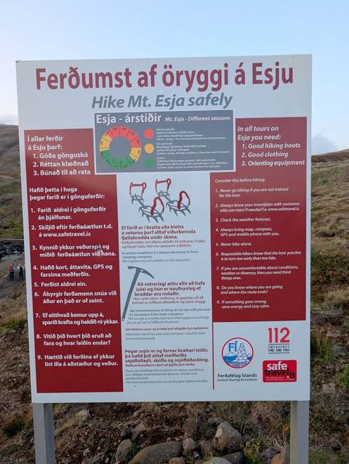
Mt. Esja is a popular hiking place, but sadly, every now and again, people die hiking there. Be safe all!