[Photos taken 25 July 2025, posted online 04 July 2026. Yes, I’m basically a whole year behind myself, but this time around I’m ok with it. Maturity is me? Also, this year’s ladies trip is coming up soon!! ]
Few things are as wonderful as when a group of people organize an activity, invite me along to enjoy the fruits of their labor, and the only expectations are shared costs, a positive demeanor, minimal complaining, and doing the dishes!
Yes, it was time for the third outing of “The Tens”, a group of ten ladies that are connected around a core of teacher-buddies. The destination was Vík í Mýrdal (“The Inlet in Swamp Valley/Mire Dale”), the southern-most village in Iceland. The big hike of the trip was in and around Þakgil (“Roof-canyon”), where I’d e-biked with my e-biking group a few years back. It’s such a pretty area that I was excited to go back.
However, finding affordable accommodation for 10 people, even a silly number of months in advance, was difficult. We ended up renting two apartments, which may have given us a potentially expensive taste for luxury, after staying in cabins the two previous years…
Friday 25 July 2025
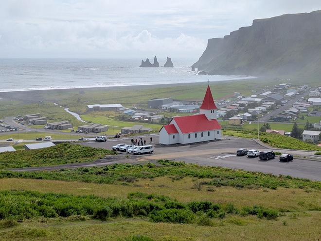
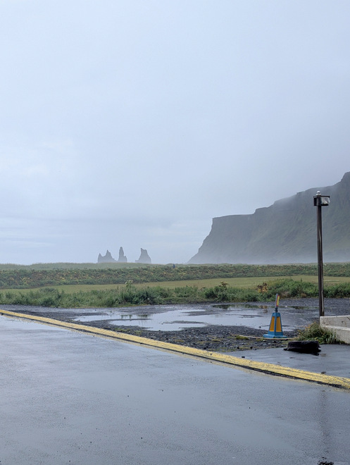
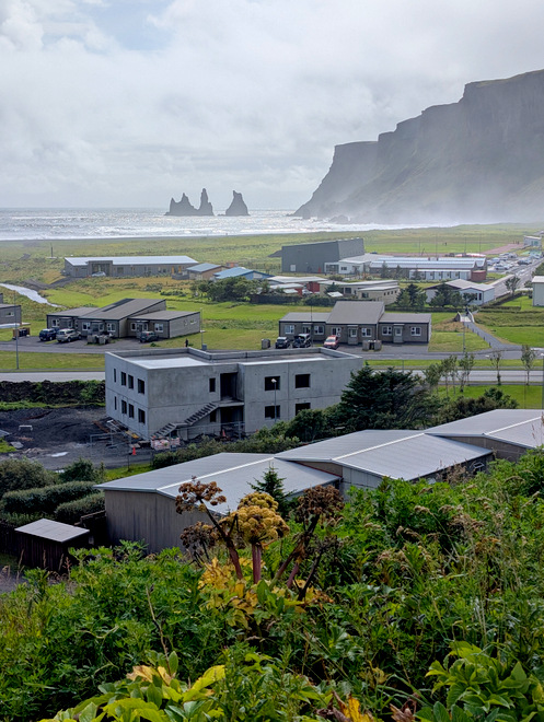
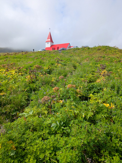
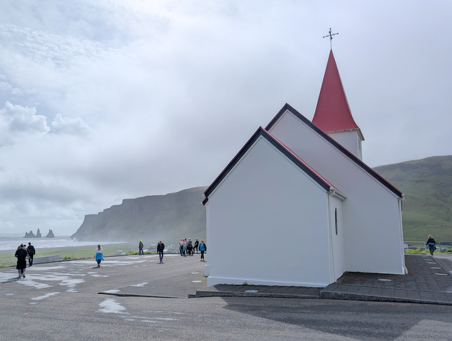
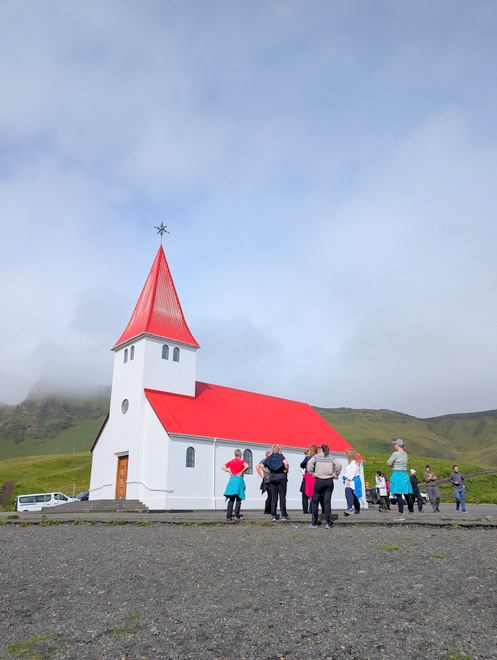
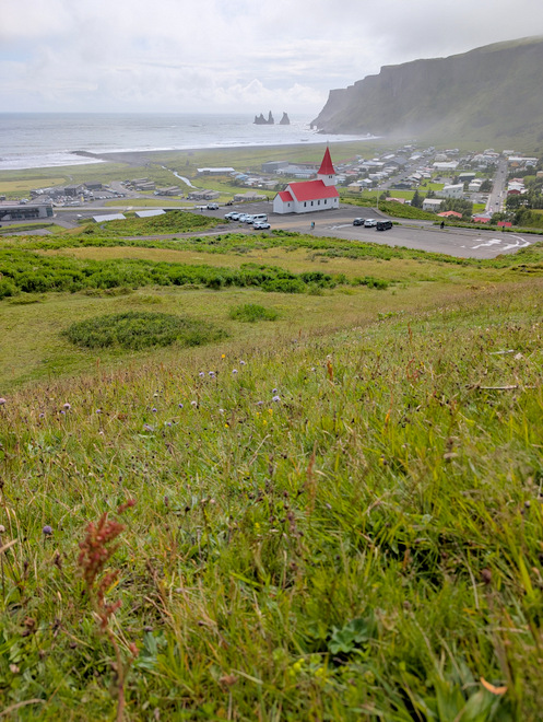
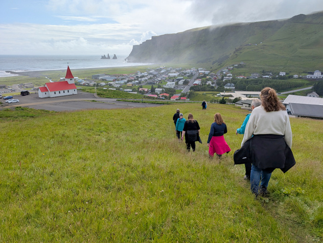
Proof we made it to Vík in Mýrdal. The iconic rocky pillars off the coast are quite the landmark, and the church really sets the scene. The official tourist stop for the rocks is actually on the other side of that mountain ridge, at Reynisfjara, where you’ll find basalt columns as well. We would visit there on the way home.
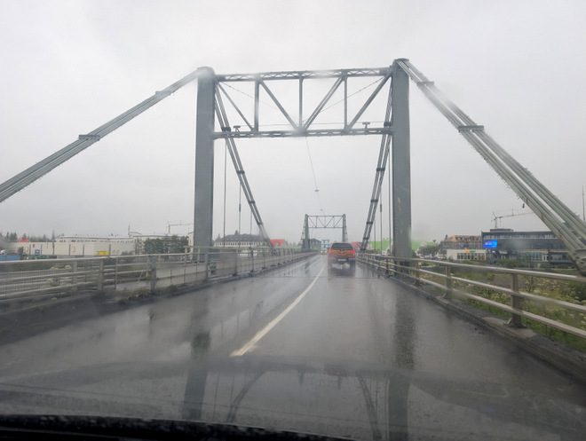
The day began with rain, as it was absolutely pouring down when we drove into Selfoss to meet up with the ladies coming from the Reykjanes peninsula.
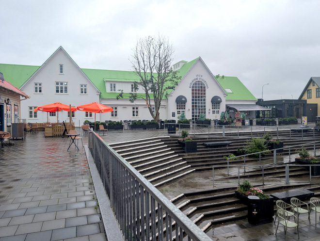
I begged my driver to stop by at the food-hall because I knew of a cafe there with a good coffee machine.
However, I forgot how darn expensive that place is, but nowadays everything is.
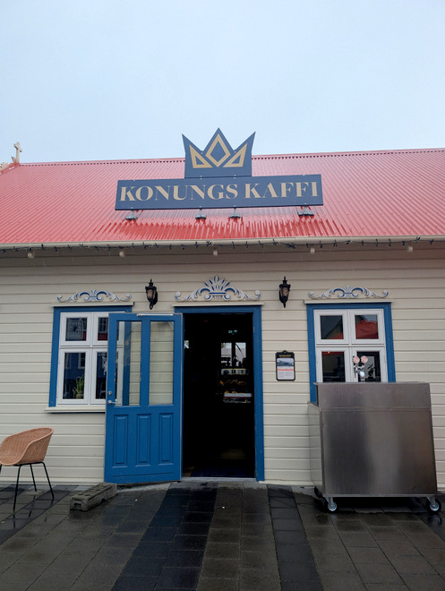
Fancy shelving, and a coffee-ed up person.
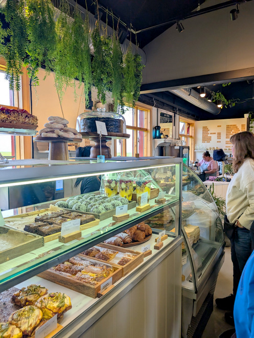
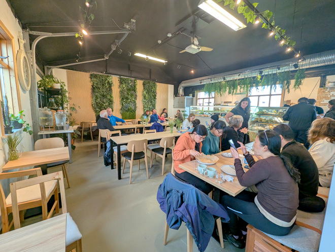
The meetup was successful, and I was surprised by the sheer size of the bakery they’d found.
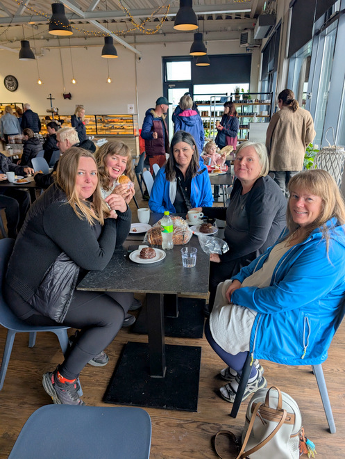
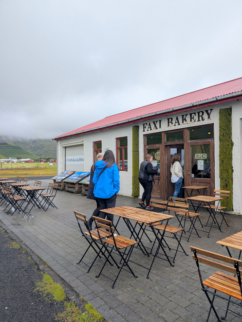
Shortly after noon we stopped to eat again, this time at Faxi Bakery Cafe, as we knew there were slim pickings ahead.
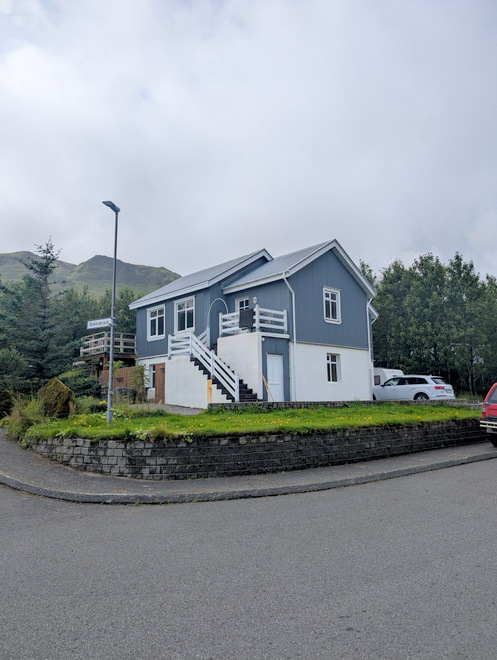
This house sits a stone’s throw away from Eyjafjallajökull, yes, the volcano/glacier that blew a few years back and stopped air-traffic for a while.
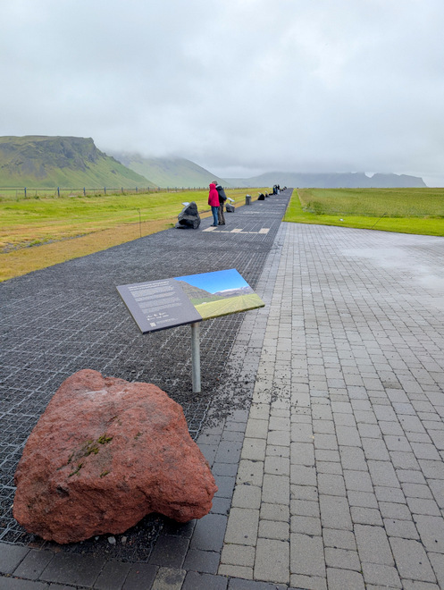
As in, this was the view from the corner of the house (essentially).
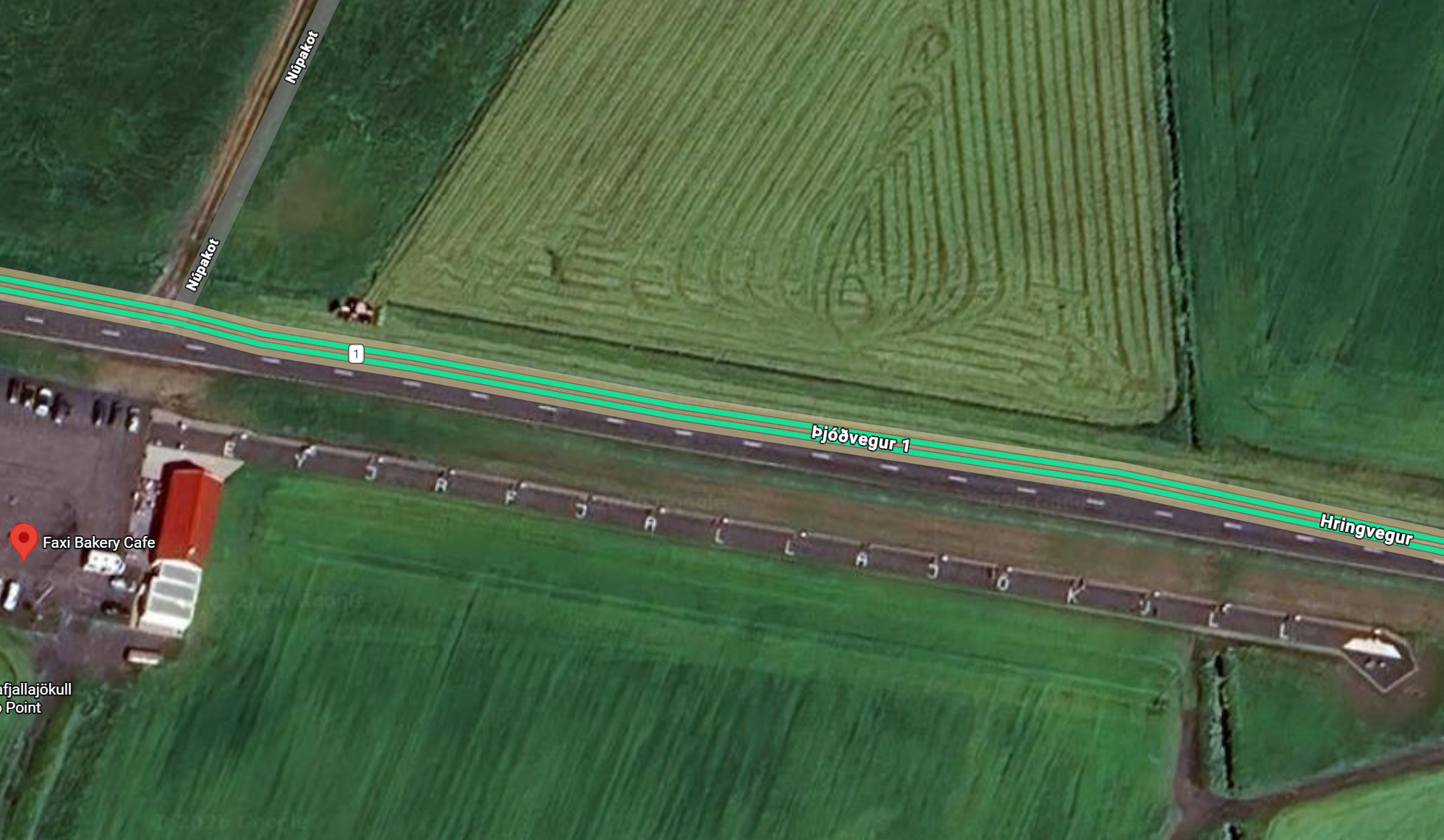
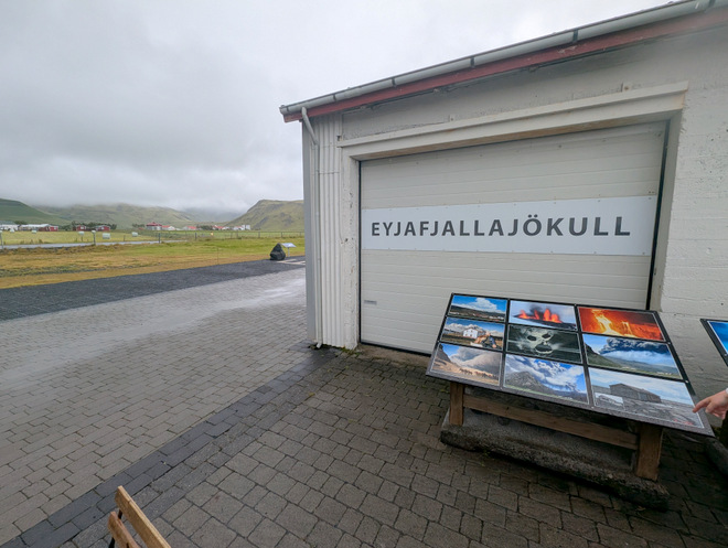
This is around said corner, long strip of walkway, where they’ve spelled out Eyjafjallajökull. However, the clouds were too low to see the glacier.
The letters are visible on the satellite maps!
This is a local operation, not a chain, and quite lovely.
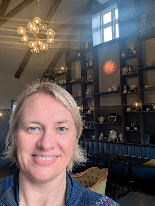
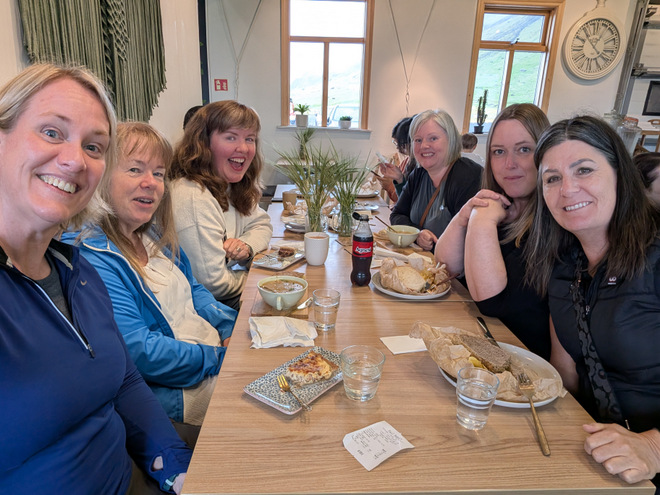
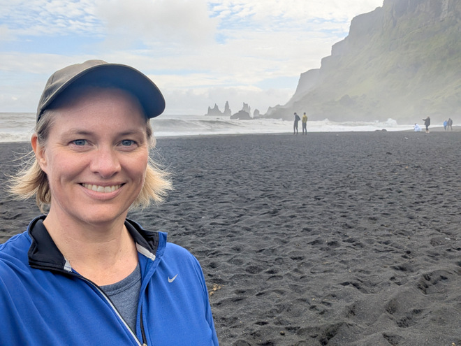
Selfie-time! The other four would be coming from the east to meet us in Vík.
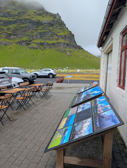
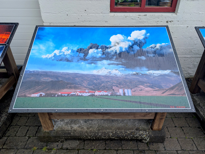
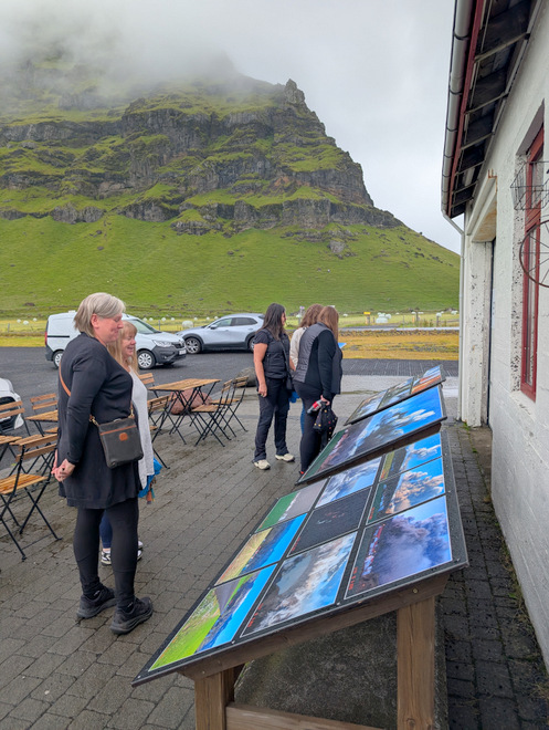
Checking out the cool photos before getting back on the road.
Those houses in the distance are the houses in the big-badda-boom explosion photo.
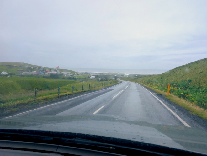
We arrived in Vík just before 14 (it’s about a 3 hour drive), and it was quite muggy.
The ocean pillars are easily visible from down low.
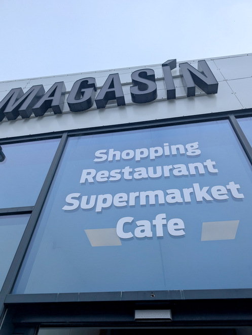
There’s a big shopping center there!
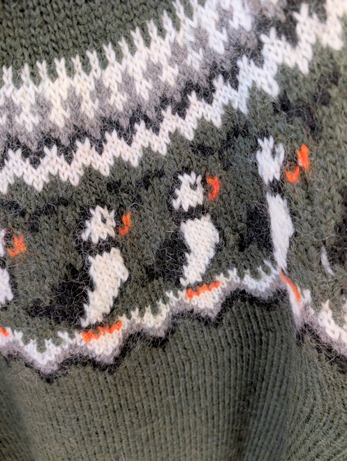
I found a puffin jumper! There is a massive Icewear brand store there.
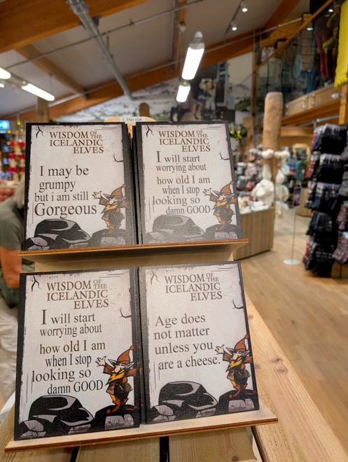
Icelandic hilarity.
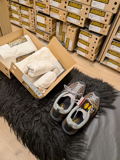
I attempted to buy new hiking shoes, but was unsuccessful.
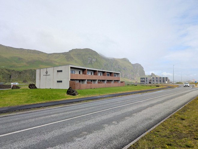
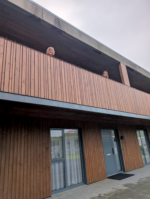
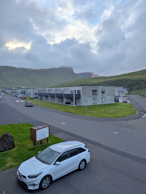
Our apartment complex was right on the other side of the shopping center.
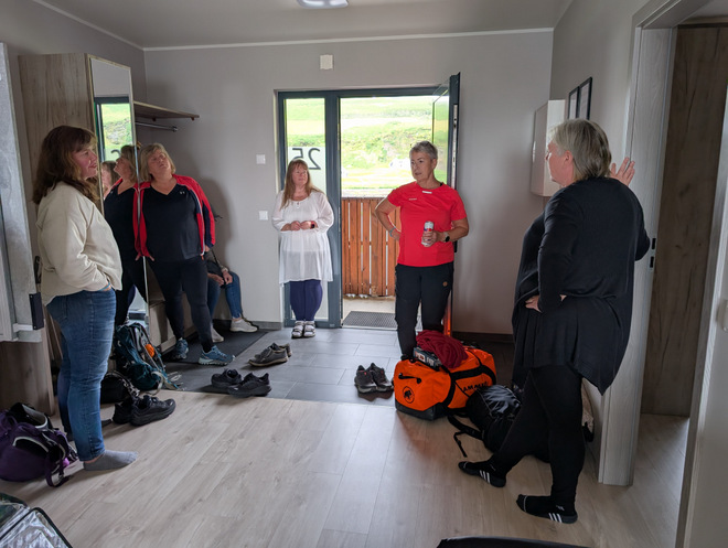
The others had also arrived!
The bedding negotiations… the most sensitive part of any group trip.
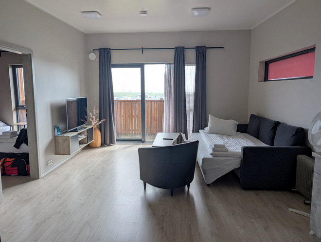
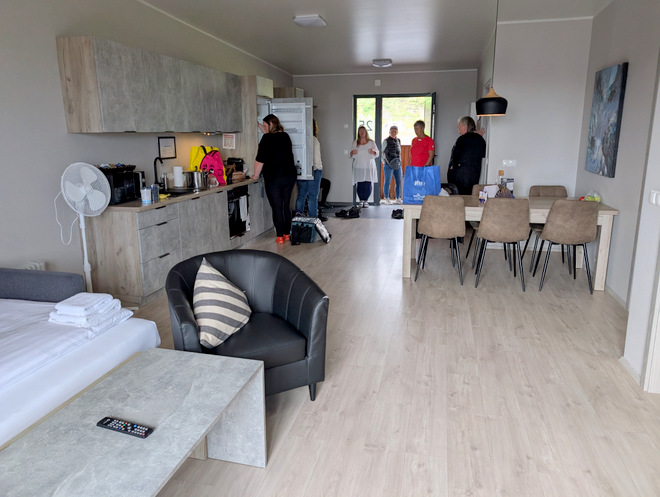
There were two bedrooms in each apartment (one with a double bed, one with two small beds) and a sleeper couch.
There was a stocked kitchen, and seating for six.
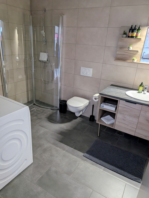
The bathroom was large, and had both a washing machine and a dryer.
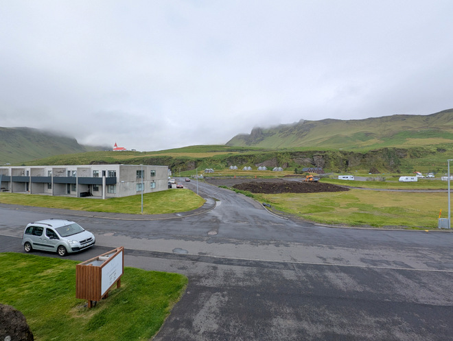
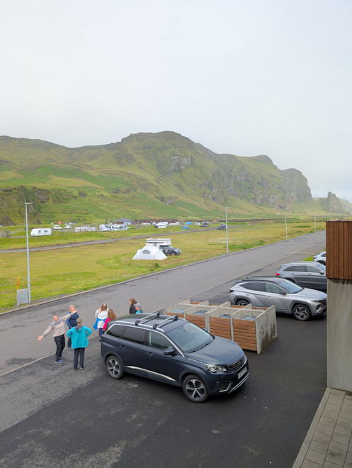
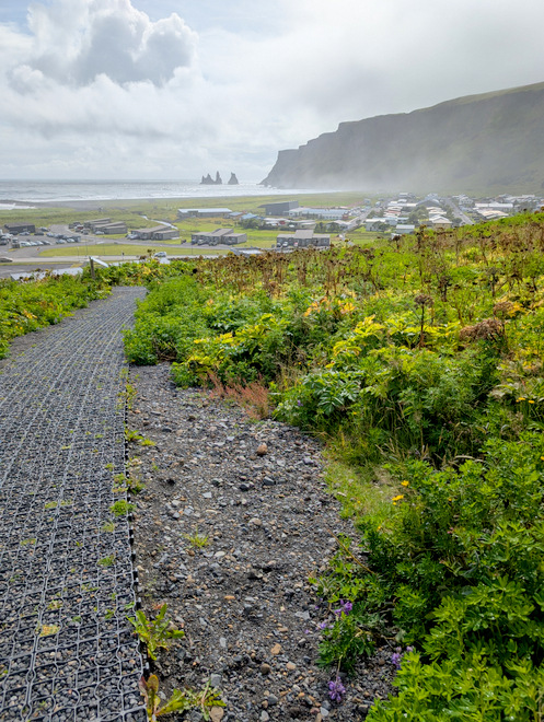
The view up the hill to the left (north-west).
The view inland to the right (north-east).
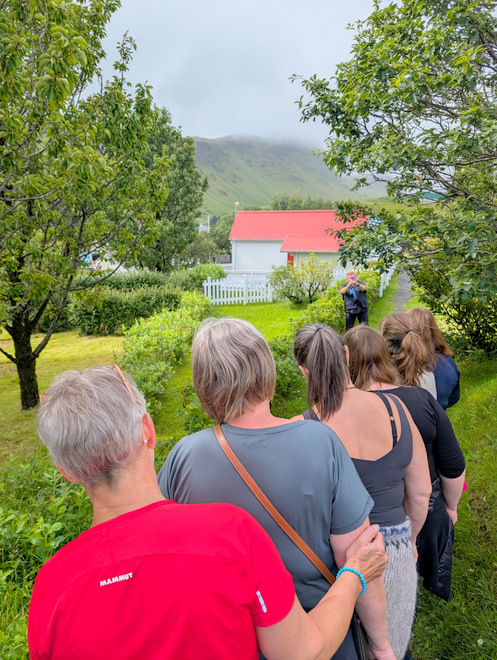
Photo being taken while walking up to the church.
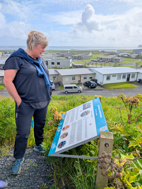
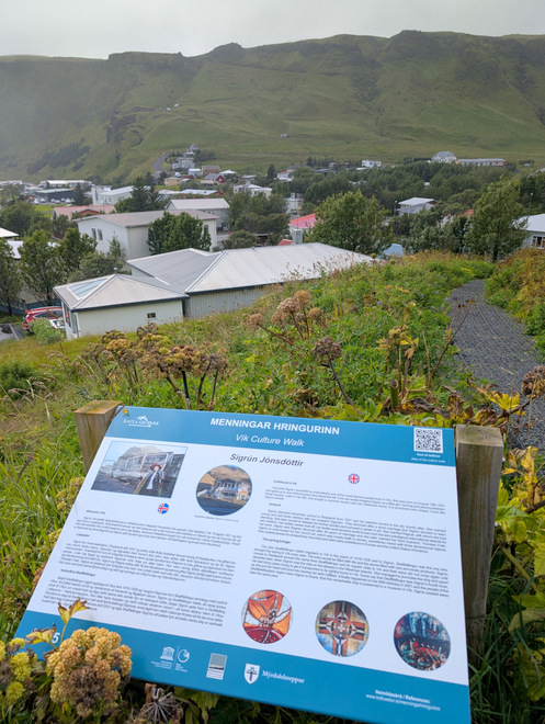
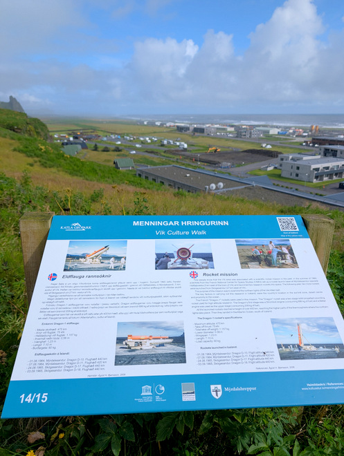
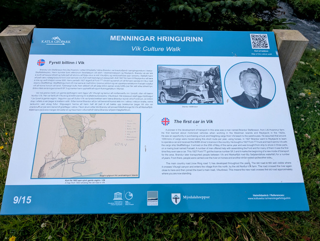
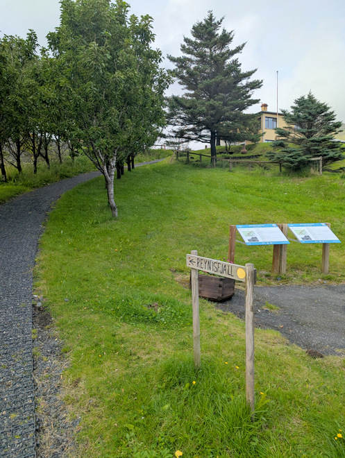
There are information signs posted on they way up the hill.
A sign with a view!
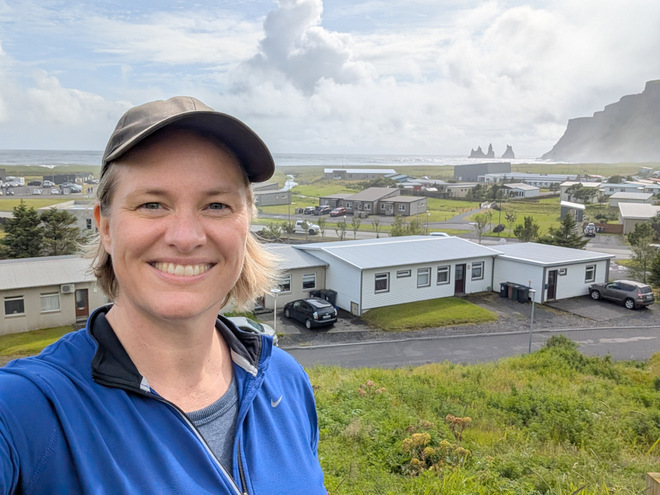
A selfie with some of the houses in the background.
The church “visible”.
Those darn rocks are such a tempting thing to take a photo of!
A sign looking east. The sea may or may not be encroaching onto the land.
More of the church…
Big kudos to whomever constructed the path up the hill, it’s a good one!
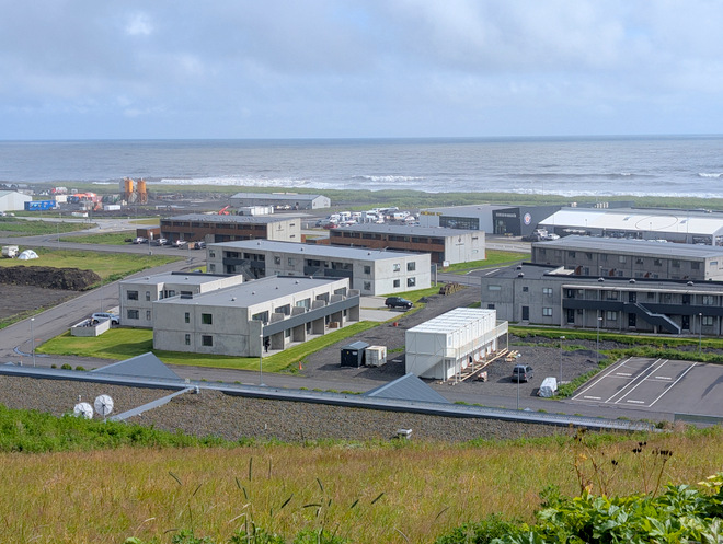
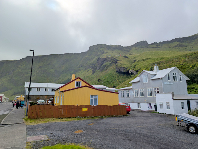
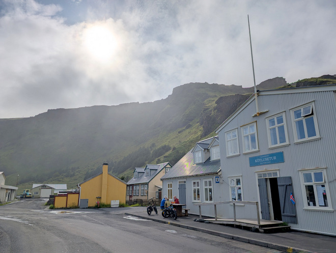
The commercial center of town. Our apartment building is there on the far left.
Made it!
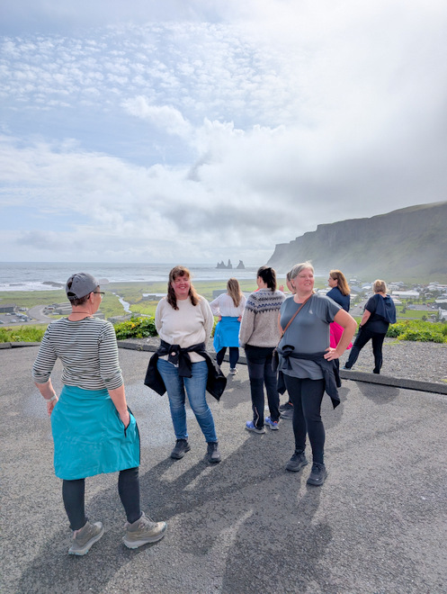
Marveling at the view!
The church was unfortunately closed. Maybe next time.
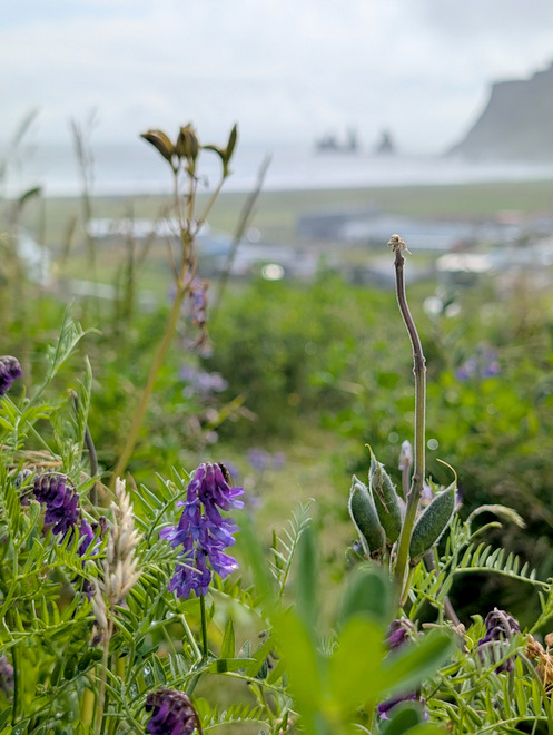
Flowers and rocks.
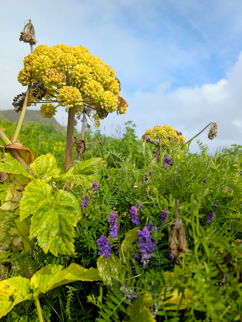
Plants in the sun.
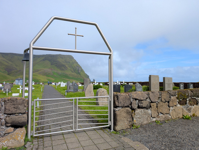
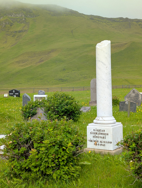
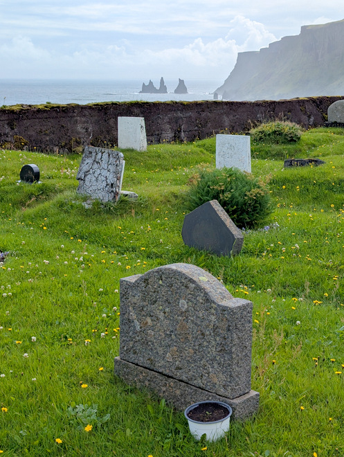
The town’s cemetery is even further up the hill. It’s almost as if somebody has foreseen a lot of glacial-water-flooding down below from a hypothetical volcanic eruption…
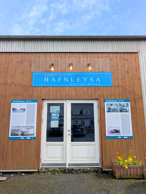
Hafnleysa means “no harbour”. That is tricky part about this location, there’s no natural harbor, so boats have to stop a ways away, and send smaller boats to land.
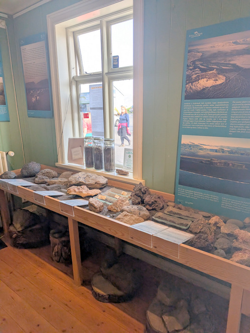
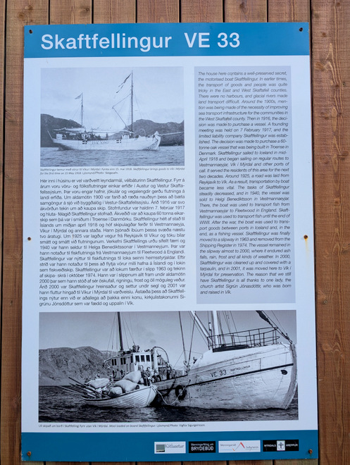
This is a museum and it houses an old historic boat.
The rest of the group had gotten out of eye-sight, but I assumed they were making their way to the sea, so I just kept walking and taking photos.
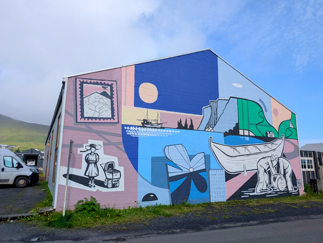
Wall art.
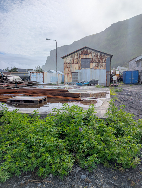
Industrial area.
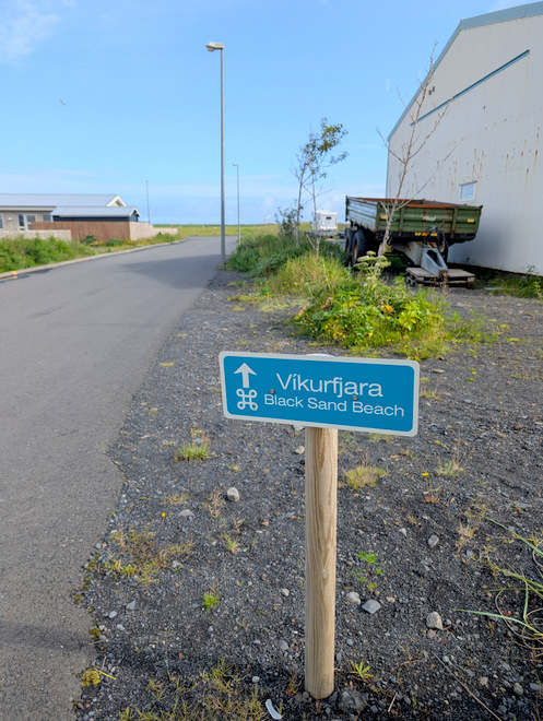
Oooh, a sign!
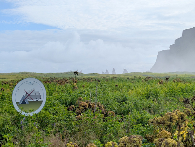
No camping!
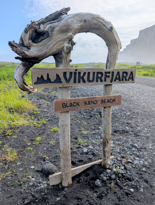
Cool sign.
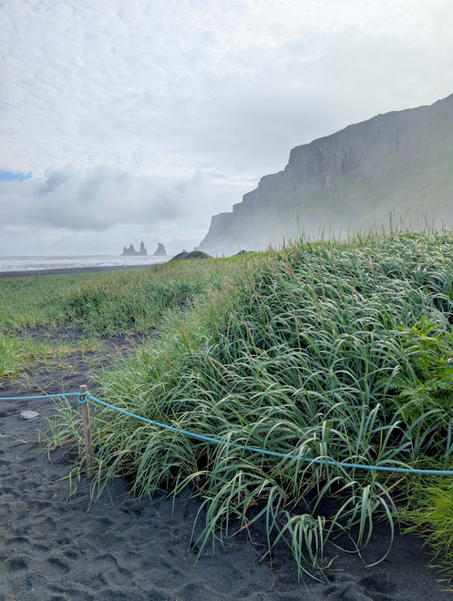
A lot of straws have been planted to try to limit the sand blowing here and there and everywhere.
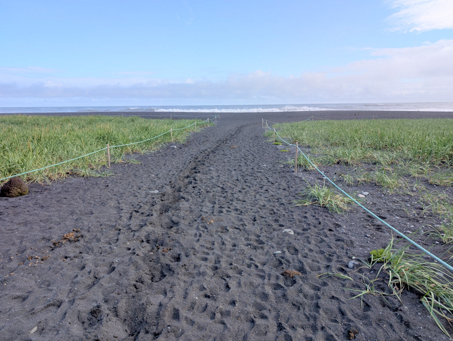
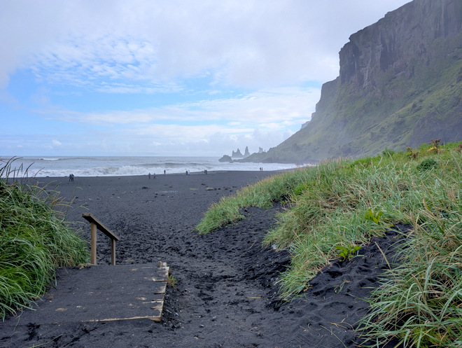
The pathway to the sea.
I found a rock to sit on. It’s hard to describe the noise emanating from the ocean as the waves crash onto land. So much power.
A group of slow riders on horseback appeared from the east, but they stopped in the distance, and then headed back to where they came from.
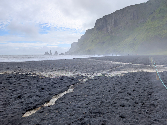
A large wave managed to crawl all the way up the the straw-bank.
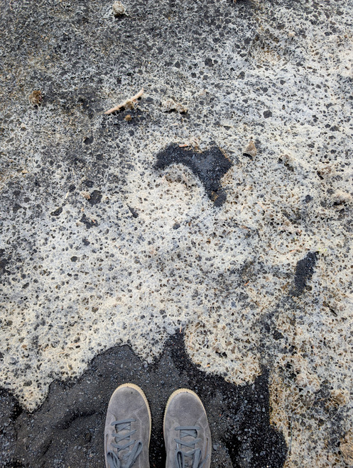
The salty remains of the large wave.
Scum?
Heading towards the mountain-ridge.
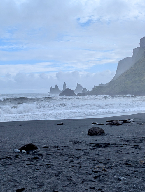
Wave, after wave, after wave… crashing onto shore.
The other access point to the beach.
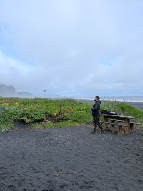
Found a dude playing with a drone. As I hadn’t seen my travel-companions I’d called them up and it turned out they’d found a place to sit down and get some refreshments. I was so enjoying the beach that I told them I’d catch up with them later!
Goodbye beach.
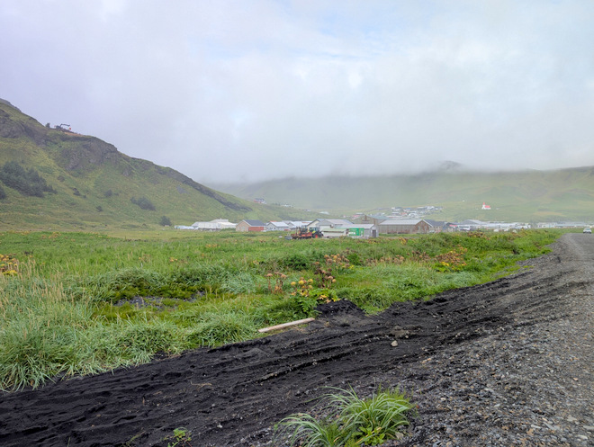
The town is set a little ways back from the beach itself.
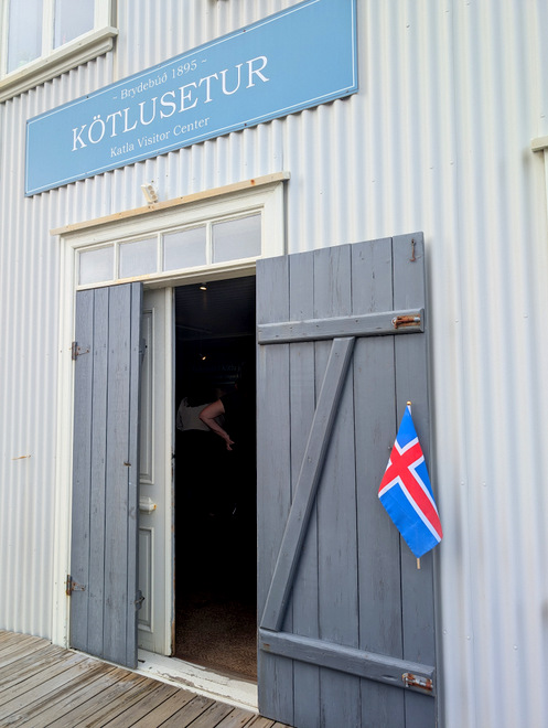
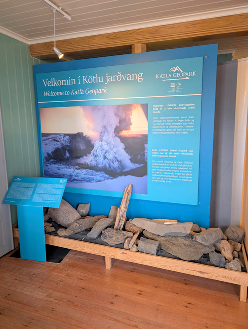
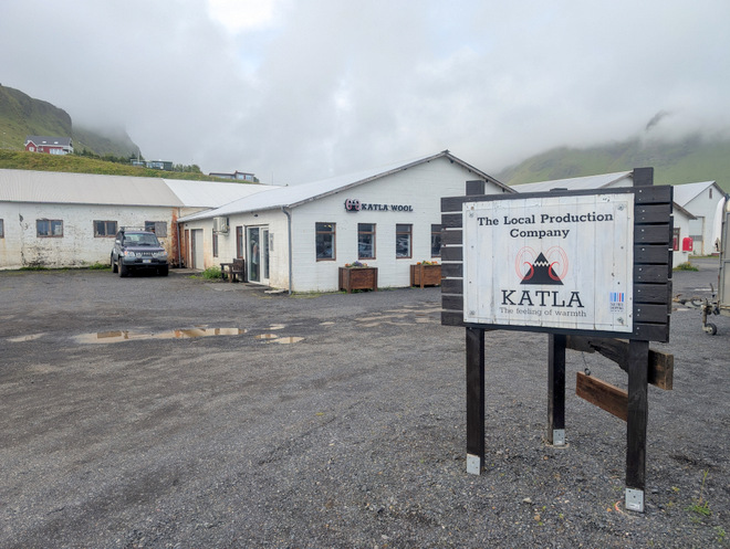
Katla is a big name around those parts!
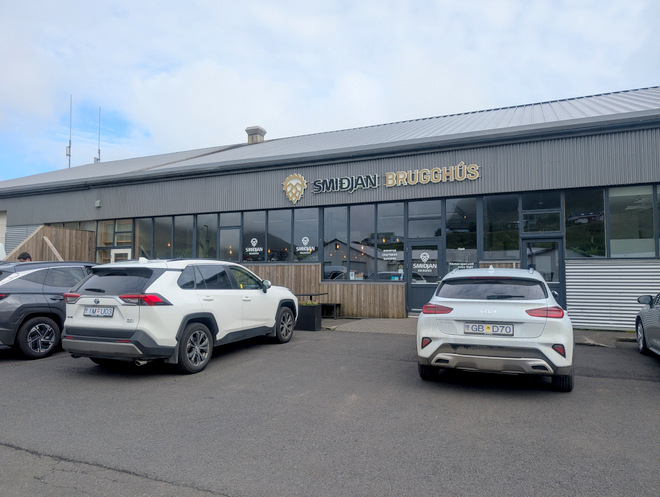
When I finally reached the brewery I’d just missed them, oh well.
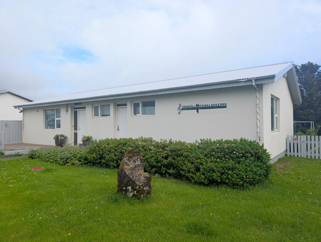
The music school.
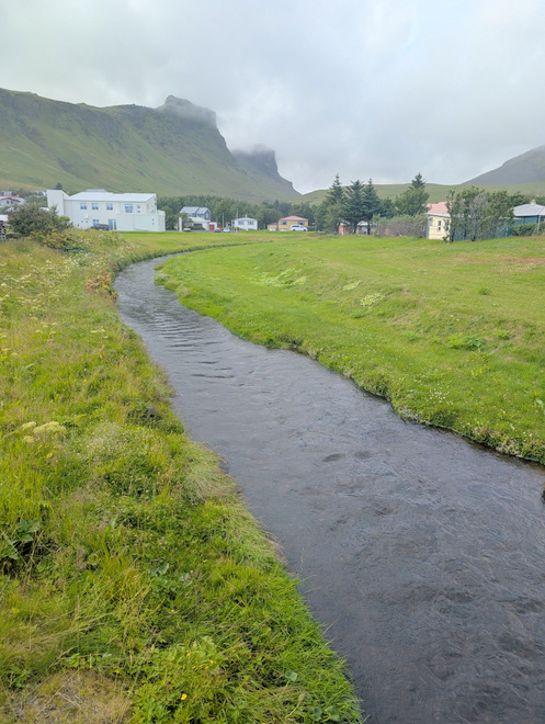
The river.
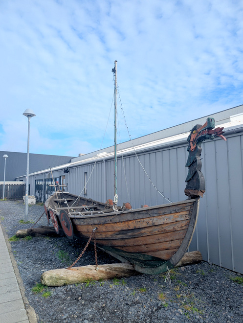
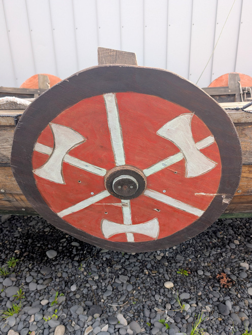
Obligatory (?) Viking boat outside the shopping center.
Quite Viking-y, but not very impressive.
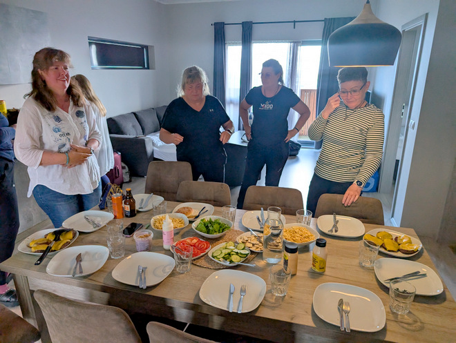
Dinner was scrumptious after a long day!
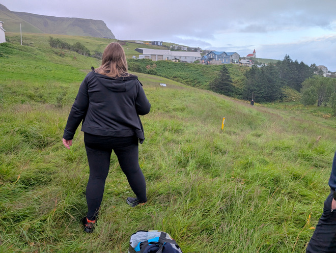
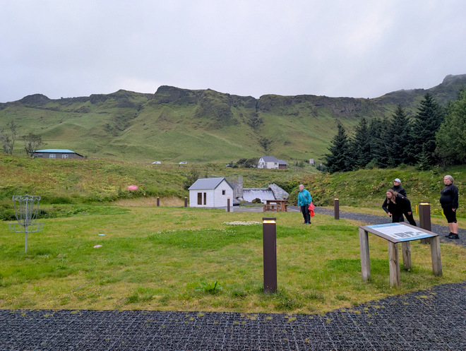
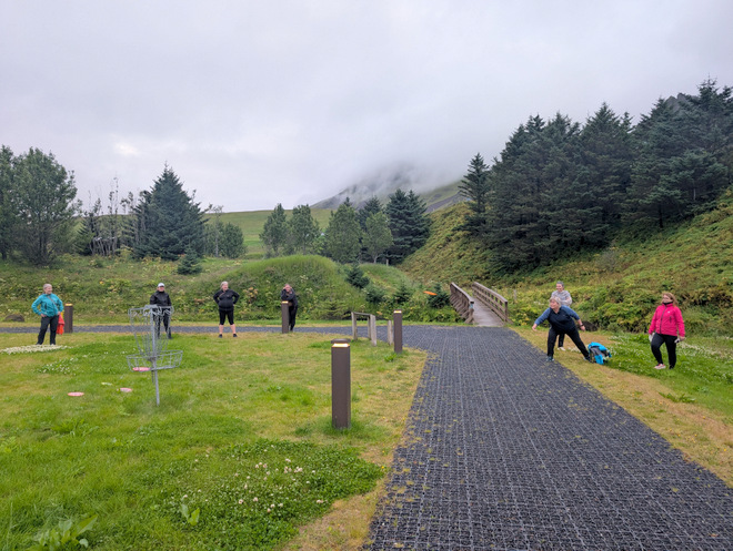
After dinner, a sub-group of us went to try the disc golf course.
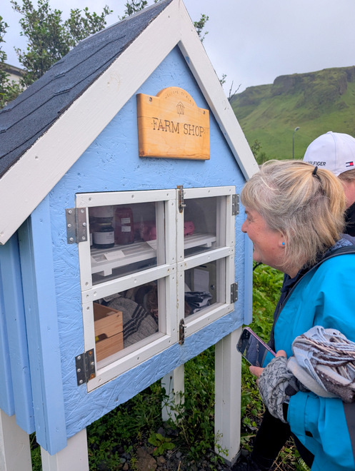
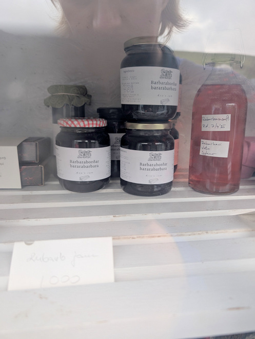
We found an adorable farm shop!
It was quite rhubarb-centered.
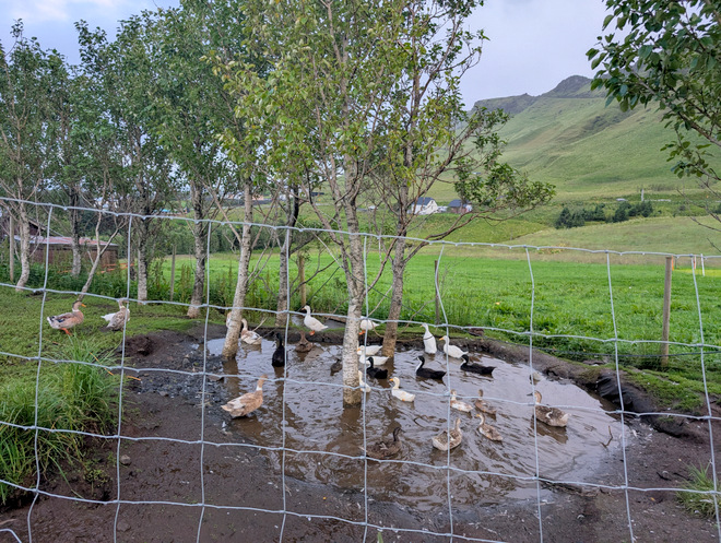
We found a pond upon a hill, and scared all the birds away!
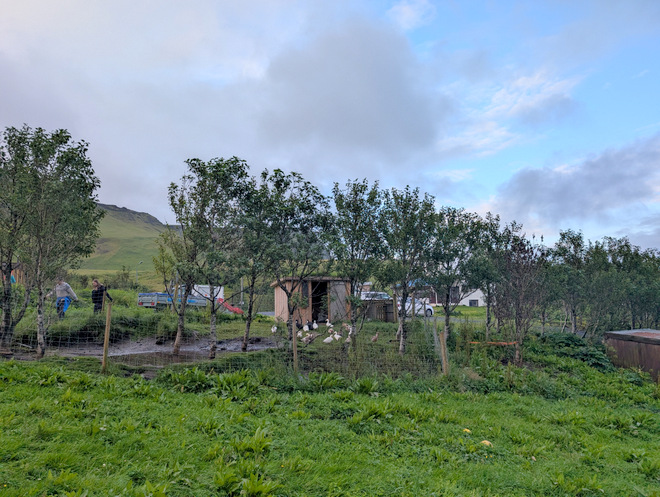
The edge of the farmstead.
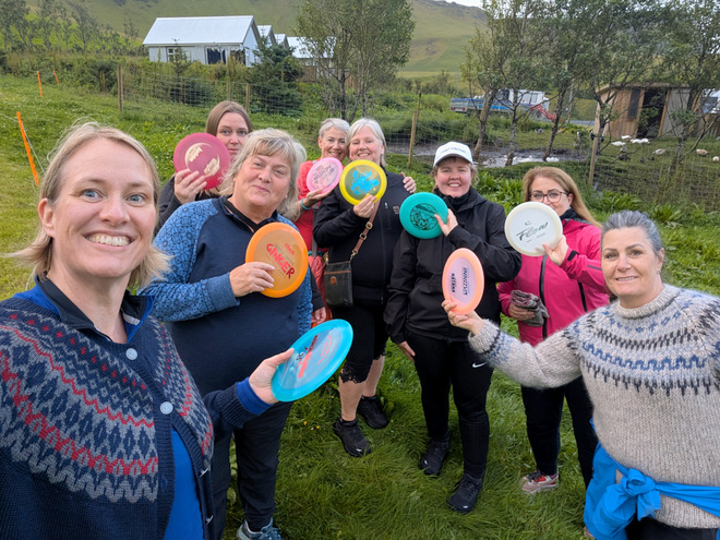
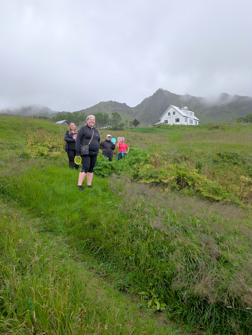
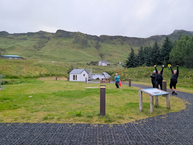
The disc-golf group!
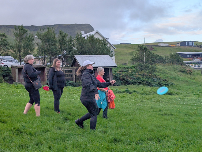
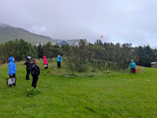
Many were throwing a frisbee disc for the first time in decades!
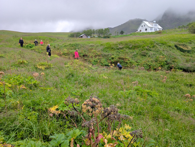
The obligatory “where did it go?” search.
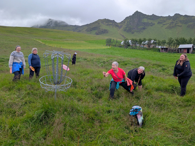
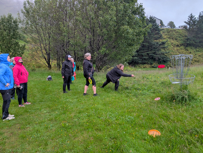
She shoots…
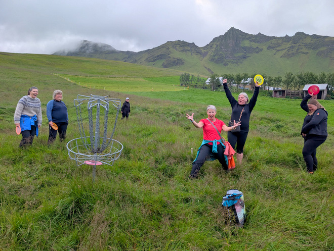
She scores!!
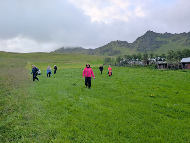
The course basically goes downhill and un-mow-able hill, and there was a lot of grass and foliage to hide the discs upon landing!
Watching a disc-search in progress.
The disc-fishing-pole came in very handy as one disc ended up on a hill across a small stream. The hero who fished it out also found another disc in the same location!
We made it down to mowed civilization, and it started raining!
Trying the “over the cluster of trees” method.
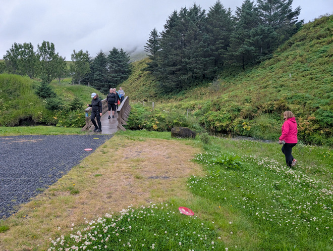
Coming over the bridge we spotted earlier.
She shoots…
She scores!!
One last valiant effort. I can’t remember which team was victorious, but we all had a ton of fun!
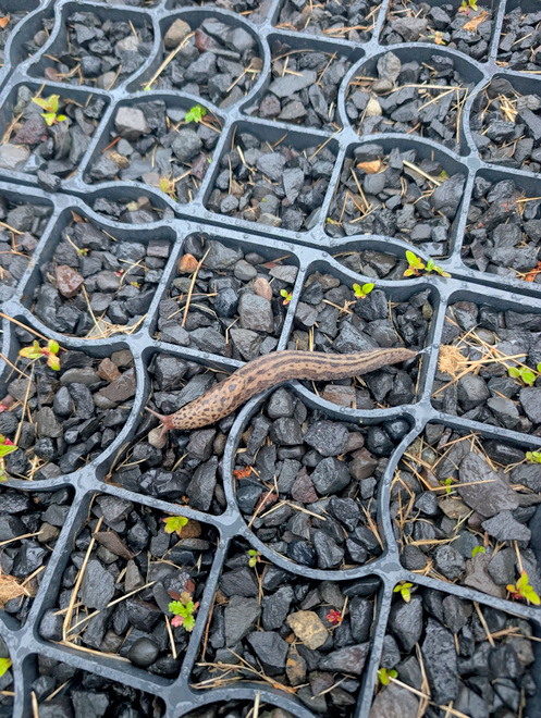
Walking back to our apartments we found this snail. Apparently its the “good” kind, as it eats other snails?