[Photos taken 15 July 2023, posted online 21 April 2024. I screwed together a 120-cm wide non-Ikea bed for Emma yesterday, and re-ignited the sprain in my lower-back from my 140-kg ego-deadlift a couple of weeks ago. Such is life.]
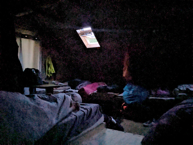
The first night in our Thórsmök cabin went ok-ish. The skinny foam mattresses in the cabin turned out to also be quite thin, so I woke up every time I changed sleeping positions. Thank you massive hips! On the upside, not everybody showed up to the fully booked cabin, so we had a bit of extra space.
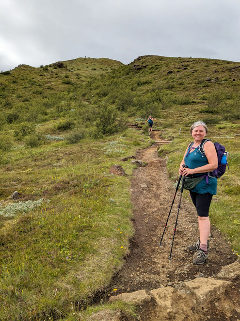
It was a groggy Hrefna that emerged in the morning, but the day turned out fabulously, both weather- and hike-wise.
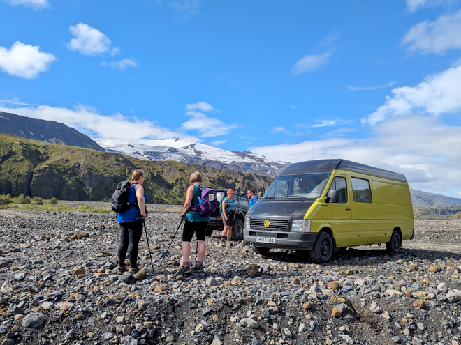
It was a ridiculously beautiful morning! We were ready to depart around 10.
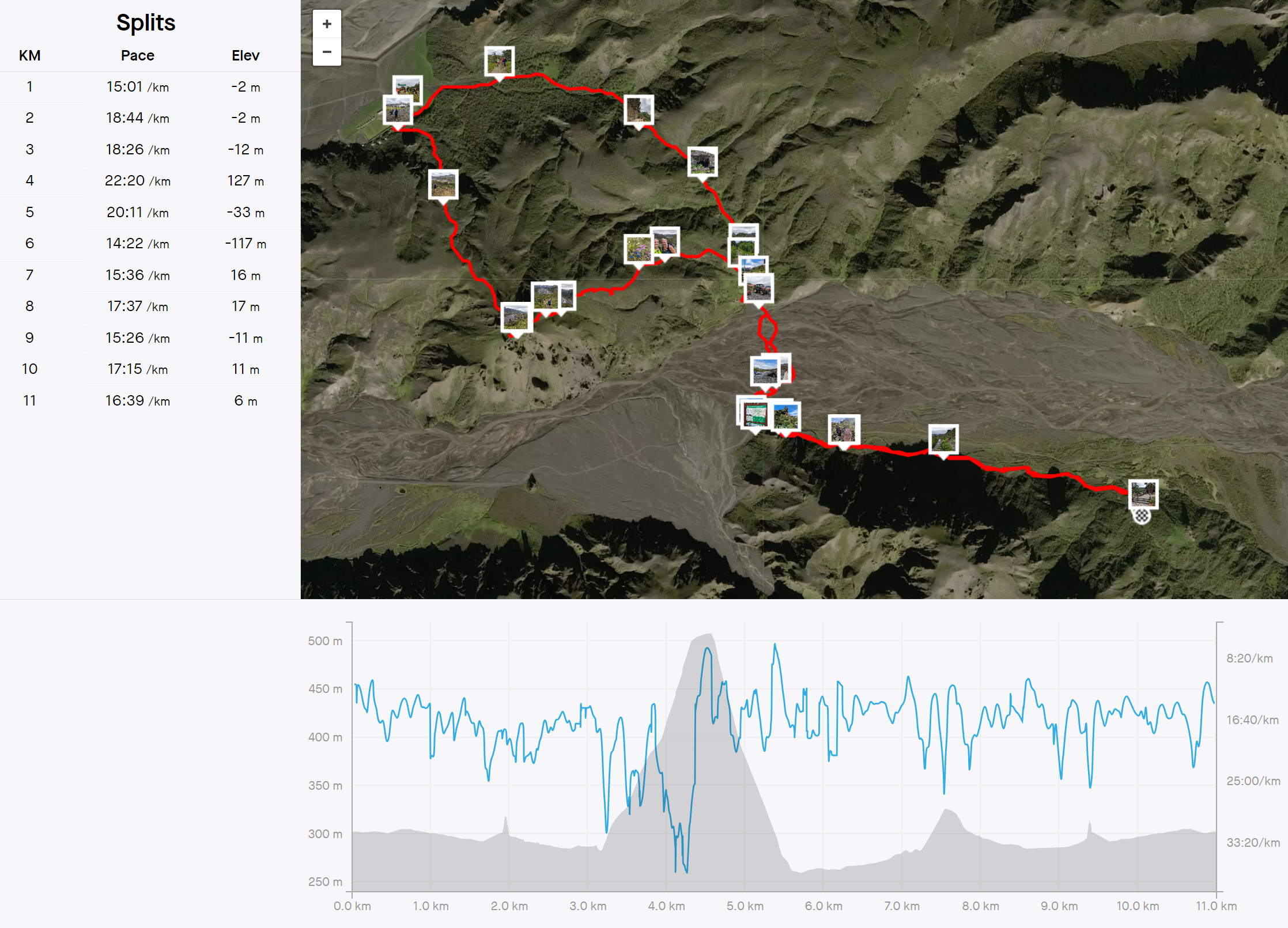
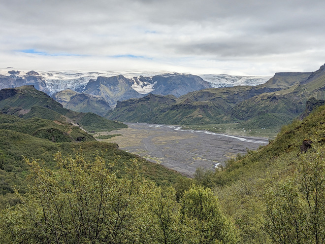
Our hike would end up being about 11 km, and took most of the day, as we were in no hurry! The image is clickable for a higher resolution view.
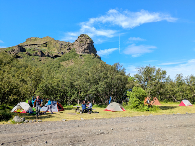
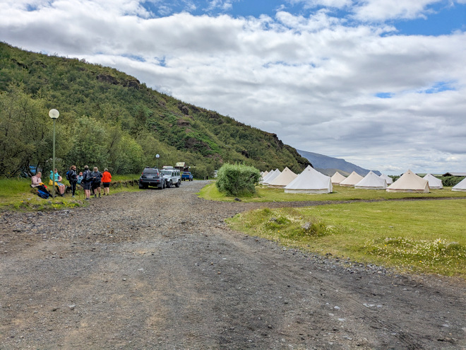
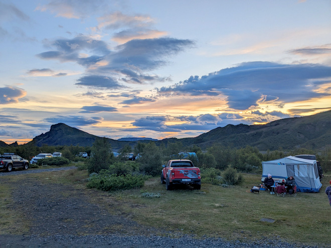
There were quite a few tents on the campground, which is a large one, but shrouded with trees.
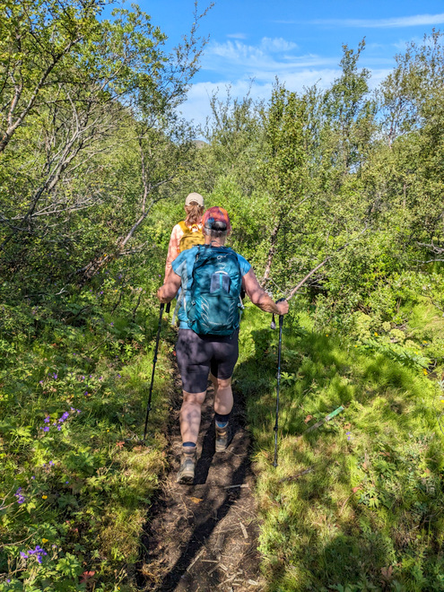
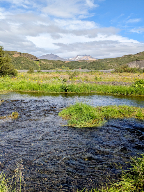
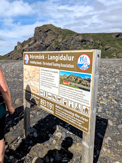
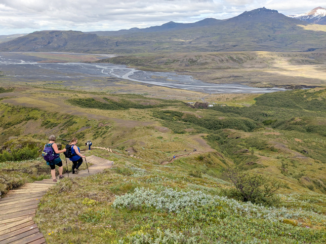
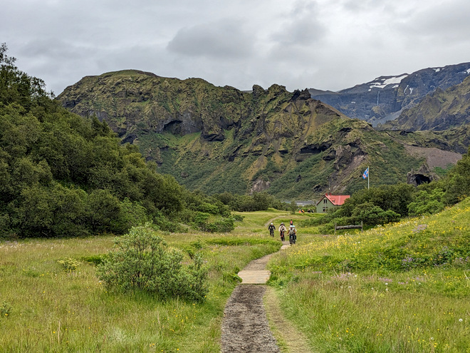
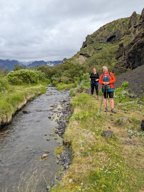
We thought we’d have to walk the car-route to Langidalur, but a quick chat with one of the keepers directed us to a wonderful path amongst nature that runs alongside the barren road-stead.
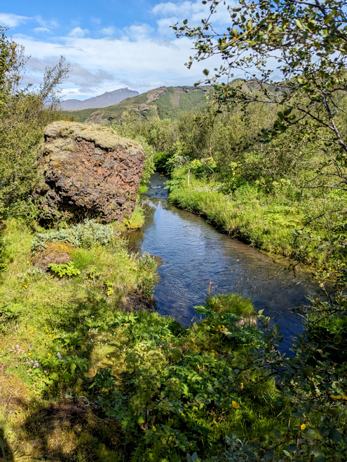
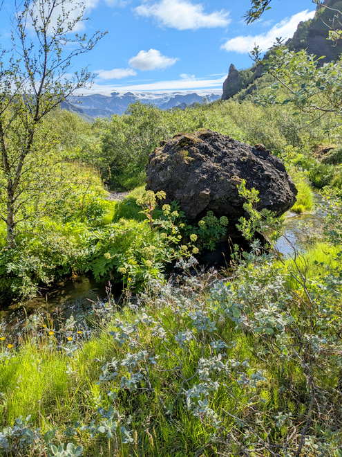
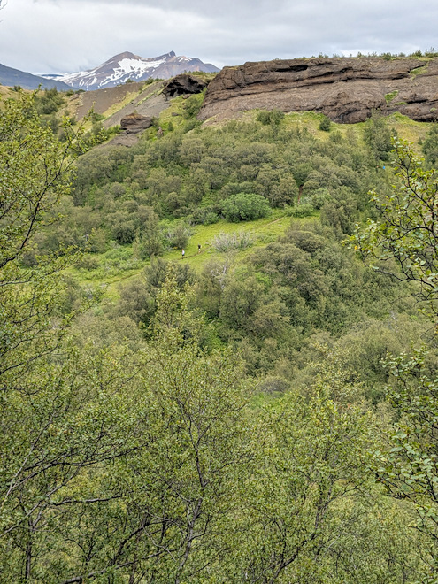
Lovely nature.
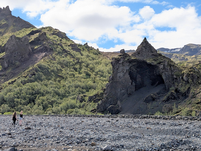
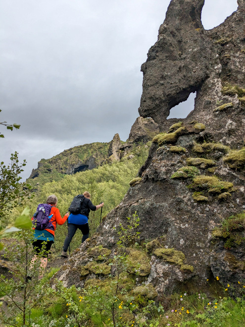
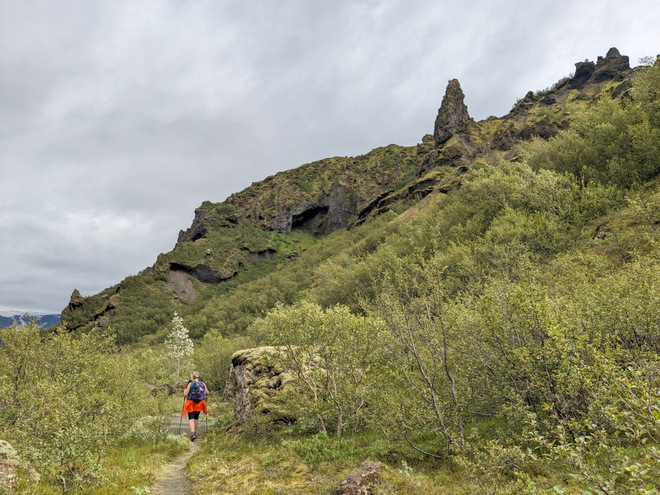
Rock formations everywhere!
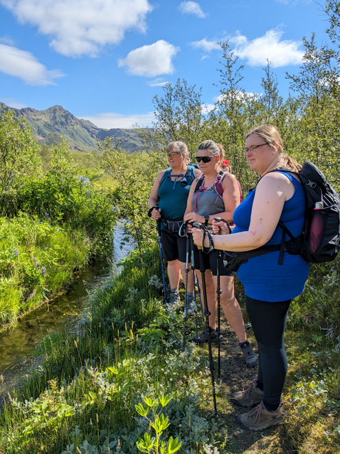
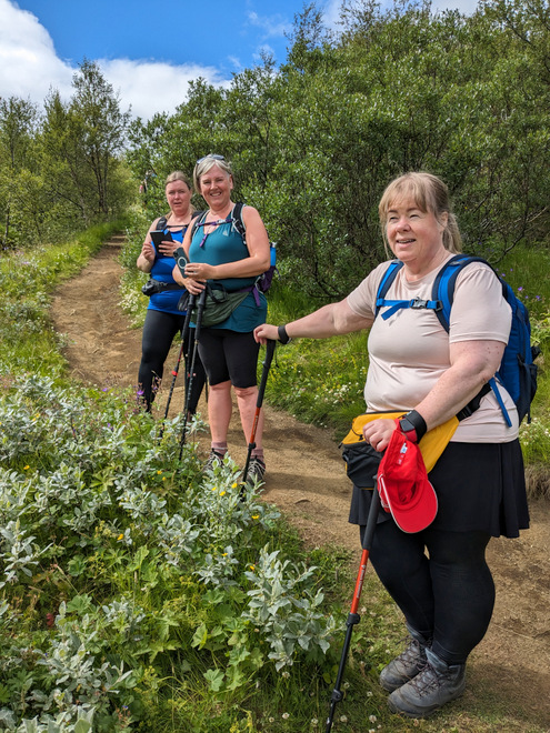
Remembering to stop and enjoy life.
Naaaatuuuuure!
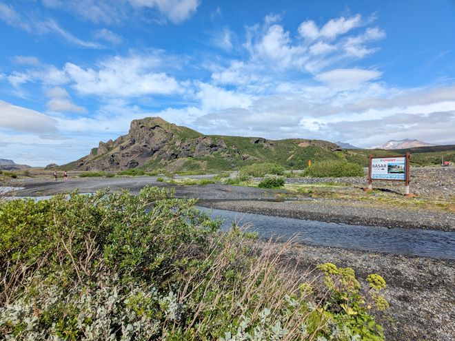
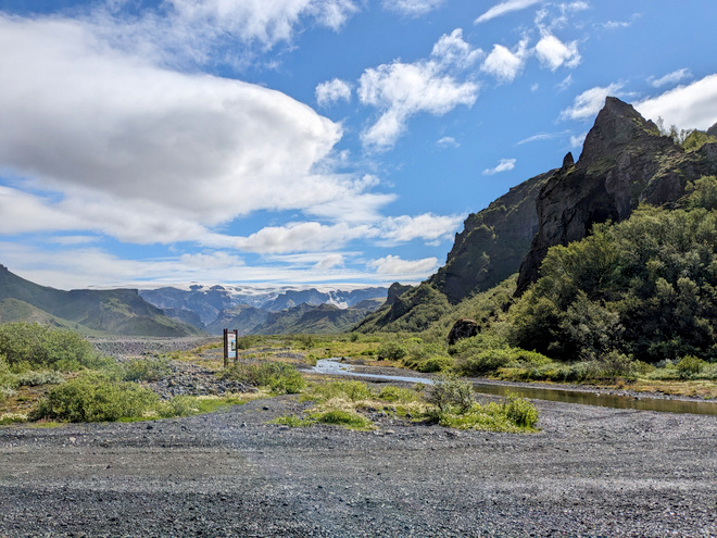
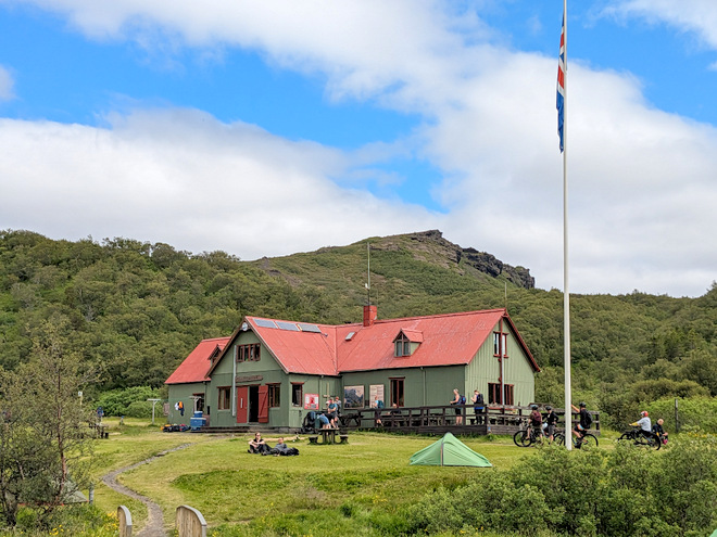
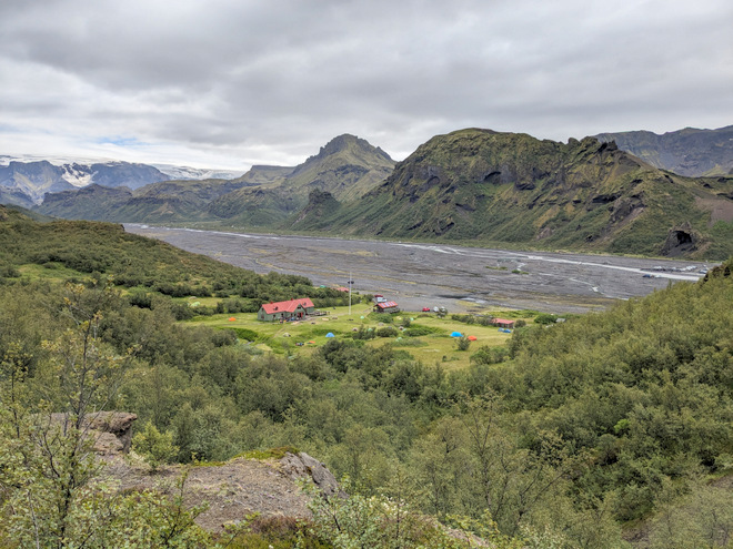
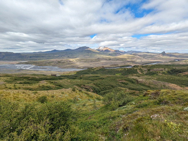
Our destination, Langidalur (Long-valley). You can just make out the house on the other side of the flood-plane.
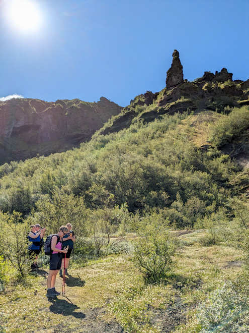
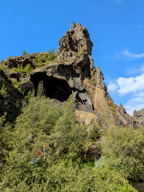
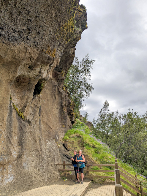
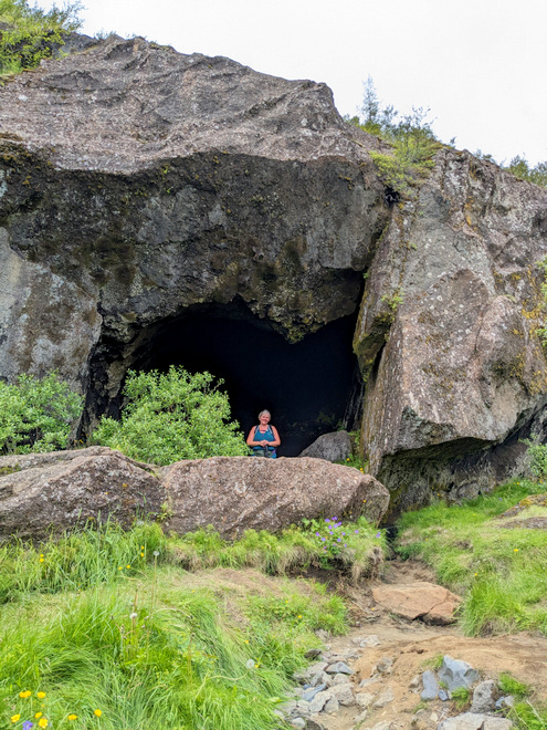
Going past the elf-church (its opening is on the other side).
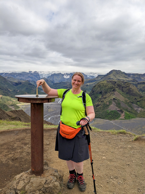
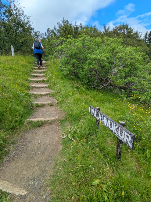
That peak, Valahnúkur, was the day’s top destination.
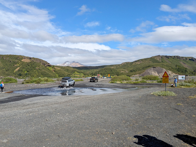
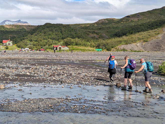
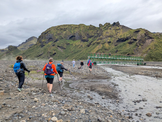
Cars crossing the easier fords towards Langidalur.
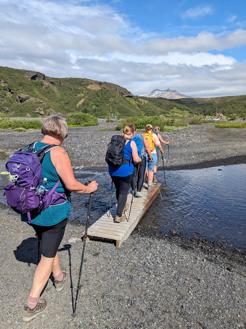
Luckily there was a footbridge too.
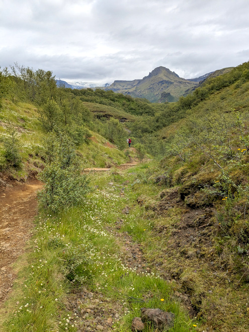
Where we came from.
Where we were going.
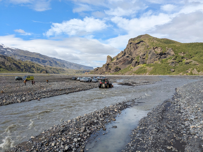
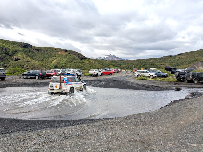
There’s a mean river that stops most cars from entering the Langidalur site itself. This being Iceland, somebody in our group met someone they knew in a car that was parked by the river.
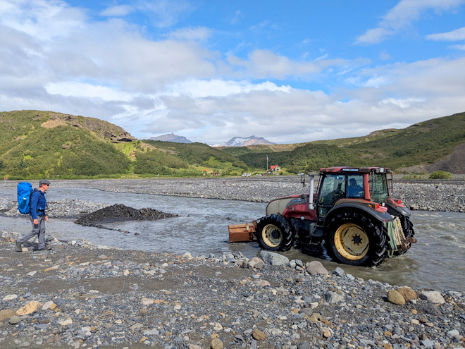
We spotted a lady using a tractor to move rocks around in the riverbed, altering its flow.
Looking back, a better photo of the Elven church.
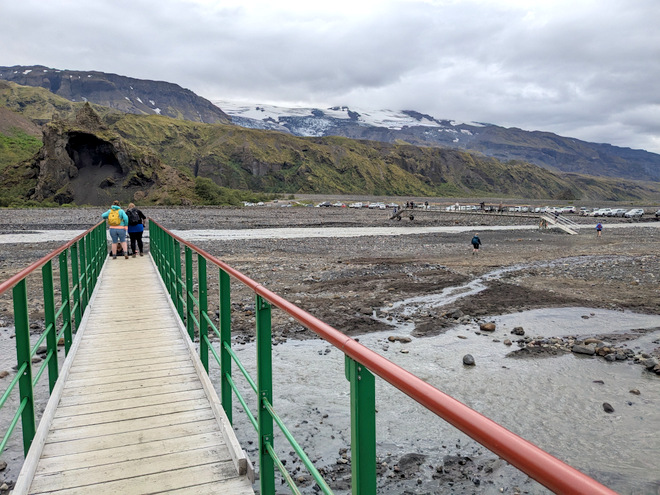
On the elevated and movable footbridge over the Krossá (?) river.
Making our way to the Langidalur camp.
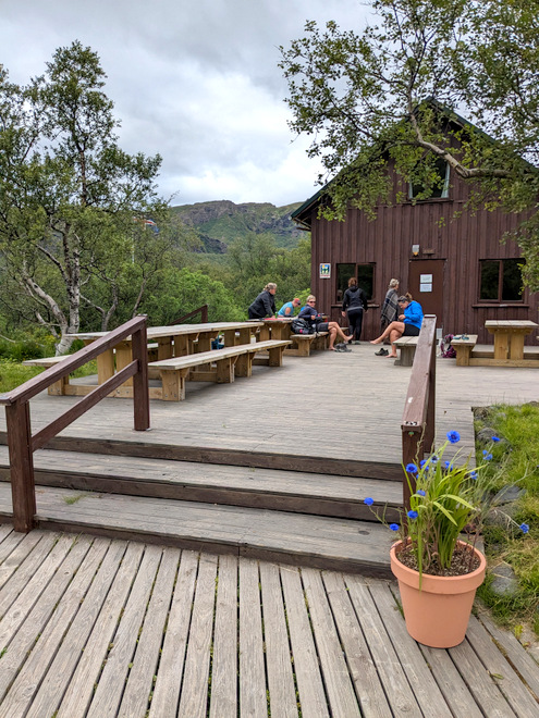
The big cabin in Langidalur. There was ZERO wind!
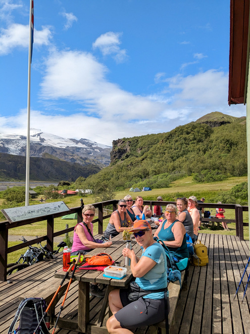
Lunchtime! That’s Eyjafjallajökull in the distance on the left.
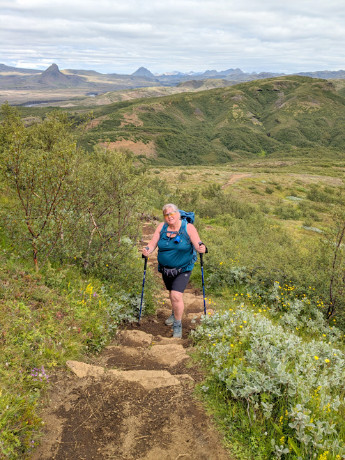
Time to go upwards towards the peak of Valahnúkur.
It always amazes me just how quickly houses become small when you move upwards.
The path up was really nice and well travelled.
The views were not too shabby either… Mýrdalsjökill, seemingly retreating.
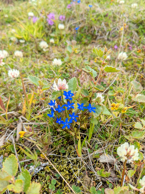
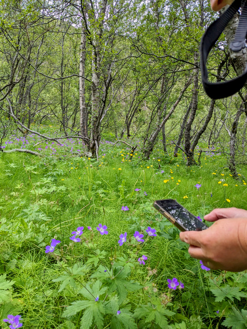
A very blue flower!
Getting up there…
You could see over to the valley next door, and the mountains that contain it.
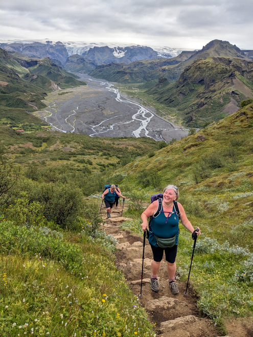
Smiles all around!
The last few steps to the peak.
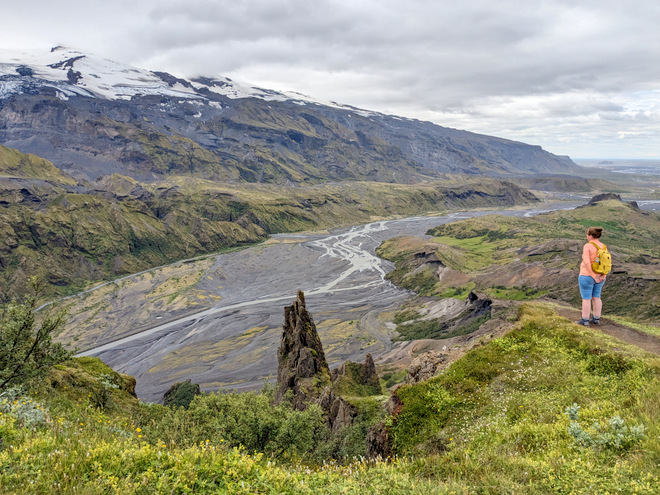
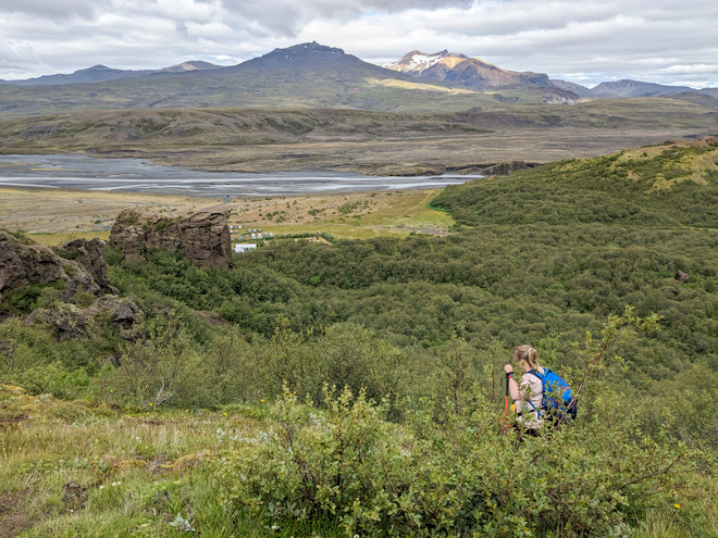
The next door valley, you can almost make out the light colors of the campsite in Húsadalur (House-valley) towards the mid-left.
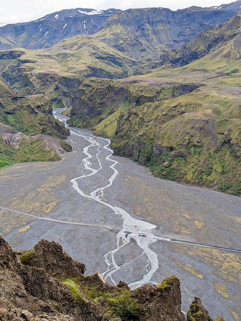
Looking onto “our” flood-plane, that’s the canyon we drove past, and the bus fording the river the exits it.
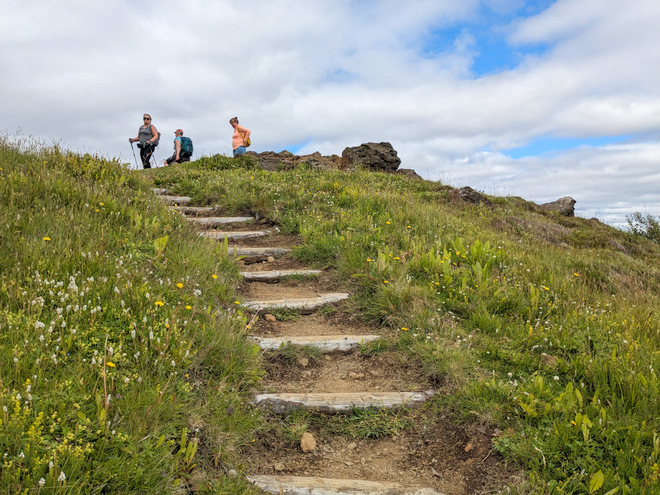
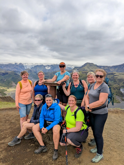
Group photo at the top (minus one, who took a lower route due to angry knees).
Checking out Eyjafjallajökull.
The path down had lots of wooden steps! The white splotch below is where we were going.
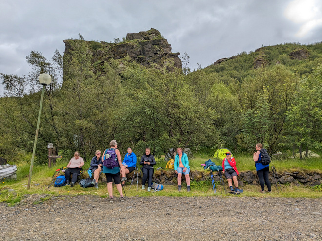
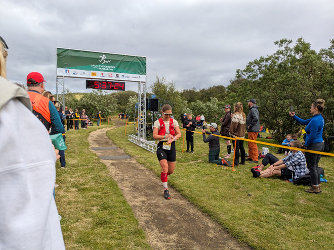
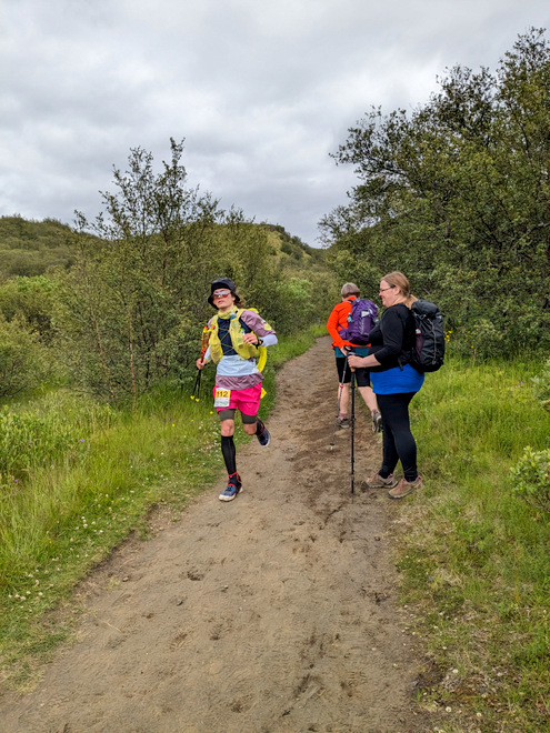
Our walk to home base would take us along the final stretch of the 55 km run.
It’s good to be colorful so you’re easy to spot!
We hung a right, but as we got higher we saw more runners appearing on the other side.
A hole high in the wall.
Good for the soul.
This was Agnes’ playground when she was younger.
Langidalur camp visible along with a bunch of e-bikers.
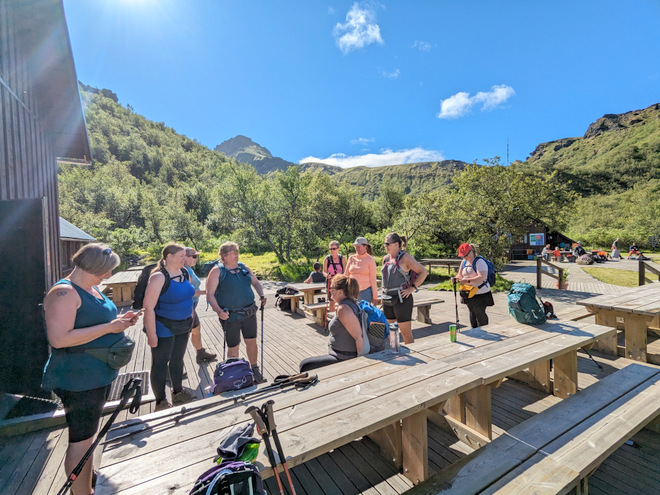
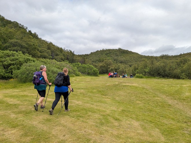
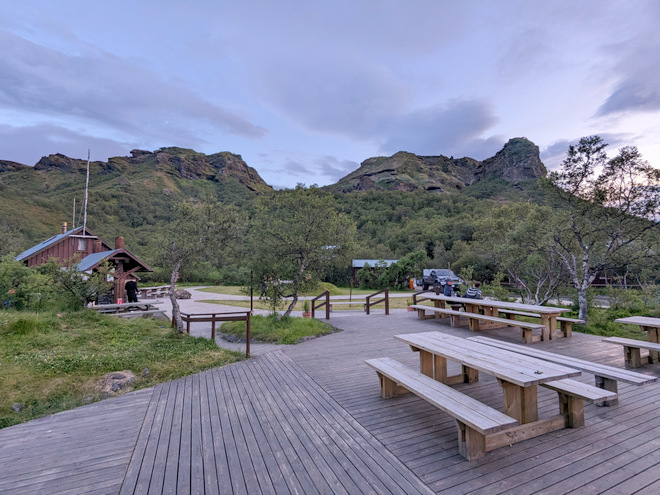
Our group had commandeered a table on a grassy field.
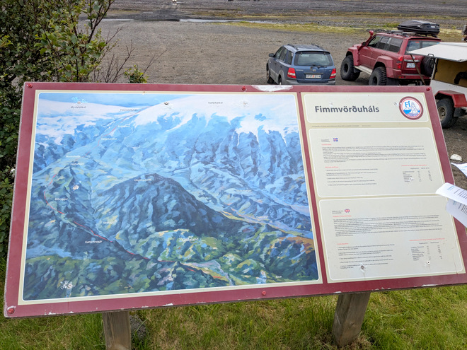
By 4 pm we set out again to return to our cabin. Found this nice map depicting the Fimmvörðuháls (Five-Cairn-Neck) hiking route. It’s a very popular hiking route that goes from the seaside, up and between the two glaciers, ending by our cabin. You can see the gap between the two glaciers on the map.
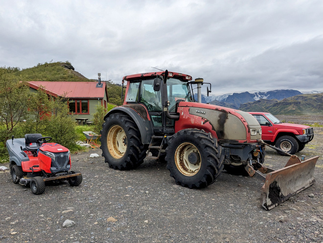
The tractor and its baby were on a break.
Heading towards one of two movable footbridges.
The second bridge was up ahead.
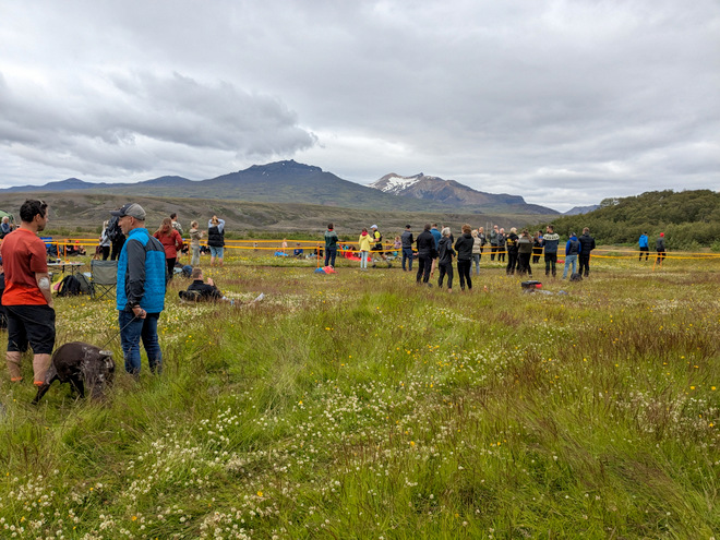
The number of cars had increased dramatically. The police had decided to pay a visit.
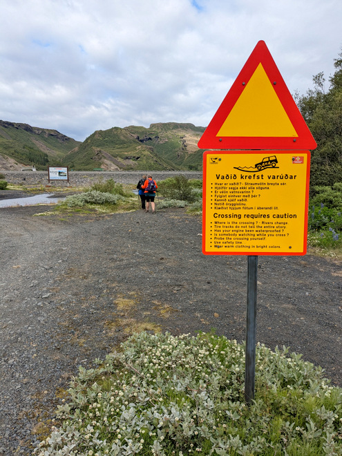
Be careful!
The glacier was mostly hidden by clouds on the way back.
Another interesting rock formation.
How to feel small.
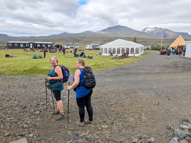
We made it back at 5 in the afternoon. My feet were a little sore (I still don’t have shoes that really work for me) but other than that, spirits were high.
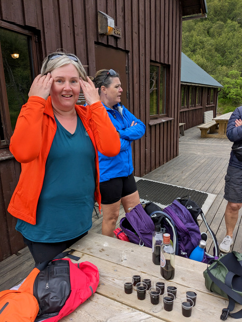
Post-hike-shot-time!
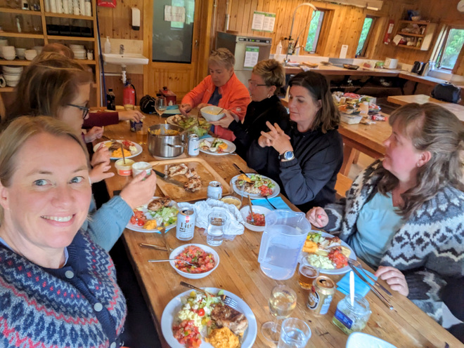
The dinner crew at work.
Lovely.
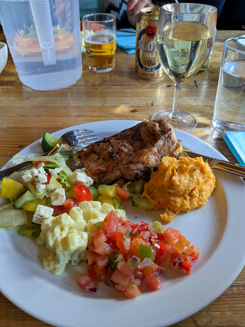
Oh yeah!
More oh yeah!
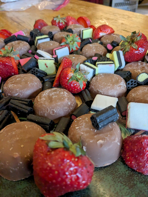
The dessert platter!
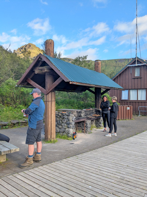
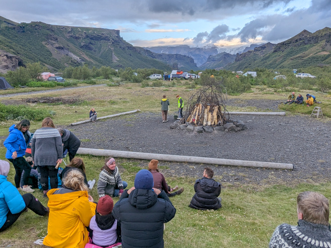
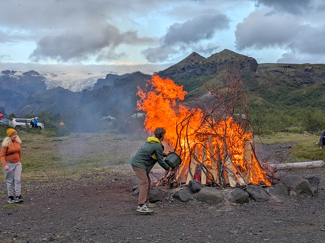
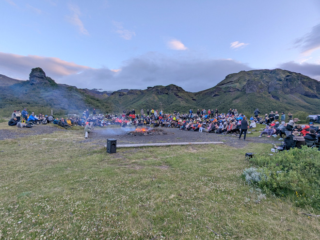
At 9 in the evening we headed to the bonfire-site. The glacier had mostly cast off the clouds.
It took a while, but the staff got the fire going, and kept throwing some fuel on it for a bit.
A group of guys brought out a massive battery-operated Bluetooth speaker, and we had an impromptu singalong.
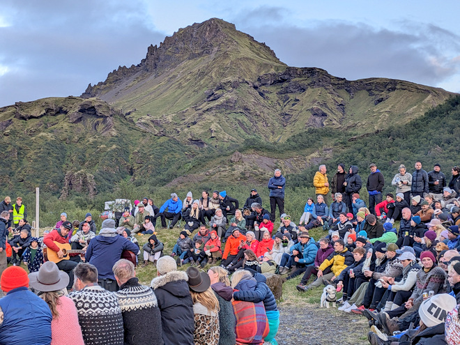
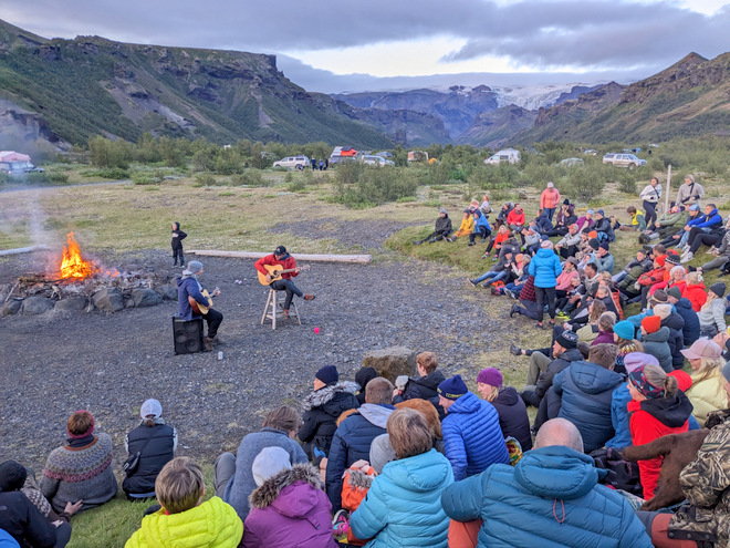
Then a couple of guys appeared with their guitars, and had a proper-sing-a-long.
Then a couple of guys appeared with their guitars, and had a proper-sing-a-long.
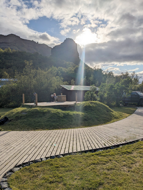
The sky being very pretty at 22:30, as I ambled back to the cabin.
The end of a lovely day.
Unexpectedly, there were open beds again the second night, so a few of us grabbed unoccupied mattresses, and slept on double-deckers. Sooo much more comfortable! We caught all the zzzz!