[Photos taken 16 July 2023, posted online 27 April 2024. Currently sitting in a coffee shop in Amsterdam, on the King’s birthday. It’s been a strange spring.]
We had to clear out of the sleeping portion of the Básar cabin before 11 in the morning, but our bus wasn’t leaving until 16 (4 in the afternoon). We therefore packed up our stuff and stacked it outside, had breakfast, and headed out for an easy hike among the hills around the campsite.
When we arrived back, we had a late lunch and then relaxed until the bus was ready. The bus-ride to Hvolsvöllur was uneventful, and so was the drive to Selfoss where we ate dinner, and then Agnes dropped me off at home, blissfully full of nature!
Sunday 16 July 2023
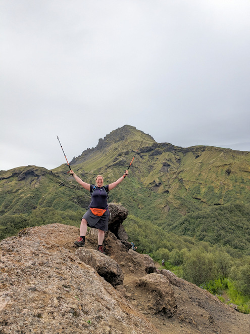
Standing on an outcropping close to the campsite.
The day started with us clearing out our stuff out of the sleeping-area, and piling it outside, in the hopes that it would stay dry, which it did.
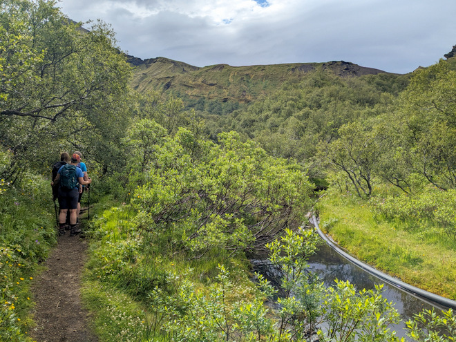
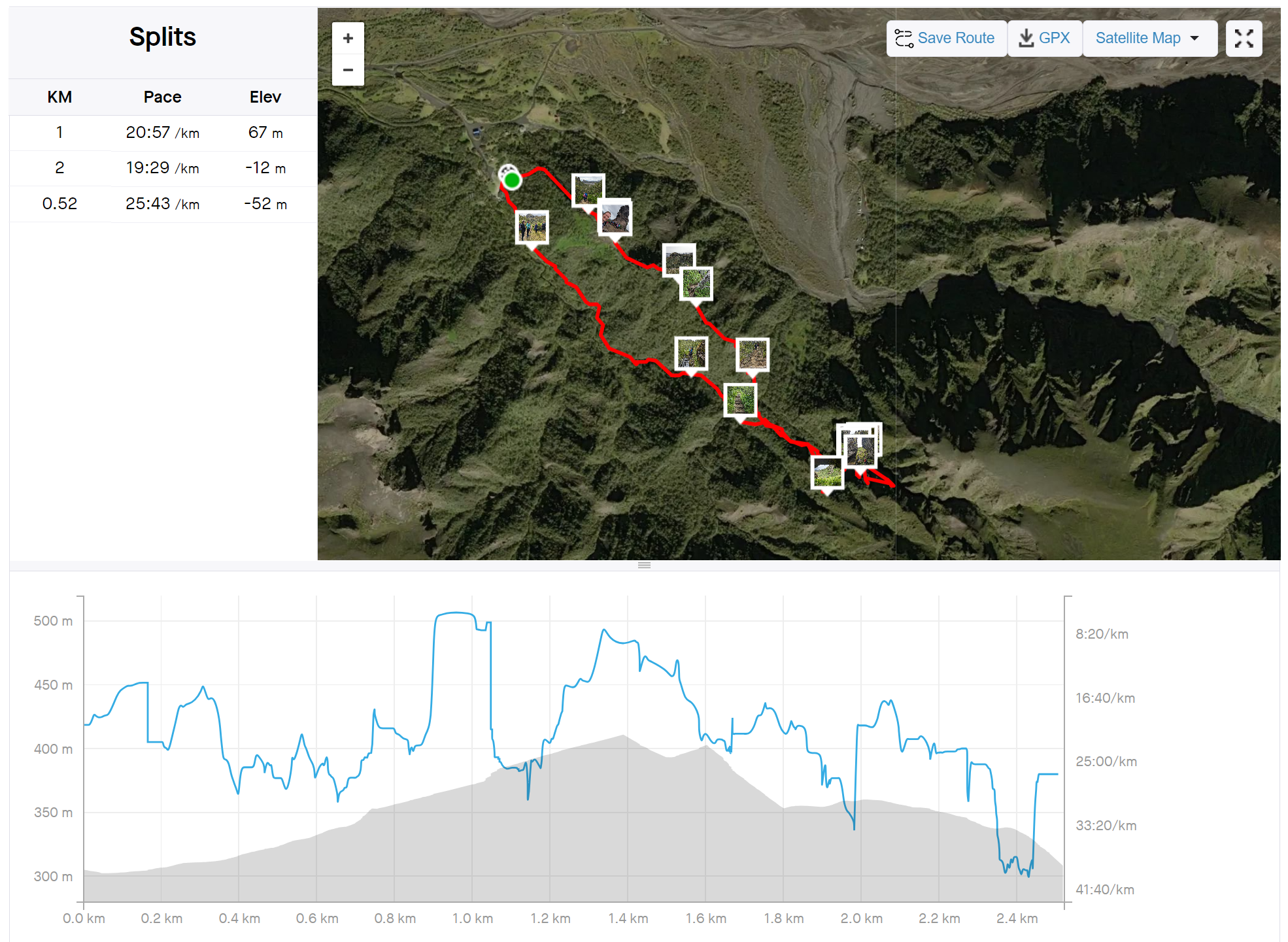
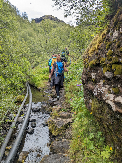
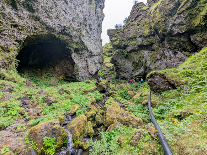
Mindful of angry joints in the group, we opted to hike a short route up the valley the campsite sits at the mouth of. It was only about 2.5 km. The most noticeable feature was the water-pipe that collects water higher up, and feeds the campsite.
The Strava recording.
The snake-y pipe.
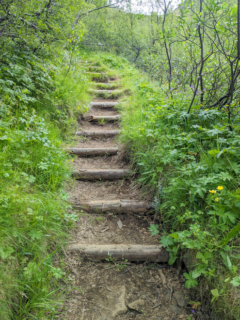
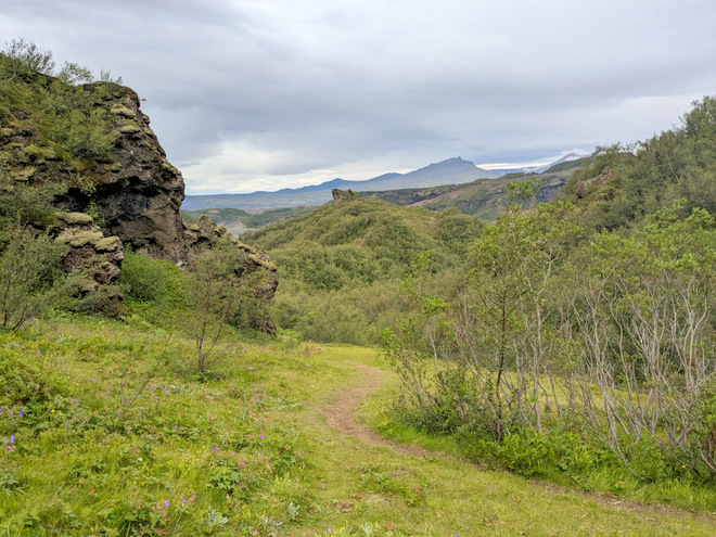
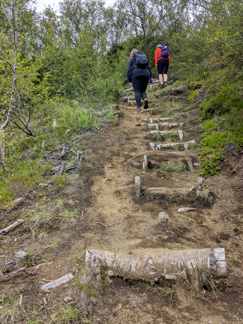
Lots of work has been put into path-making in the area.
Approaching the upper end.
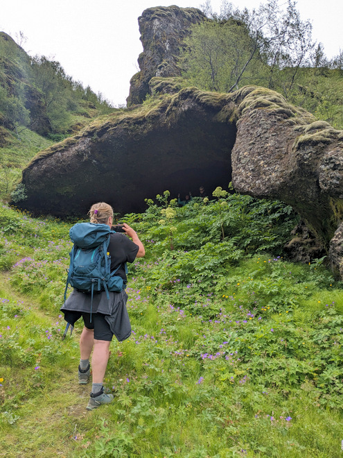
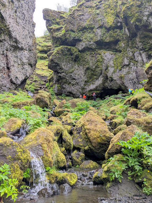
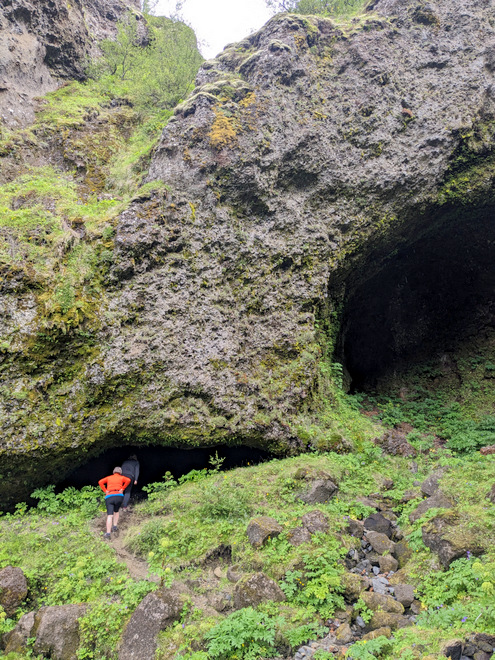
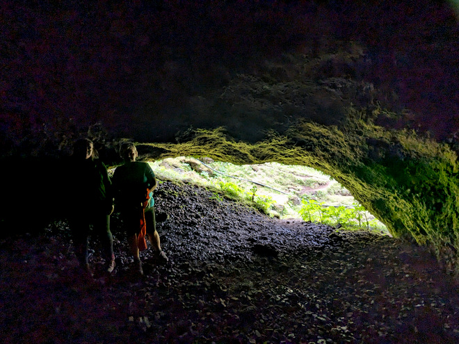
I’ve discovered that caves are weird. You see black slashes in the hills, but when you get close, they’re a lot bigger than you think.
The view from inside the cave.
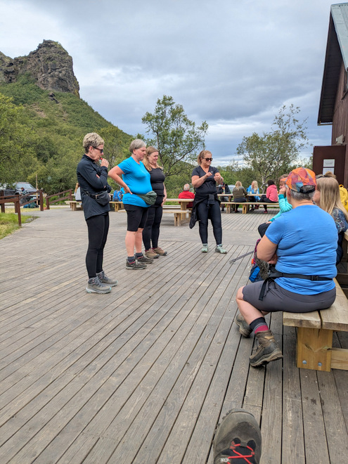
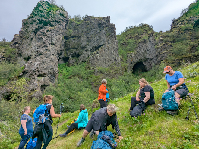
Time for second breakfast!
Where we came from.
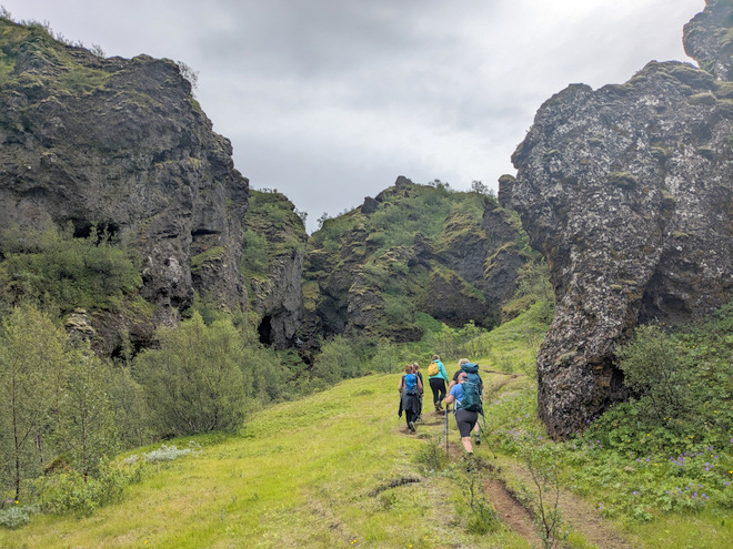
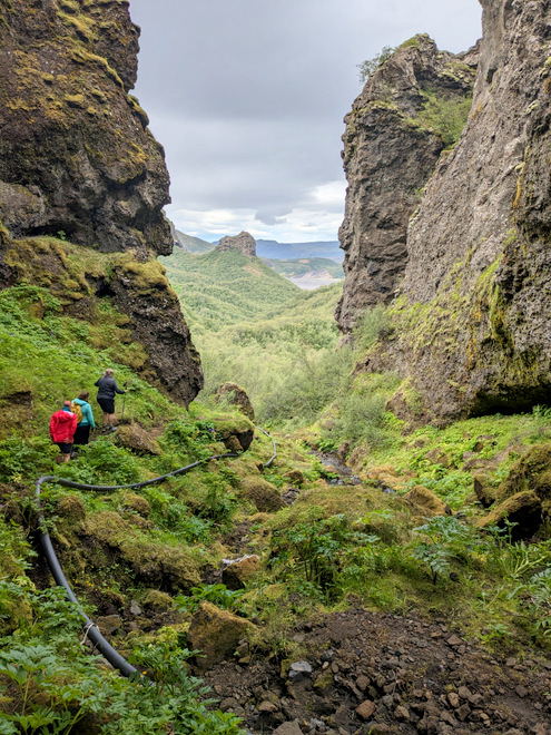
About as far as we went up the valley.
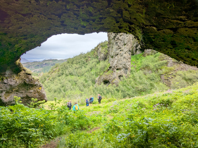
Turn the camera another way, choose the wide-lens, and a large opening appears!
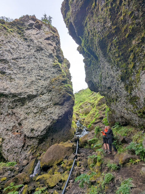
Selfie time with a sneaky waterpipe snaking by.
A few of the group hiking back from where we came from. Didn’t look Icelandic somehow.
Checking out the black slash next to the big opening.
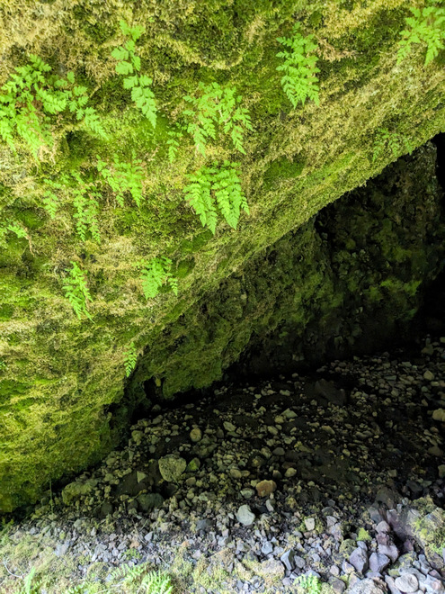
Again, bigger on the inside!
Tiny ferns growing from the ceiling.
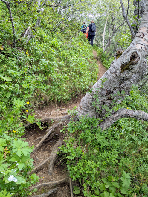
We turned around, but took the higher route back.
A road well traveled.
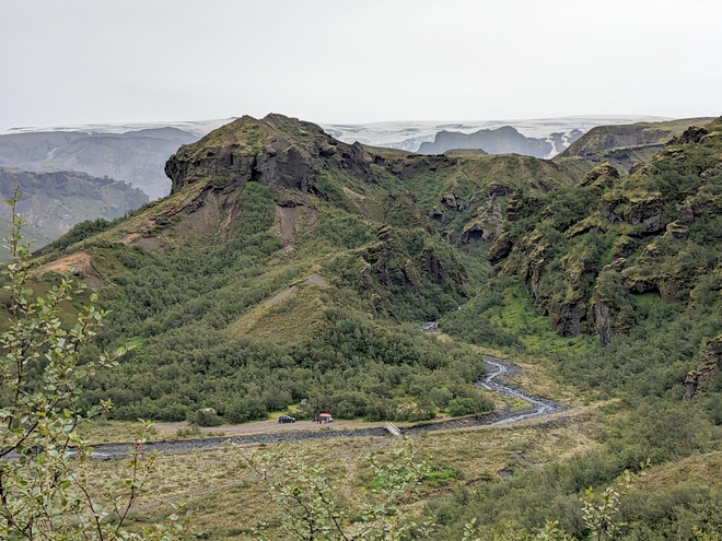
Probably the tail end of the Five-cairns-ridge (Fimmvörðuháls) hike? Mýrdalsjökull glacier visible in the distance.
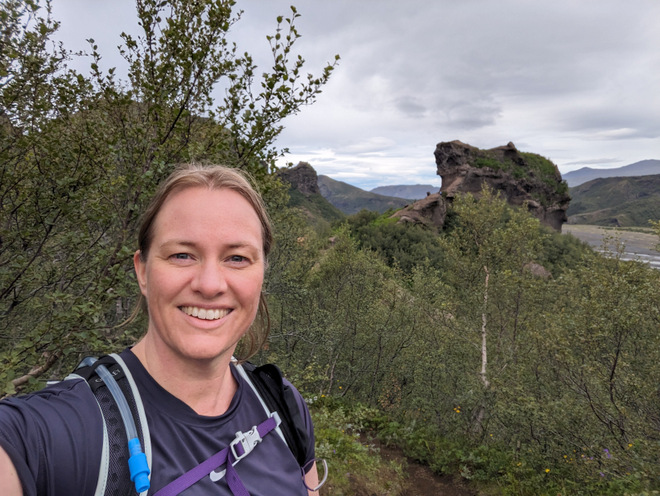
With the outcrop that overlooks the campsite behind me.
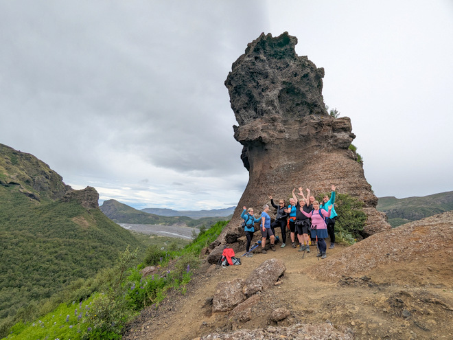
It’s a little crooked!
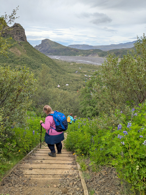
Going down the wooden stairs that take you straight down to the campsite.
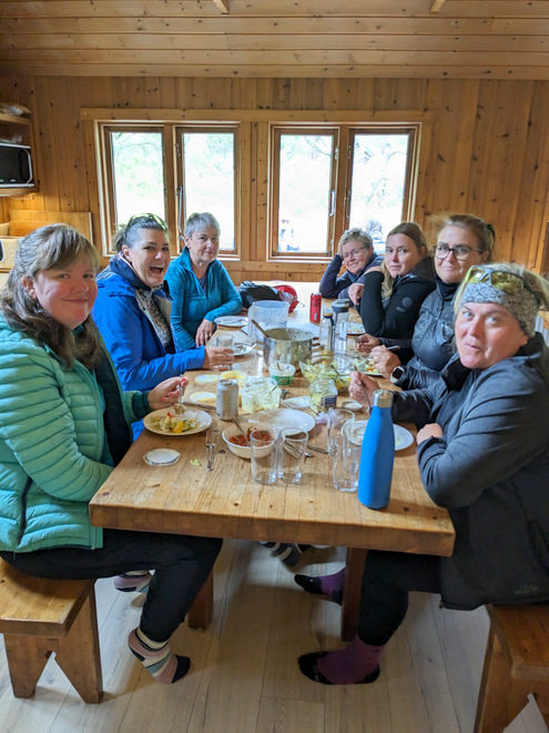
Late lunch. Thankfully we still had access to the kitchen even though we’d cleared out of the sleeping area.
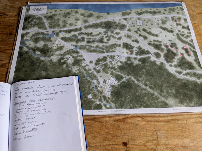
We signed the guestbook, all very happy with the trip. We’ve already made plans for another trip this coming summer!
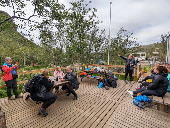
Waiting for the bus to open up for loading.
Flowers!
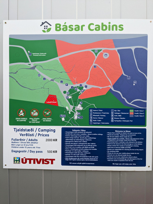
Map of the campsite.
And then we were off!
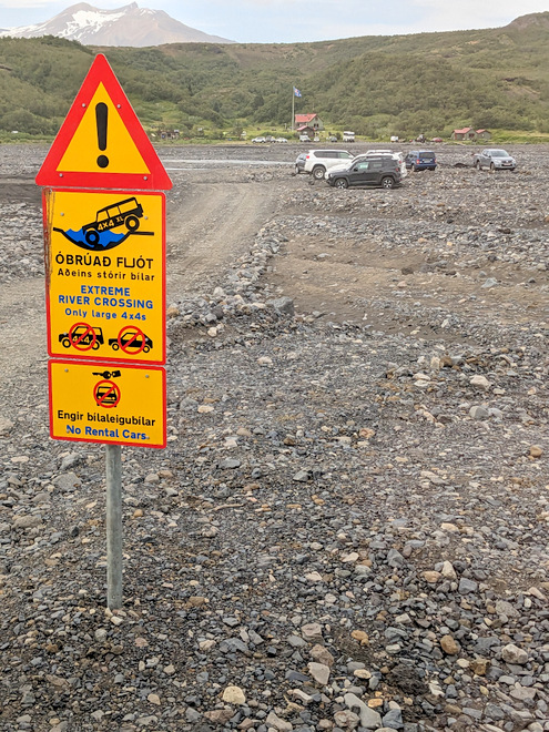
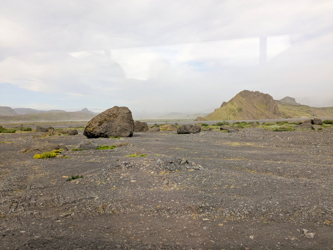
There are plenty of warning signs, but every year somebody still gets a car stuck it seems. The bus had to make a stop at Langidalur before continuing onwards to Hvolsvöllur.
The Mýrdalsjökull glacier being mysterious in the clouds.
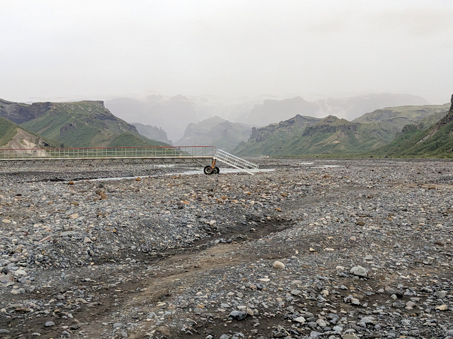
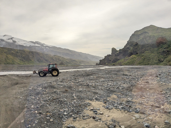
The tractor-lady was busy fixing the river-bed again, while Eyjafjallajökull glacier kept overwatch.
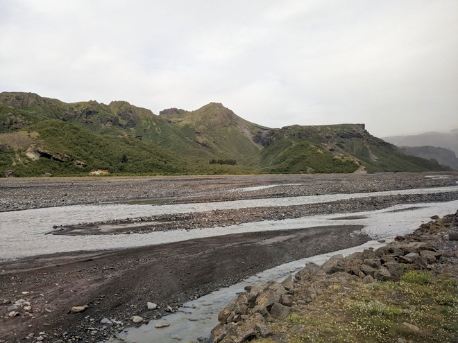
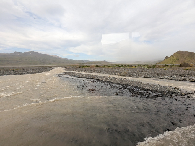
My view was in the opposite direction from when we arrived, and it was much lower-lying. You could see evidence of stones being carried a long ways by water in some form.
Crossing a river.
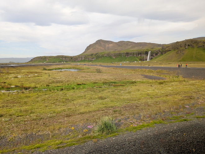
Seljalandsfoss in the distance, after we took a right turn onto the ring-road, back towards civilization.
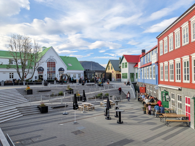
The very successfully renovated downtown of Selfoss.
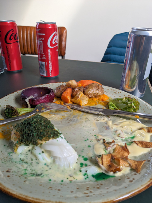
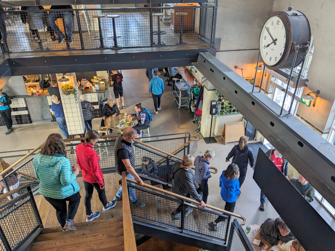
Yummy dinner at the food hall!
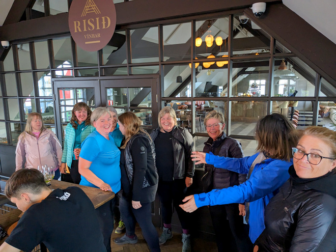
Then it was time for goodbye hugs.
It was 8 in the evening, but you couldn’t tell that from the amount of daylight.
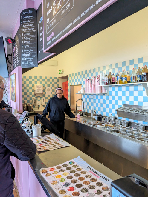
Some of us decided that we needed ice-cream for dessert, and waited in the loooong line at the ice-cream shop. It was worth it. Then it was home sweet home!