Independence Day & Hiking Glymur Waterfall
[Photos taken 17 – 18 June 2022, posted online 11 February 2023. Just returned from a week-long couples’ vacation in Tenerife, and now there’s a storm raging outside. Very Icelandic. ]
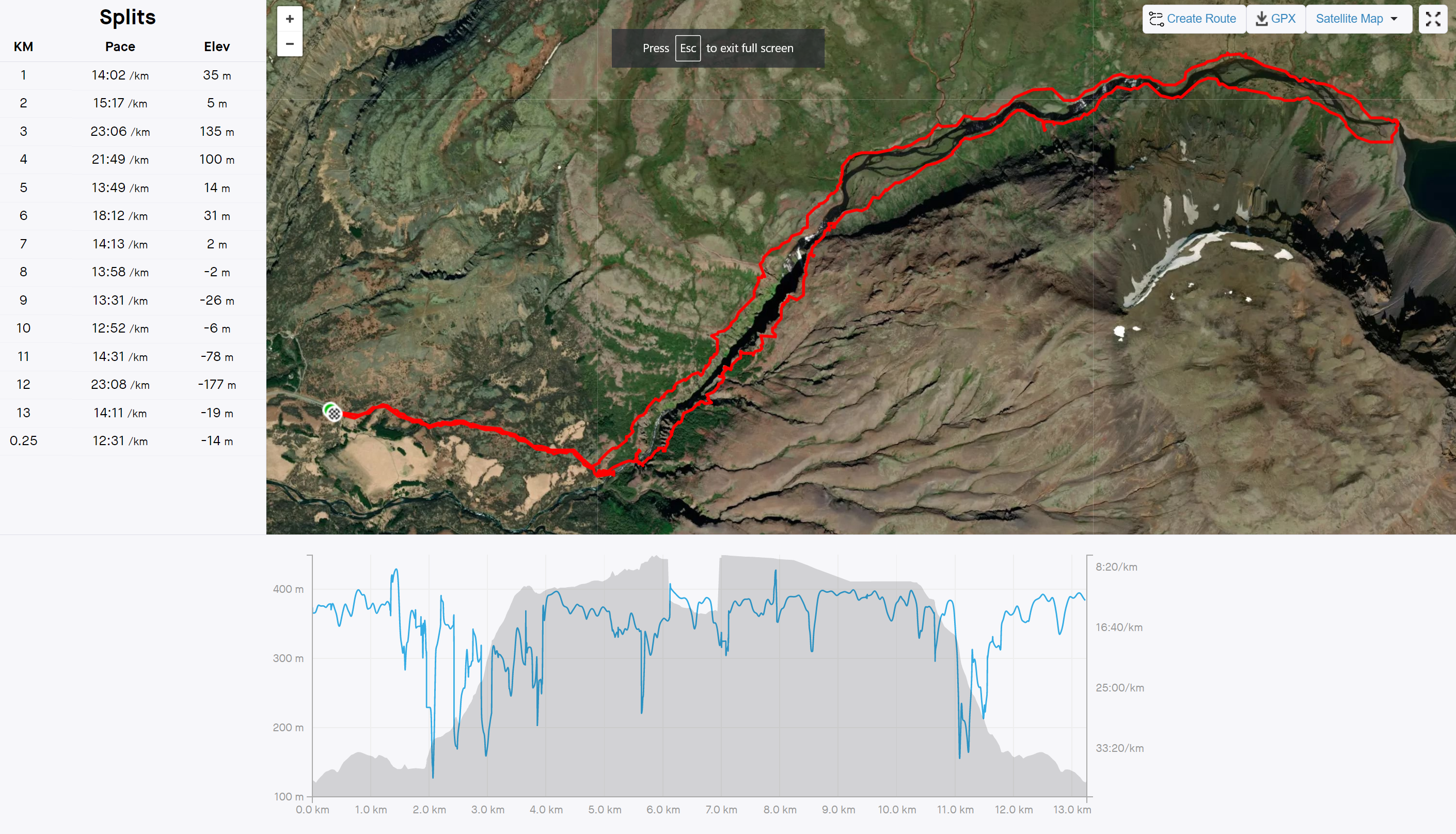
Independence day was a relatively quiet affair, with Finnur off on a work-trip in London. The day after I hiked 13 km up Glymur, Iceland’s second highest waterfall , to Hvalvatn (Whale-Water) , and back again with my hiking group. (60-ish images total)
Independence Day Friday 17 June 2022
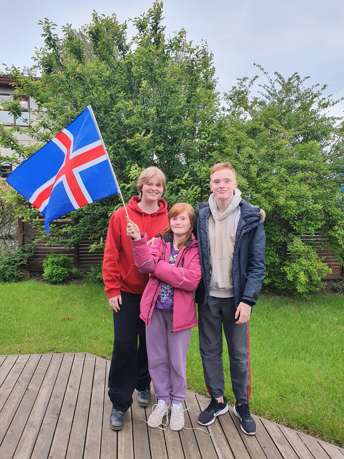
Kiddos with a flag we found lying in our street on Independence Day.
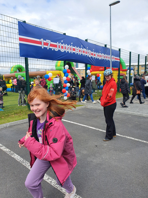
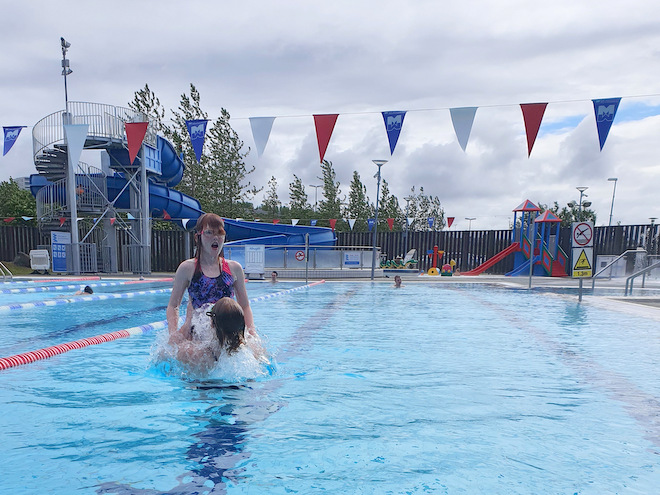
Finnur was still on a work-trip in London, but I did manage to rally the girls into checking out the festival by the swimming pool.
The festival was mostly lines for the bouncy castles, so to the swimming pool we went instead.
Saturday 18 June 2022
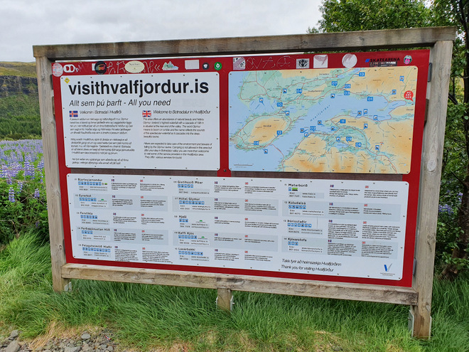
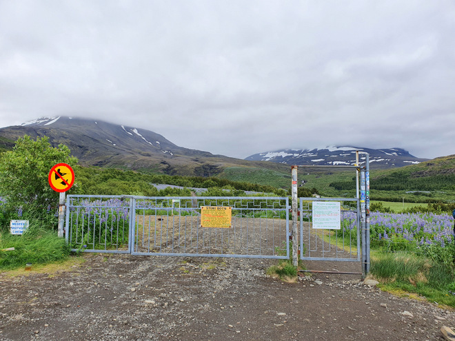
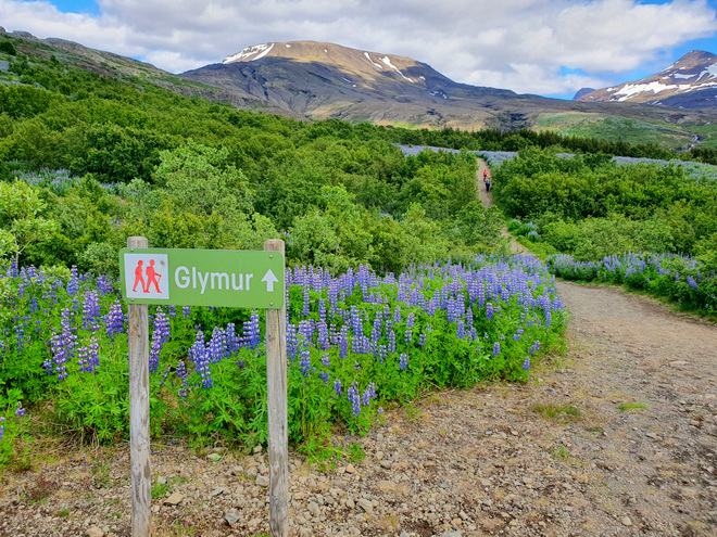
The hiking group kept going, this time with a hike up to Glymur, Iceland’s second highest waterfall, about an hour of driving from the capital area.
We would walk towards the hill on the left, and up along the ridge.
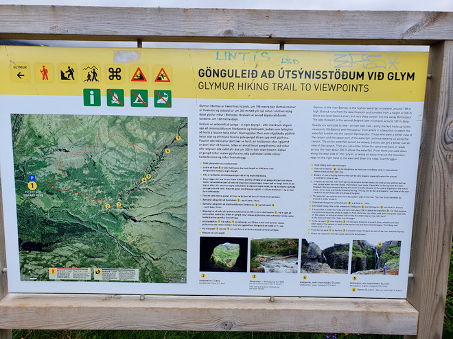
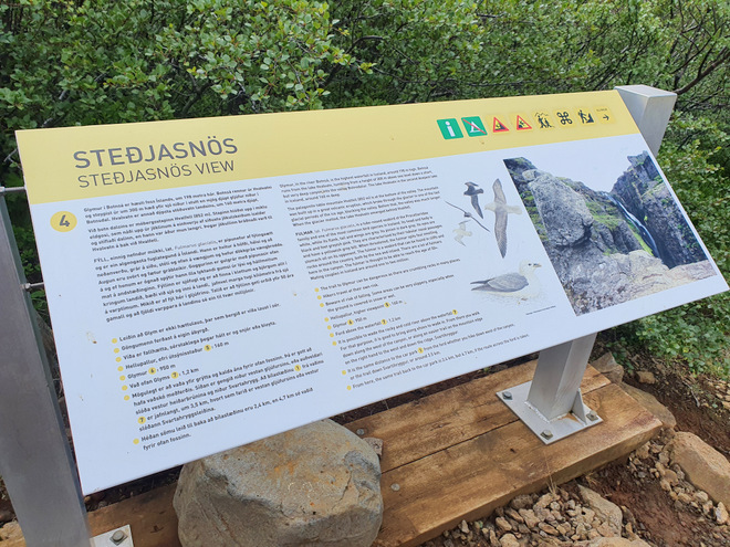
Map of the trail. I’d never hiked this before, but have wanted to for a long time.
The Strava recording and map, click to view larger version.
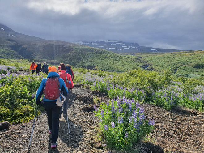
Off we went! The clouds looked a bit ominous, but the forecast was good.
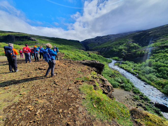
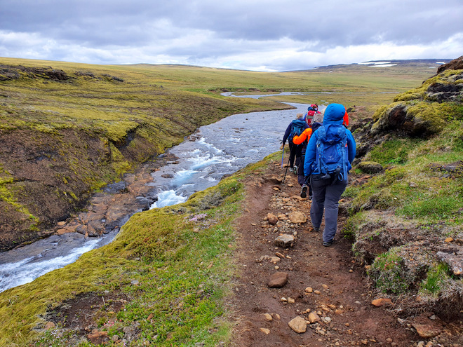
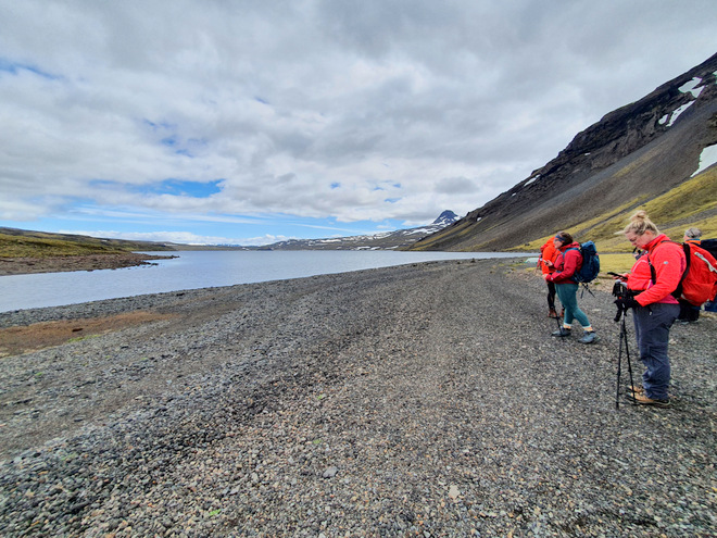
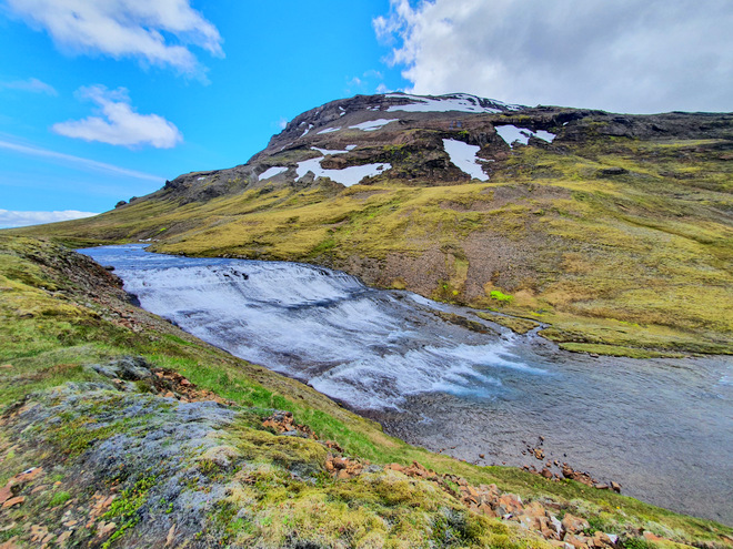
The river coming down the hillside. We would cross it down below, clamber up the far side, all the way up to the dam way up at the top
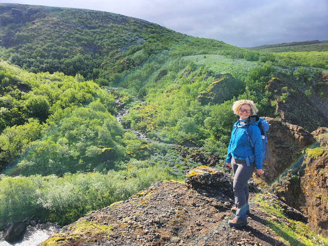
The area was looking lush.
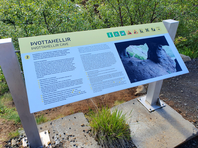
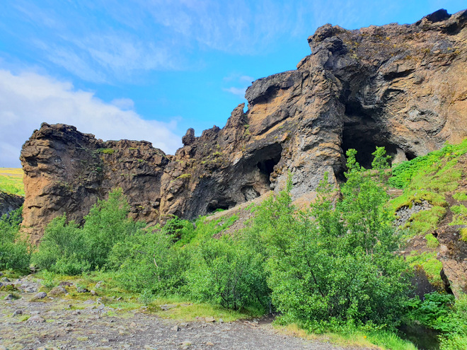
Info sign about Þvottahellir, or the Laundry Cave that we went through on the way down to the river.
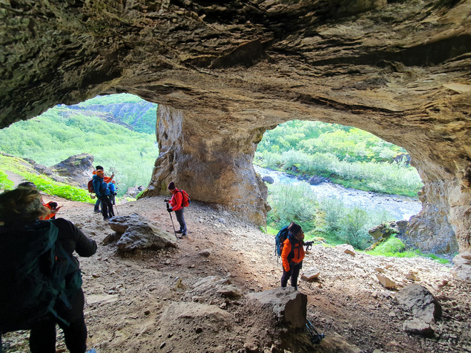
Kind of like walking through underpants!
Looking back at the cave entrance.
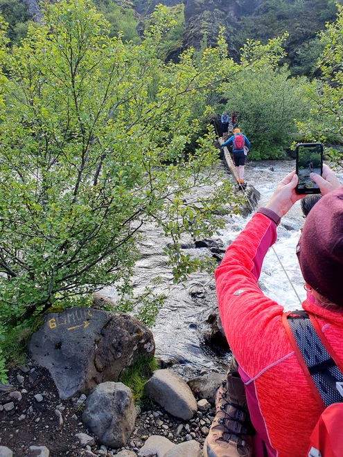
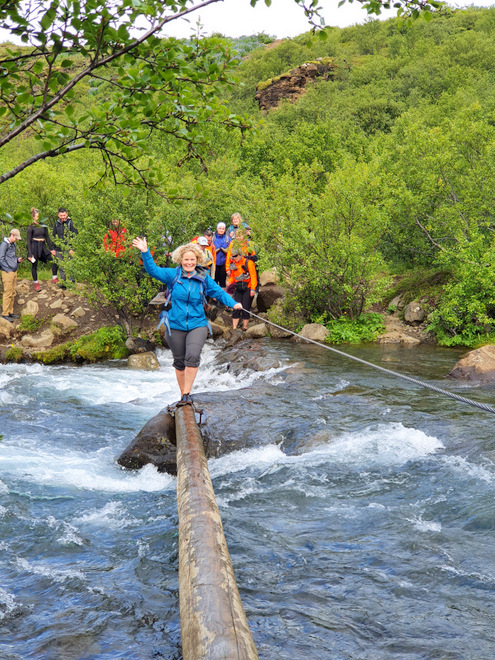
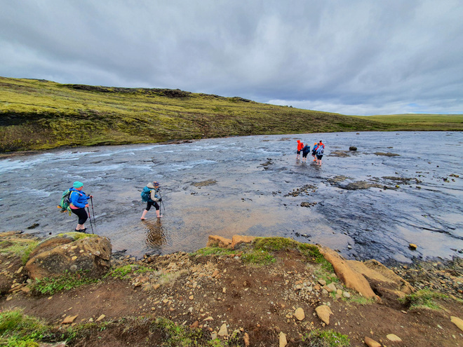
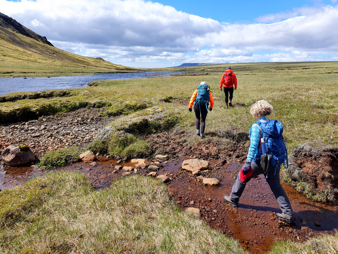
Crossing the river, one at a time.
From the other side.
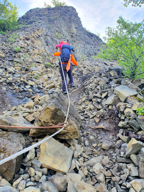
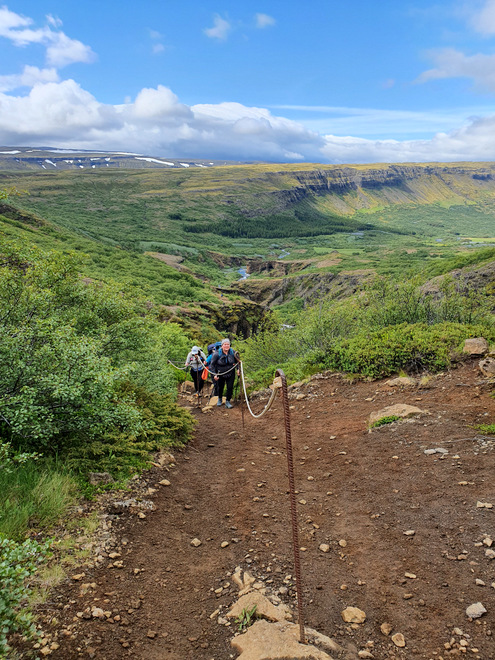
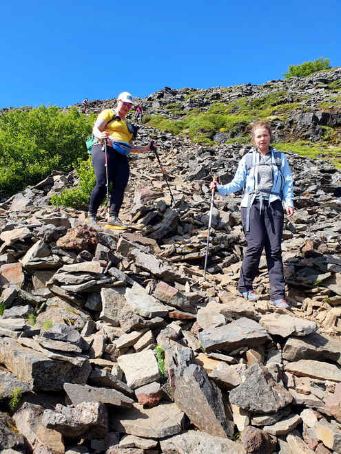
After drying our feet, it was up, up, up.
Thank goodness for ropes!
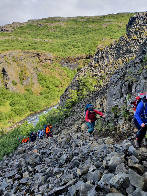
Scrambling along.
Woooow!
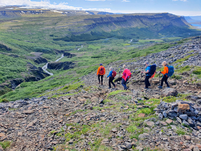
Still plenty more to go!
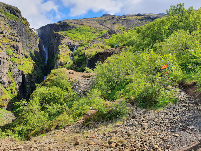
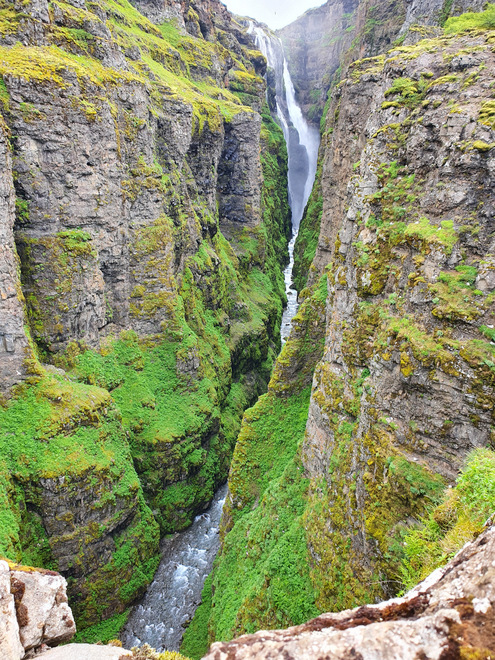
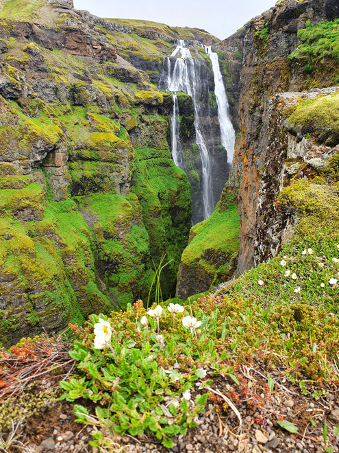
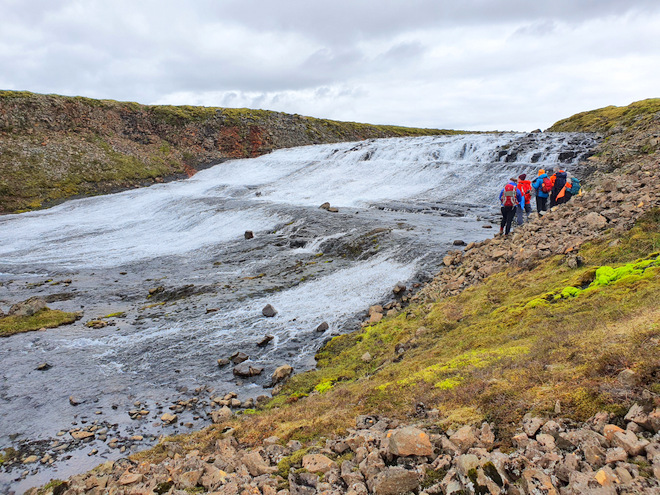
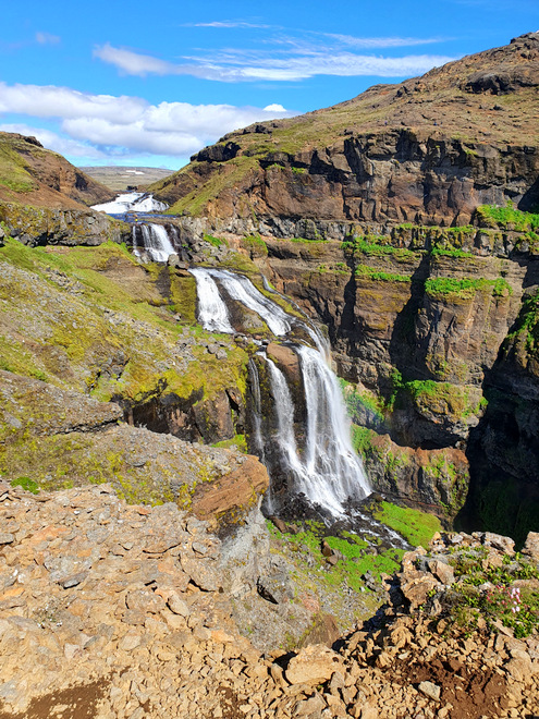
The first view of the Glymur waterfall.
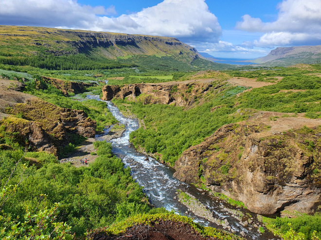
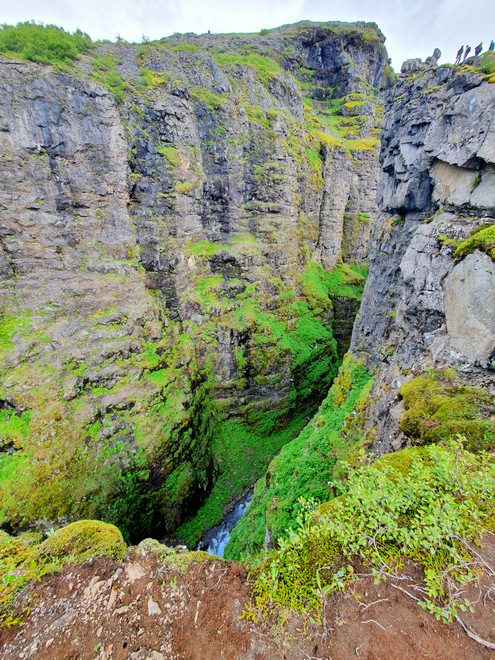
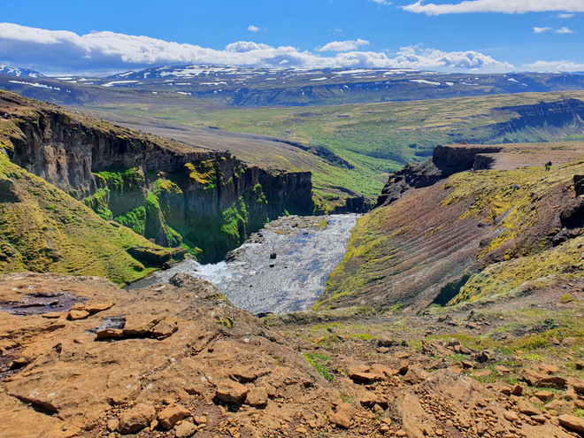
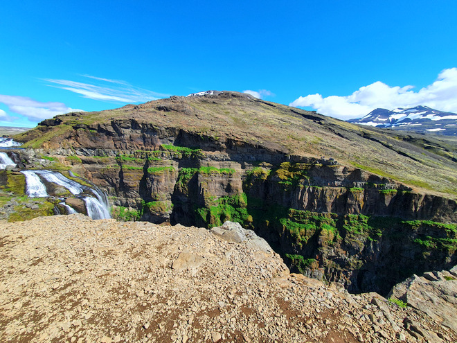
Hello canyon.
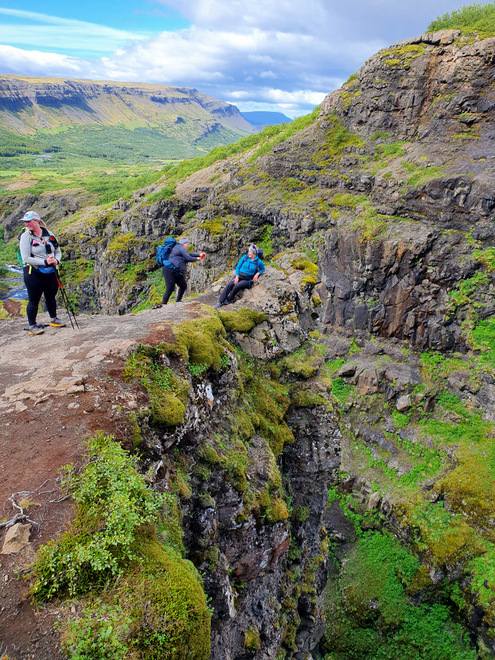
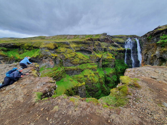
Photos on the edge.
Remembering to look backwards.
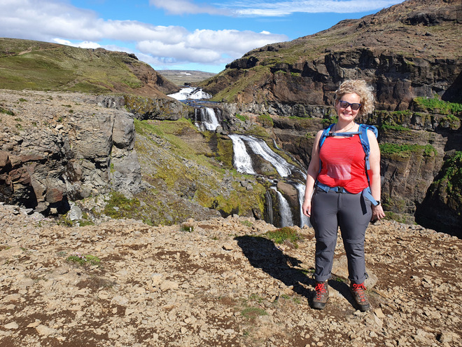
Your truly.
This view has a name!
A mental note to never hike this in slippery and windy conditions!
A rock of pancakes.
Yet another viewpoint, now with a flower.
Crawlers to the edge.
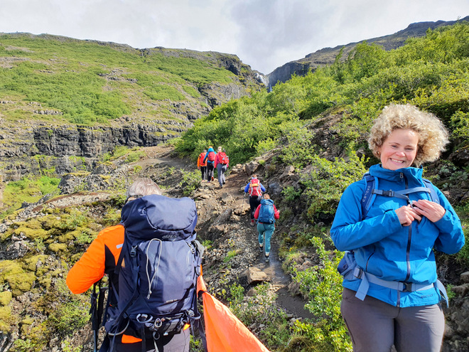
Yet further up the hill!
Another yours truly!
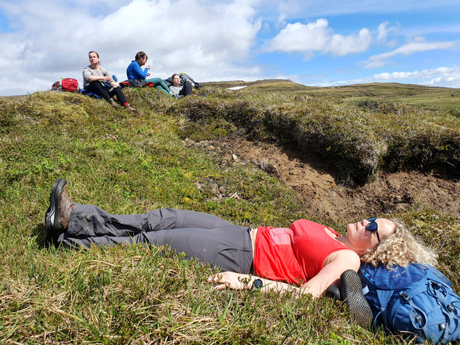
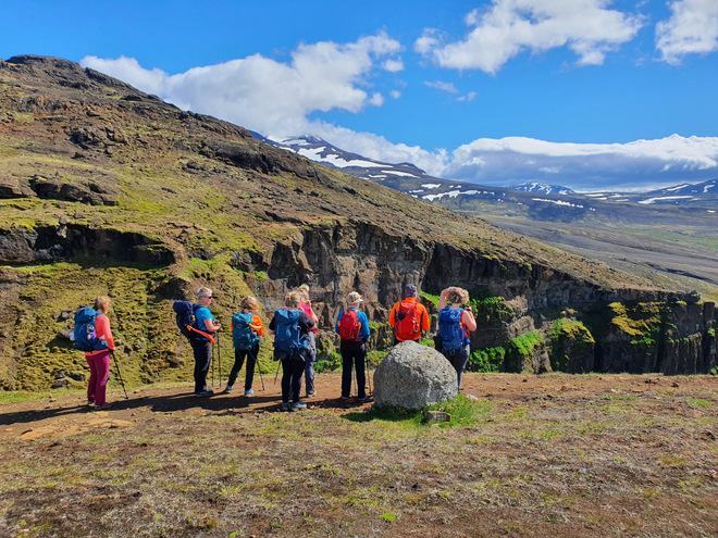
At noon sharp, we sat down to eat and drink, and enjoy the view.
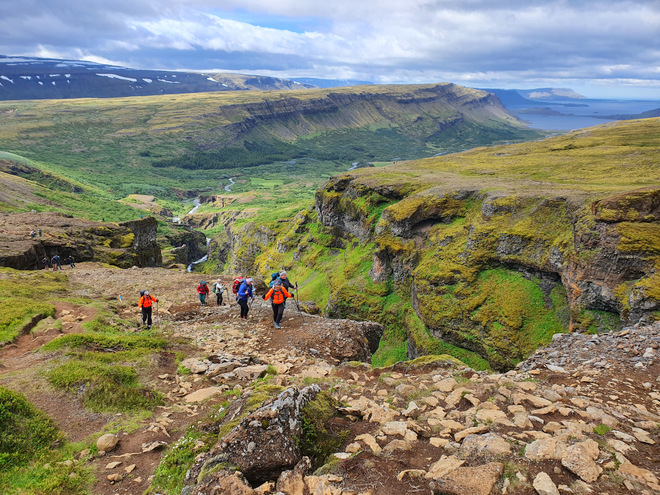
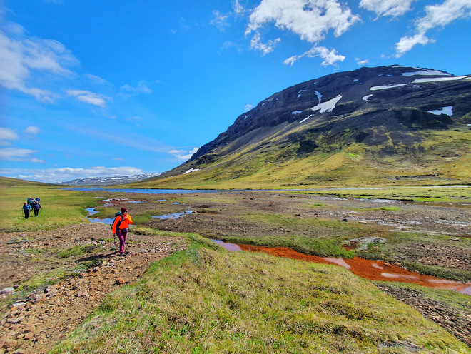
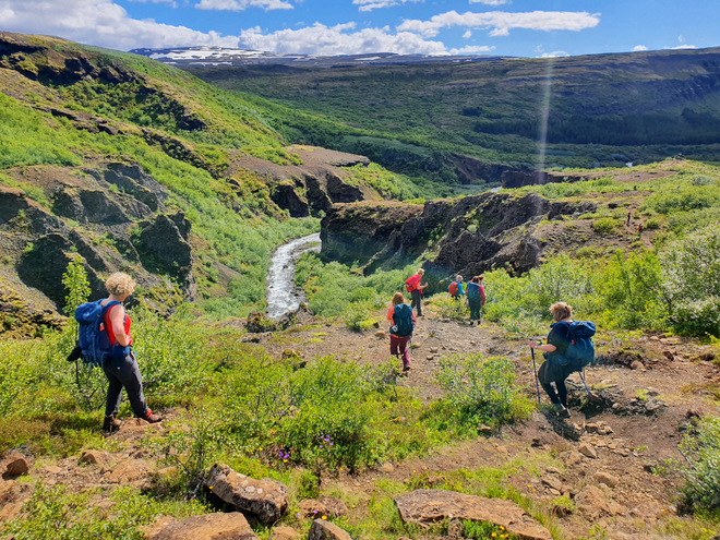
Finally, the path leveled out, and we trudged along the river for a bit.
Our guides attempted to cross the river, but didn’t like the look of things. So it was decided to keep going on this side of the river to the dam.
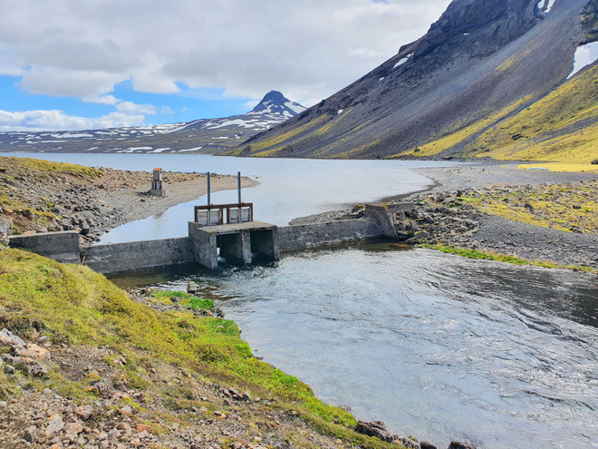
This is a natural waterfall, although it looks eerily like a dam.
A rock out of nowhere.
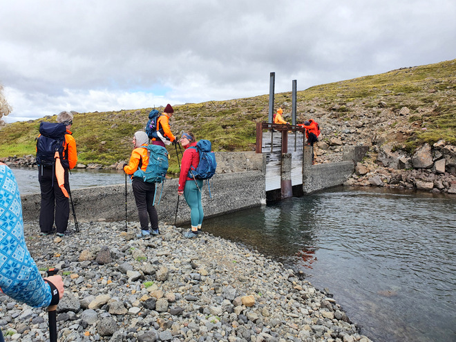
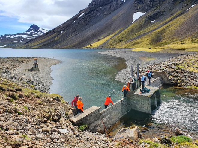
At 1:30 pm we made it to the man-made lake.
Our crossing point, the old dam.
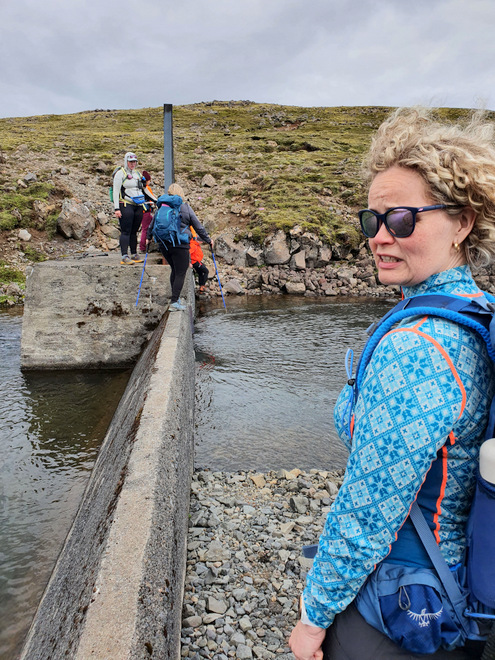
Hmmm… that’s not a very wide ledge.
Slowly but surely, everyone made it across.
Good bye, you were not loved.
On the way back, the sun came out in force.
Pretty!
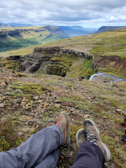
A well deserved rest at 2 pm.
The funky waterfall.
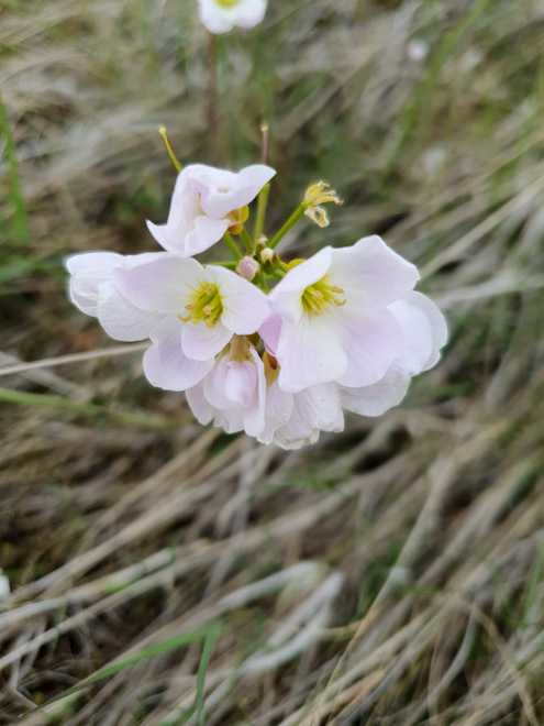
Pretty flowers.
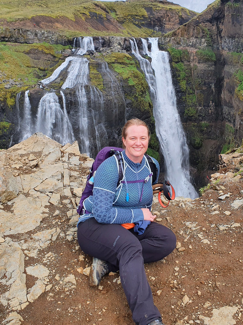
Finally at the edge of the waterfall again.
The group gathered to watch some crazy people that had decided to take photos on the edge of the waterfall.
An influencer on the edge?
We hiked on down and realized the edge wasn’t quite the steepest fall available, but still…
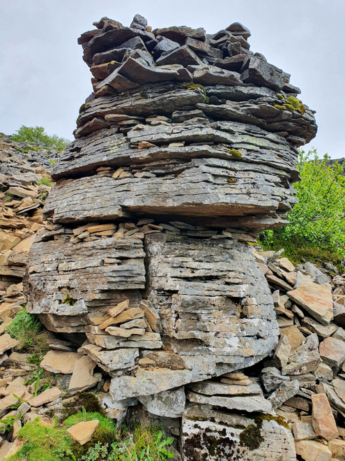
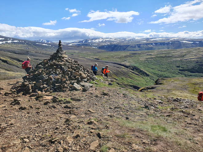
Cairn, check.
The top half of the waterfall, the big drop is further down.
It was a little unreal to think we’d been walking along that far edge. We could see the people on the other side walking upwards.
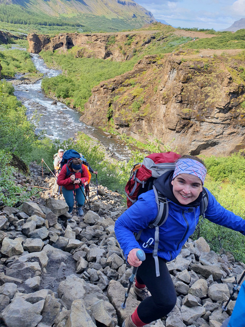
The hike down was no joke.
Pancake rocks, galore!
At one point I slipped straight on my butt on slippery mud in a “forested” area.
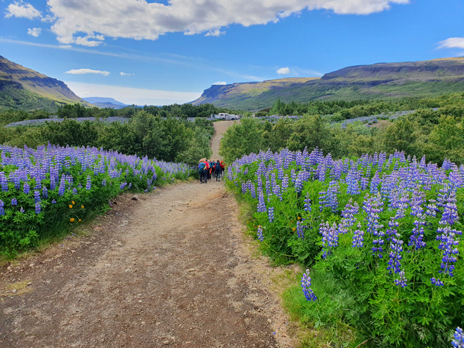
The cars, a sight for sore feet!
All done! This was challenging at 13 km, but also a lot of fun, and the weather really helped.